
No joke; much of the weekend will be nicer
Sun for the first half of Friday and warmer. Showers later.
Go Deeper.
Create an account or log in to save stories.
Like this?
Thanks for liking this story! We have added it to a list of your favorite stories.


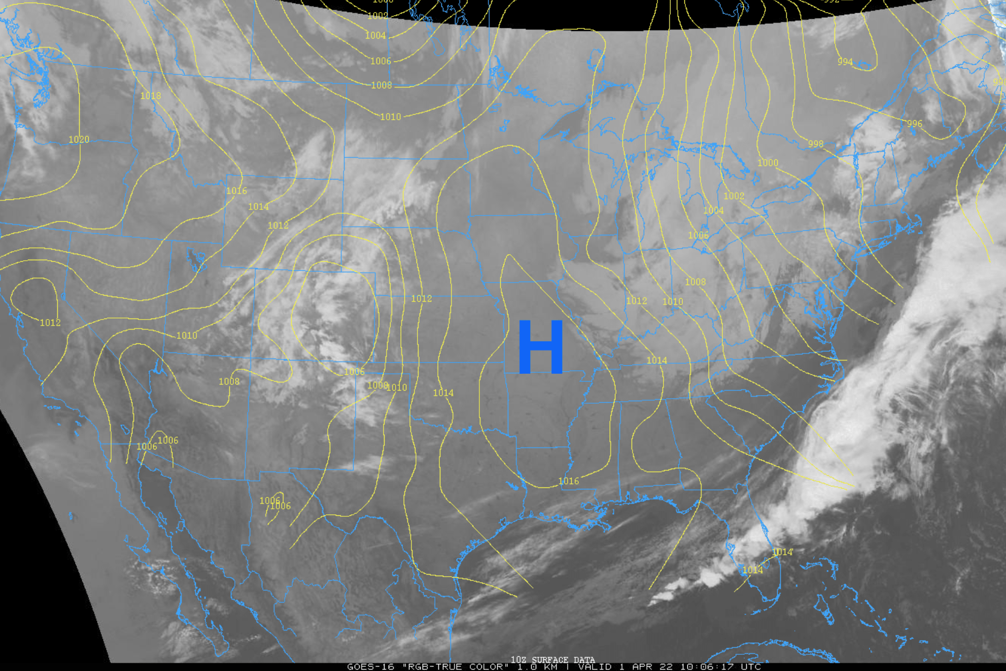
Be aware of slick spots again on untreated surfaces early on as temperatures are back well below freezing. With the clear skies overnight it is downright chilly to start the day.
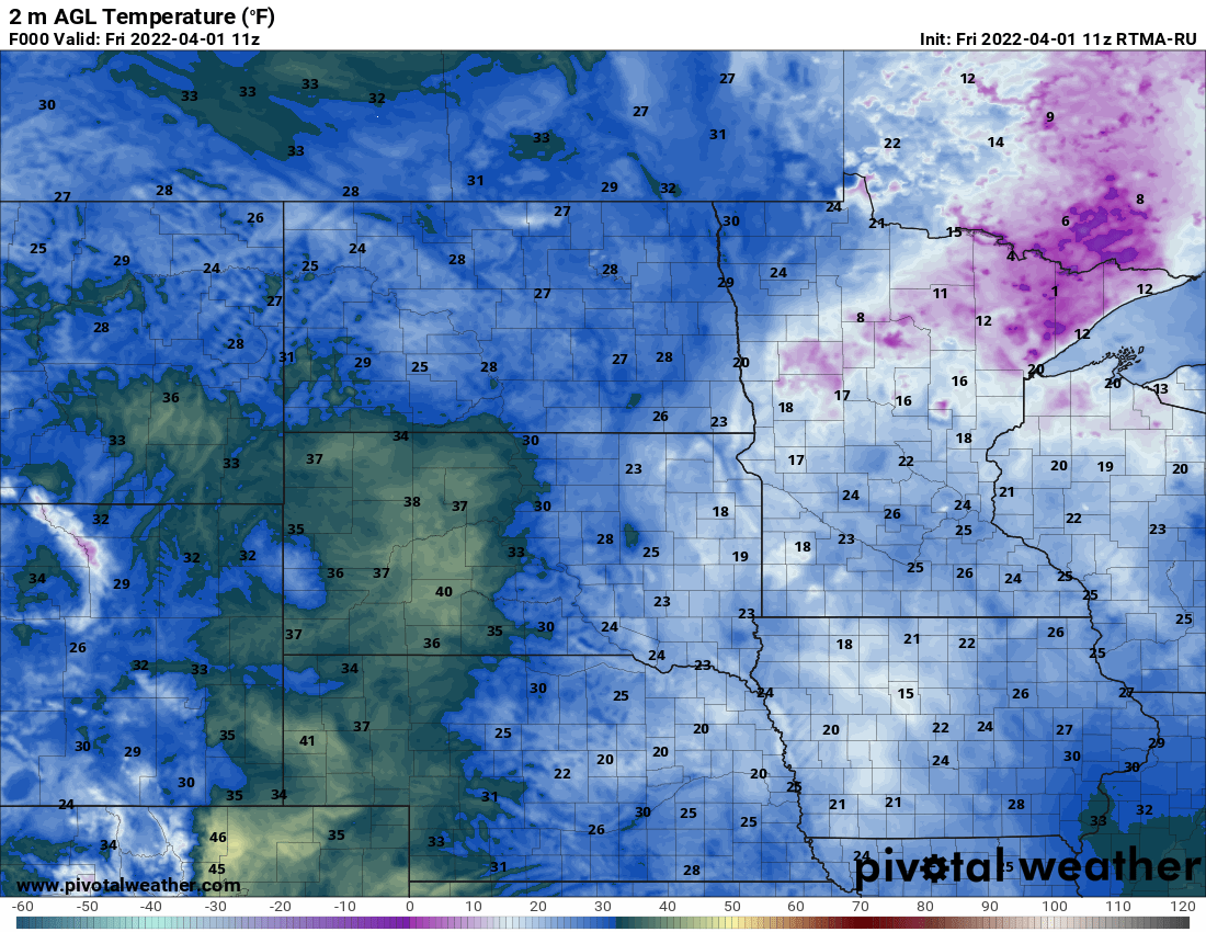
We’ll have sunshine the first half of Friday before clouds increase again ahead of the first of two fast moving clipper systems that will bookend the weekend with some rain, snow showers.
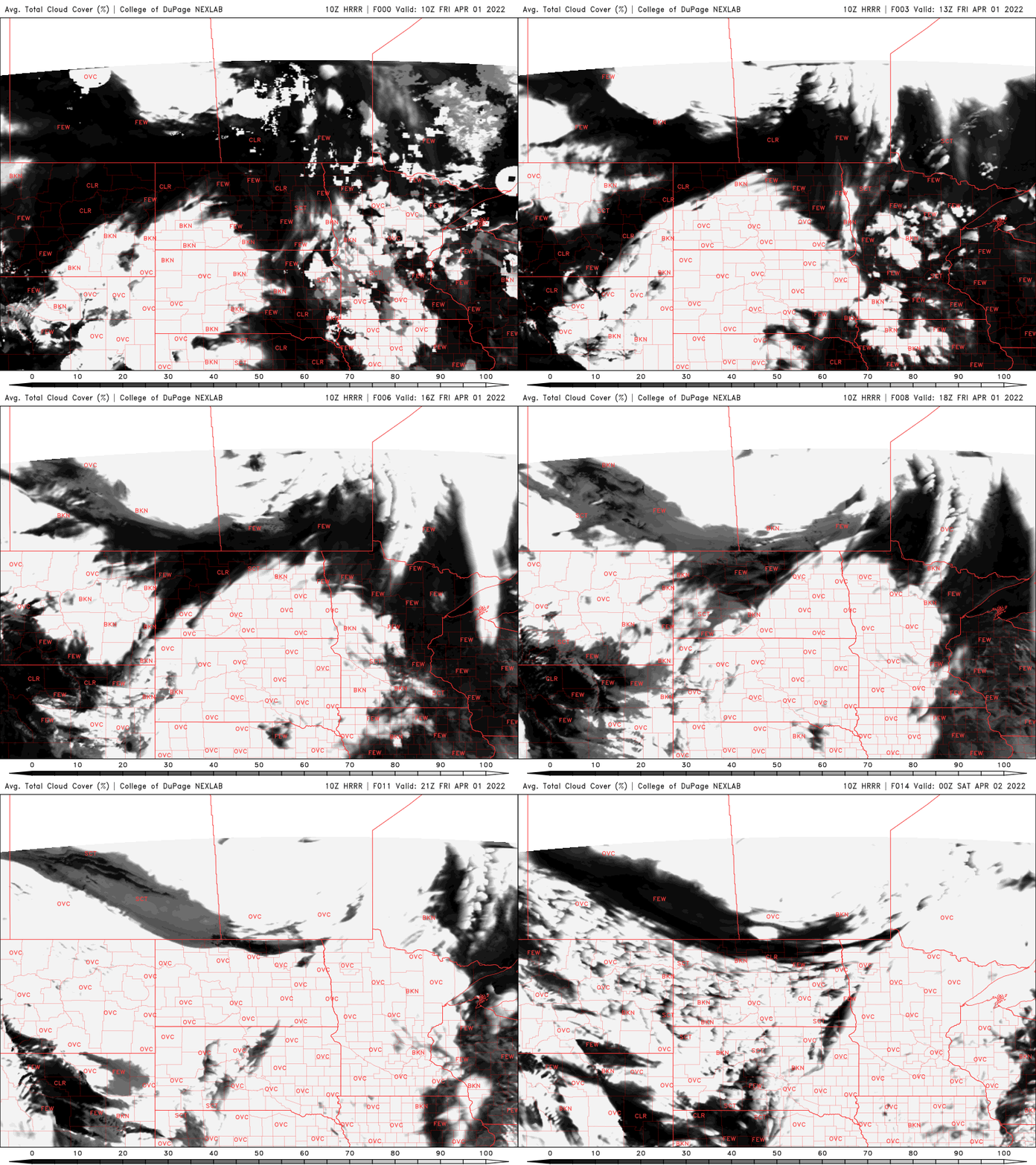
High temperatures should be well into the 40s for most of the state, at least 10 degrees warmer than Thursday’s chilly temperatures.
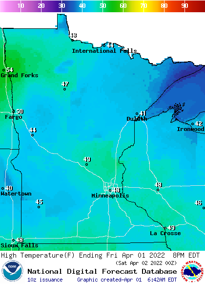
Showers will arrive in western Minnesota during the afternoon and reach the Twin Cities and eastern Minnesota by evening. Most areas will see some light rain, but portions of east-central and southeast Minnesota could see snow showers mixed in.
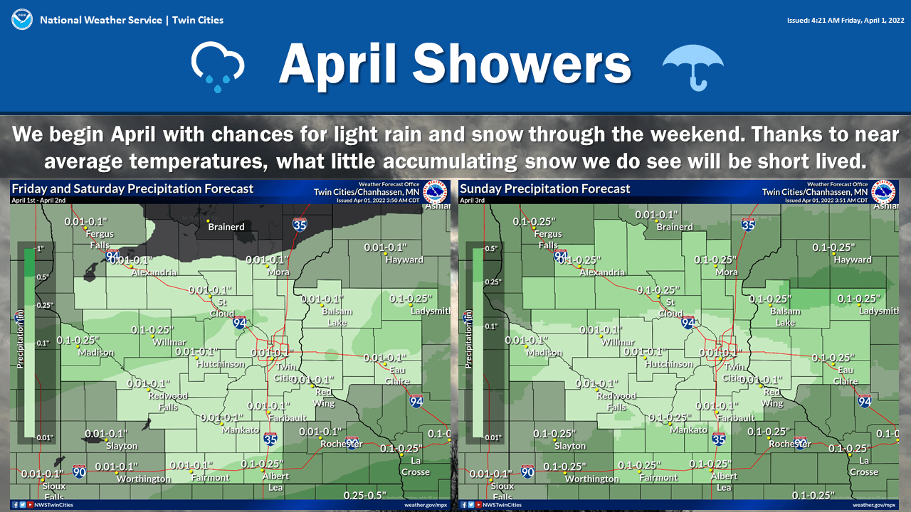
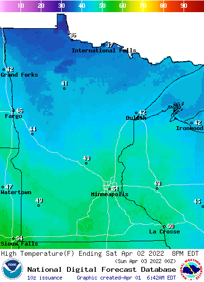
We’ll then see the sun peek back out Saturday into Sunday morning with temperatures in the 40s to low 50s both days.
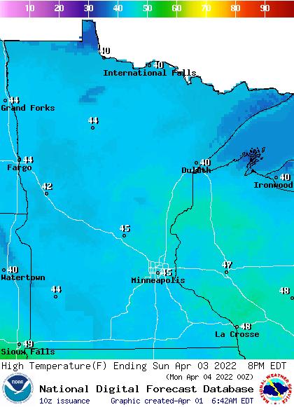
The next clipper brings more fast moving showers late Sunday.
Next week is looking soggy again midweek as yet another larger storm system takes aim at Minnesota midweek.
Turn Up Your Support
MPR News helps you turn down the noise and build shared understanding. Turn up your support for this public resource and keep trusted journalism accessible to all.

