A little afternoon sun Monday; more rain Tuesday
Dry Monday with a prolonged storm system arriving Tuesday
Go Deeper.
Create an account or log in to save stories.
Like this?
Thanks for liking this story! We have added it to a list of your favorite stories.


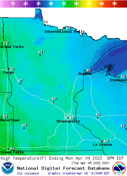
Enjoy one dry day Monday with decreasing clouds. High temperatures will mainly be in the 40s statewide. Rain showers develop west Tuesday morning and spread east by afternoon in the east with a rain/snow mix in northern Minnesota.
Soggy pattern ahead
We picked up 1 inch of snowfall Sunday night in the Twin Cities and 0.34 inches of precipitation. Monday will bring one dry day with afternoon sunshine. Highs will be mainly in the 40s with a few low 50s in southwest Minnesota.
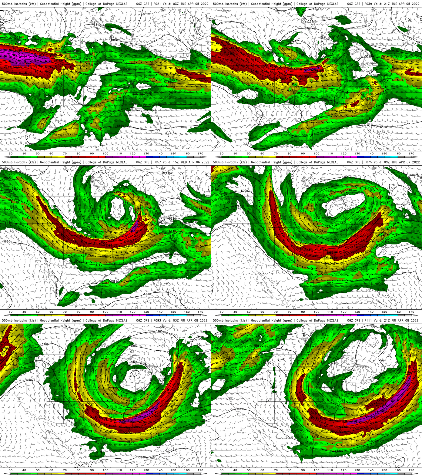
A prolonged, slow moving storm system will bring three days of rain and snow along with windy conditions. The storm will become what we call a ‘cut-off’ upper level low. That means that the system literally cuts off from the main flow/jet stream which keeps systems moving along.
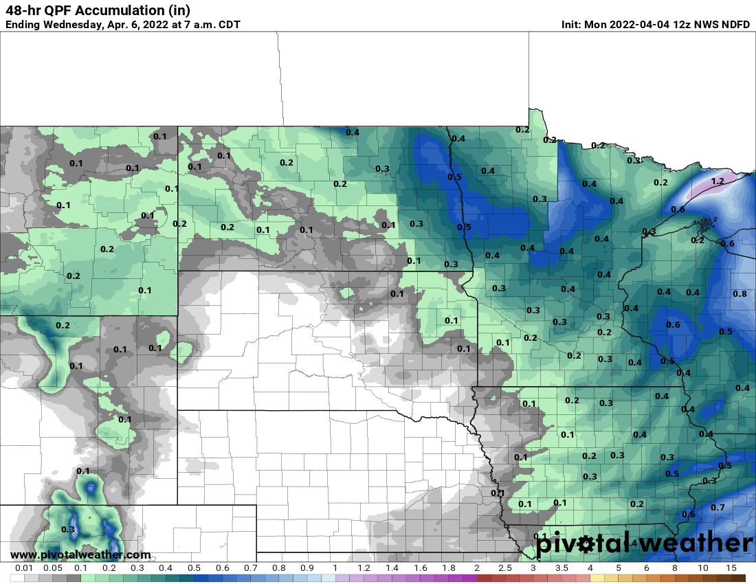
Rain showers will spread into western Minnesota by Tuesday morning and spread east. Eastern Minnesota will see showers by midday/afternoon. The rain will mix with snow in northern Minnesota where a slushy coating could fall in the overnight Tuesday night.
Turn Up Your Support
MPR News helps you turn down the noise and build shared understanding. Turn up your support for this public resource and keep trusted journalism accessible to all.
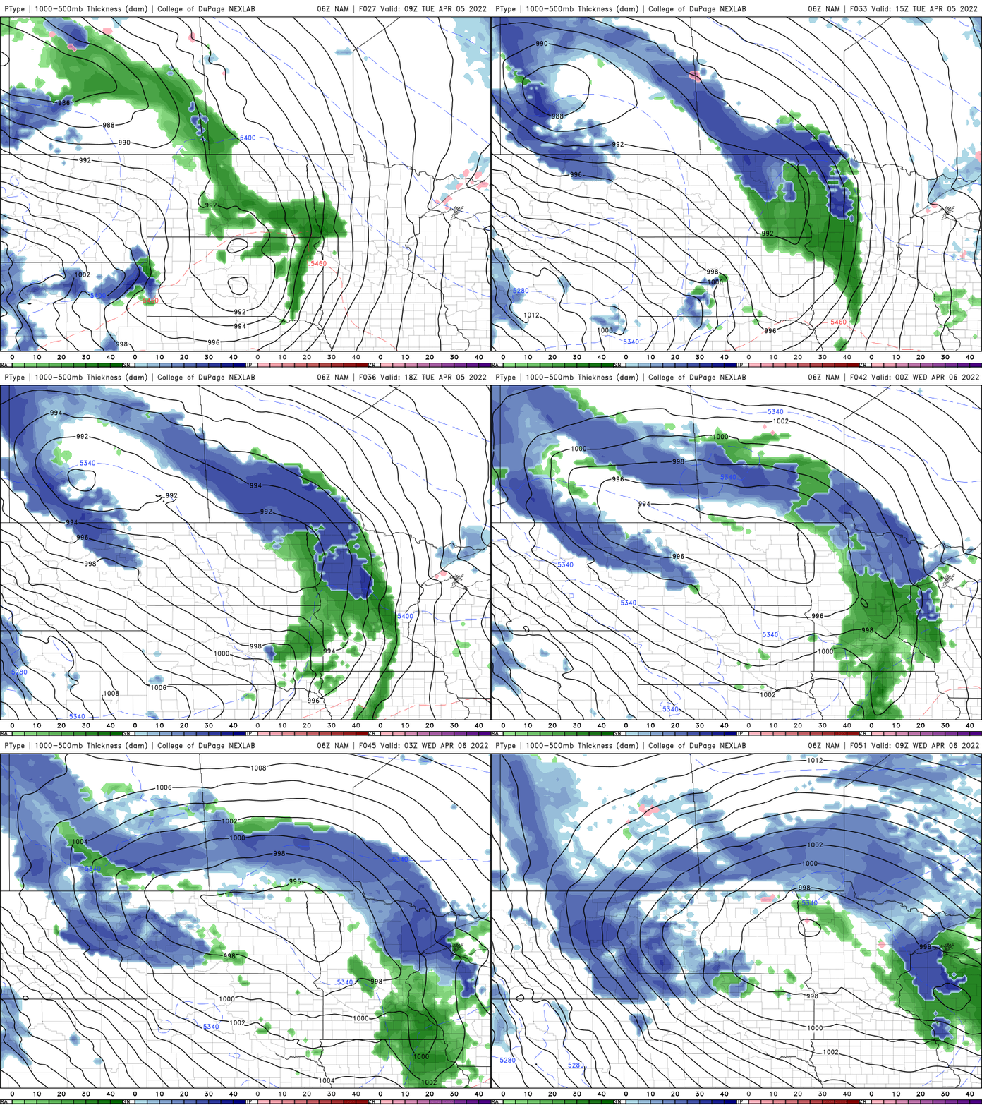
A winter storm watch is posted for the arrowhead region where 4 to 8 inches of snow could fall over the course of Tuesday into Thursday. Parts of the rest of northern Minnesota too could see a slushy coating of snow Tuesday and Wednesday nights.
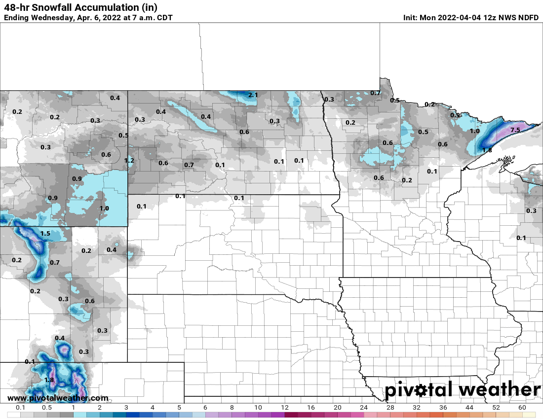
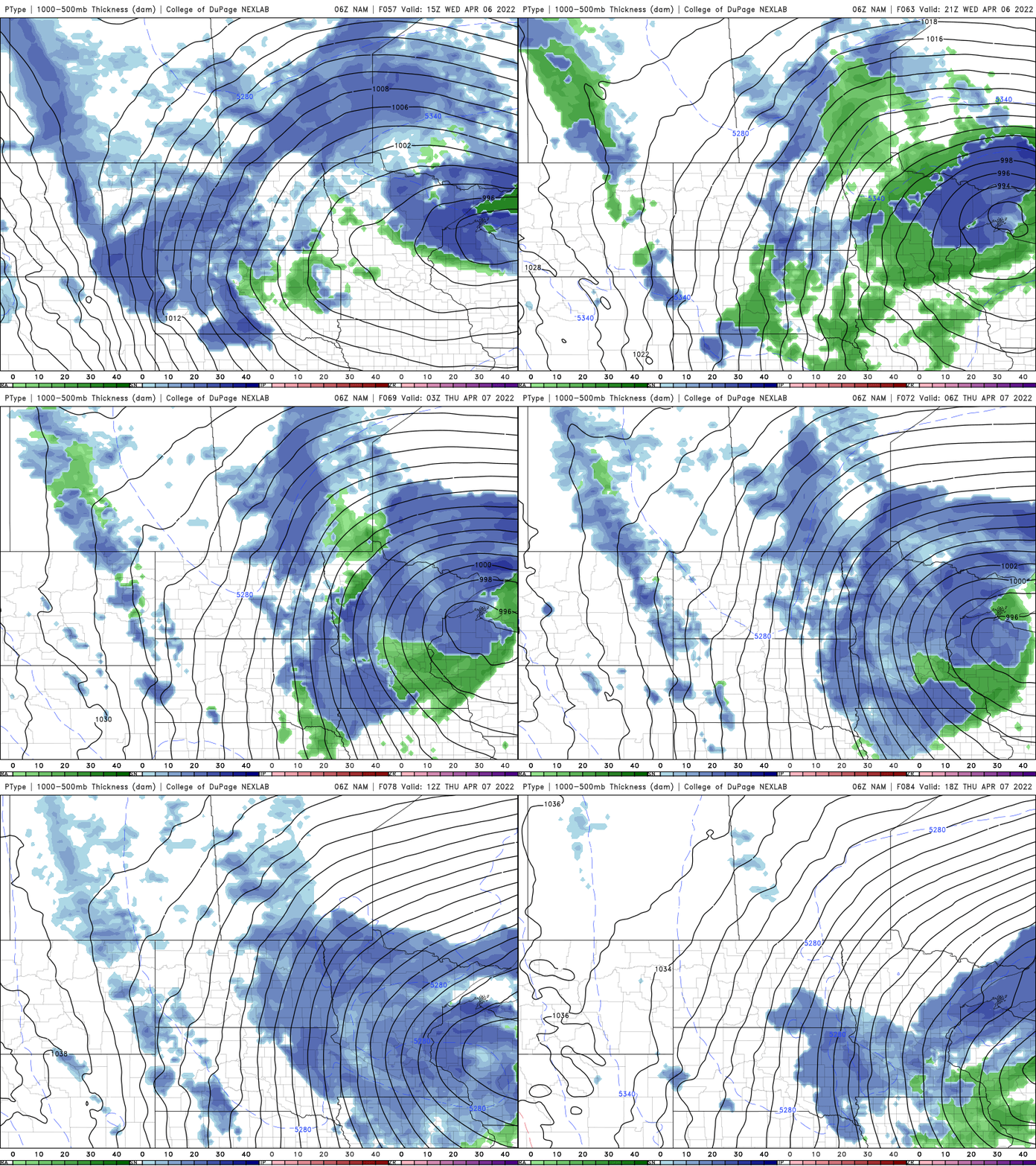
A second round of precipitation arrives mainly late Wednesday as moisture wrap around the large upper level low. Expect more rain, mixing with snow showers.
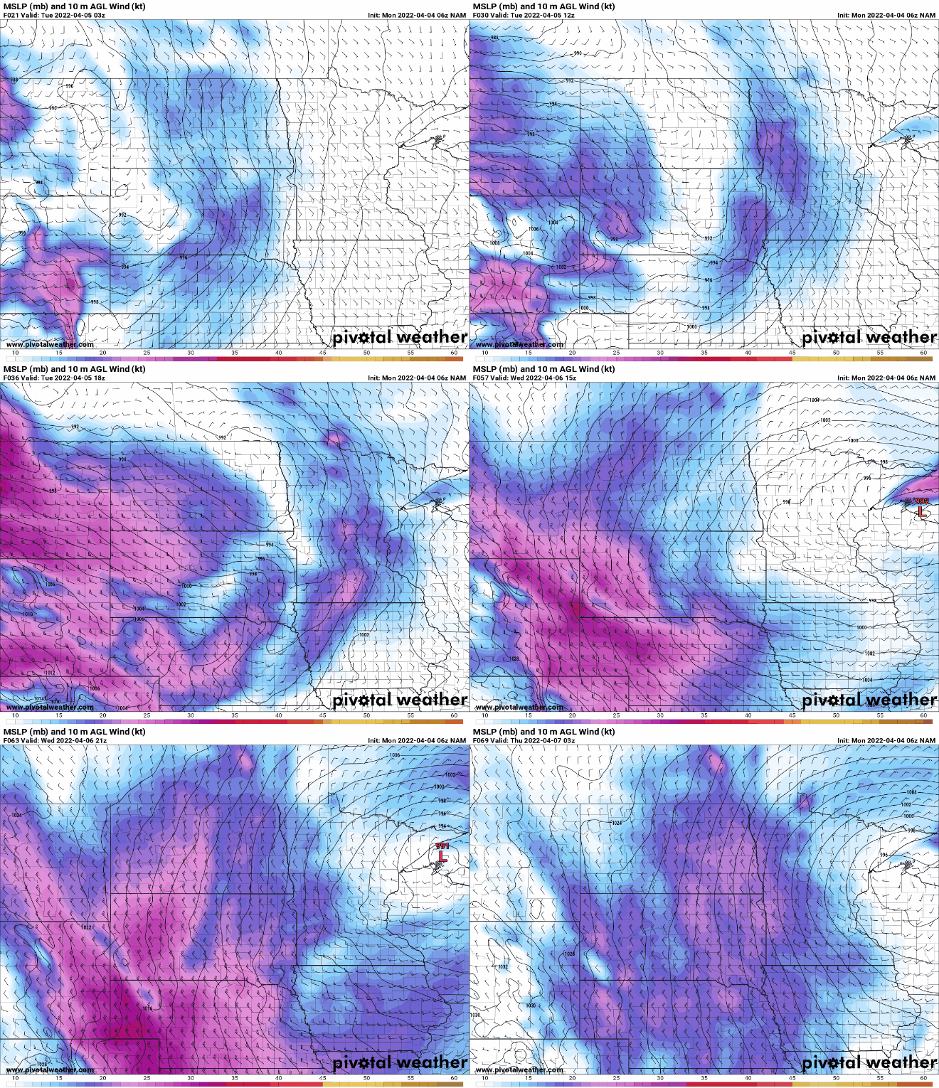
The other notable feature the next few days will be windy conditions Tuesday through Thursday. Winds will be 10-30 mph with gusts over 40 mph.
Warm up in sight
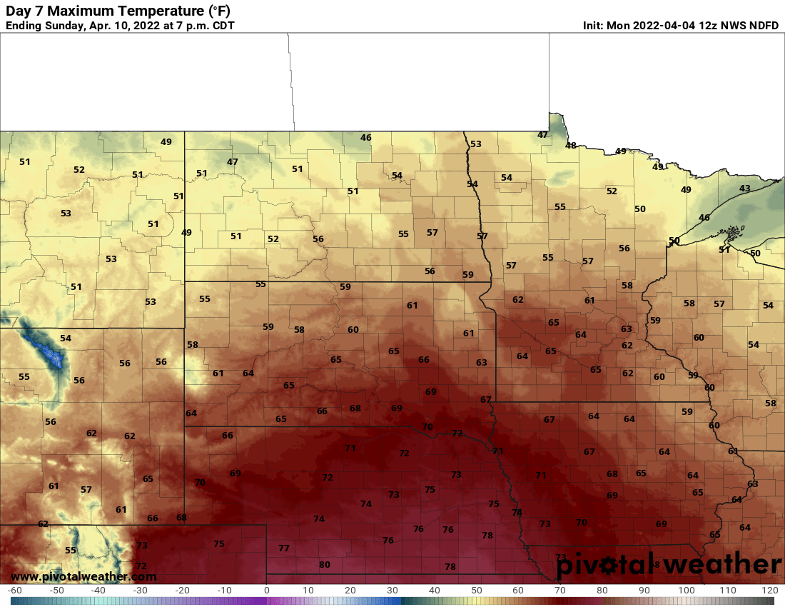
Finally there’s some hope for the weekend however. Sunshine and warmer temperatures look to return with highs in the 50s Saturday and 60s Sunday into early next week. Some models even hint at possible 70 degree readings.