
A dry Friday, sunny Saturday; another big storm next week
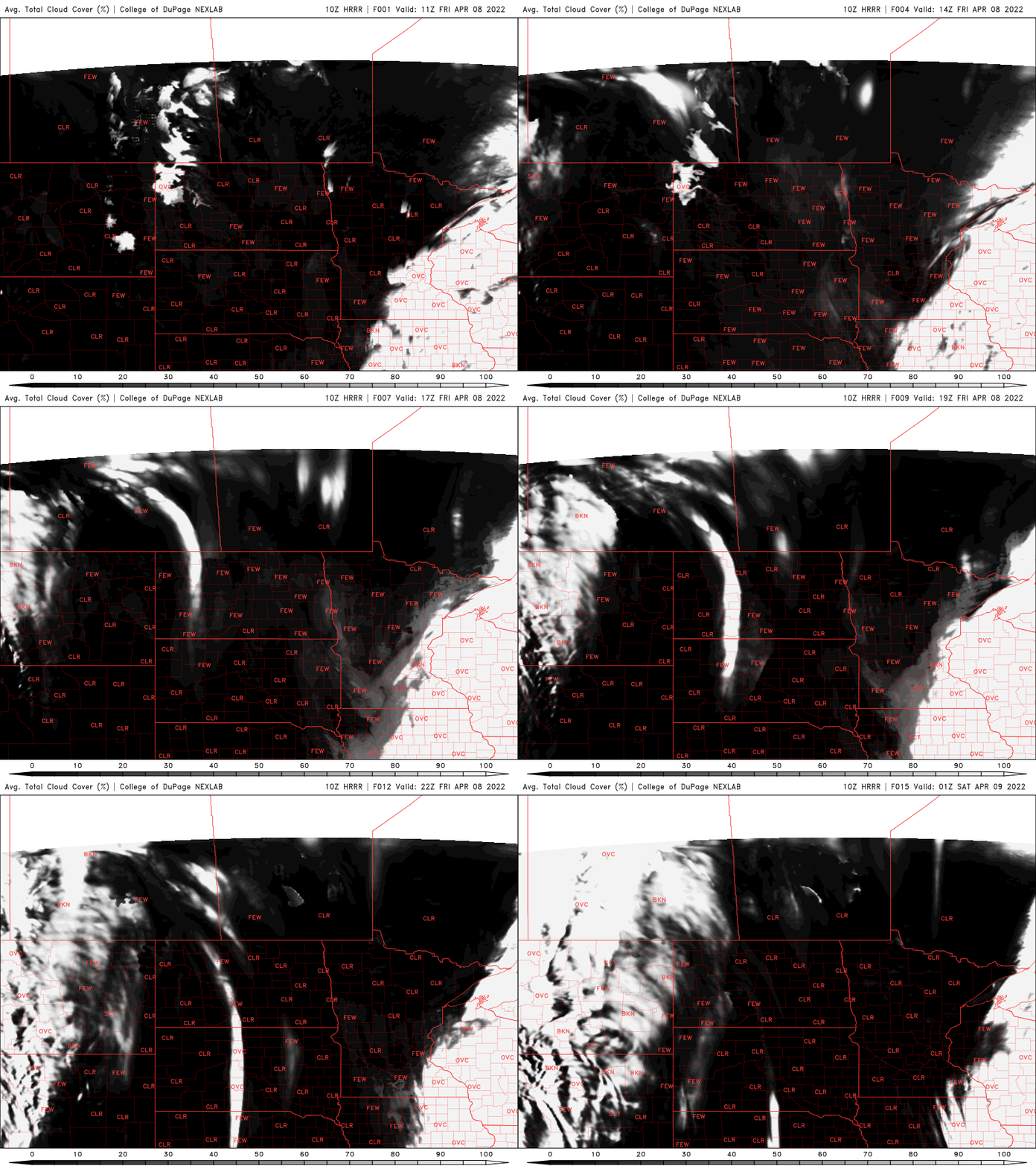
Clouds will slowly decrease west to east Friday with sunny skies Saturday
Go Deeper.
Create an account or log in to save stories.
Like this?
Thanks for liking this story! We have added it to a list of your favorite stories.


Our latest storm system is moving far enough east Friday to allow clouds to decrease slowly across the state west to east. Most of us in far eastern Minnesota will need to wait until the end of the day.
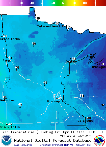
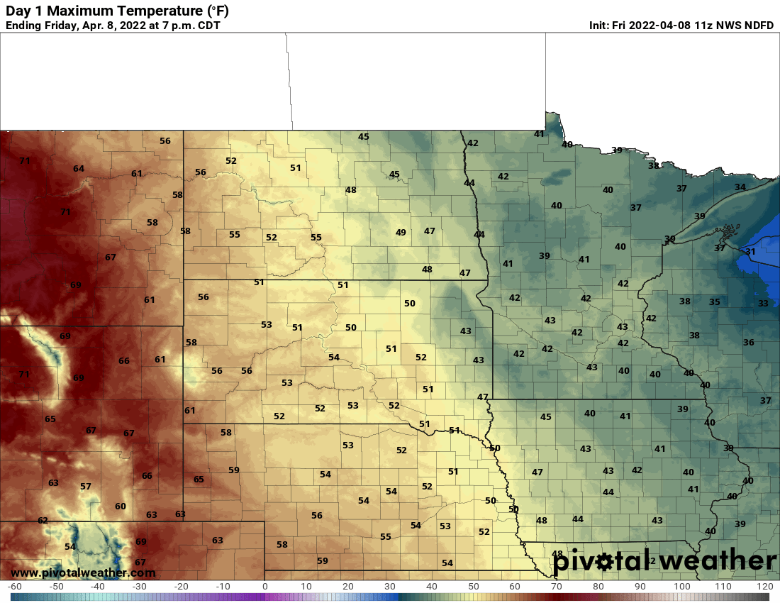
Winds will remain high yet Friday but finally will decrease Friday night. Temperatures will still be below normal Friday too; in the 40s and 30s primarily.
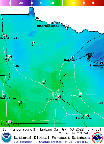
Saturday will be sunny and finally see a return to seasonable temperatures: low 50s from the Twin Cities south, with 40s north.
A fast-moving clipper system moves in Sunday bringing increased clouds with rain and snow showers primarily in northern/northwestern Minnesota where some slushy accumulation is possible.
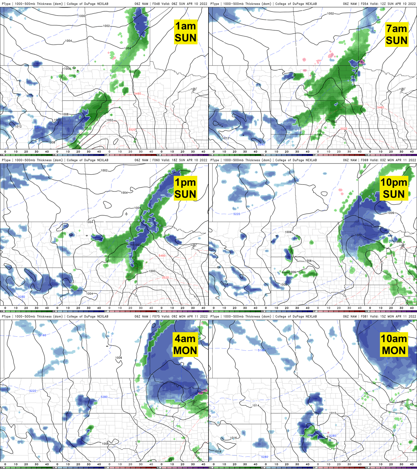
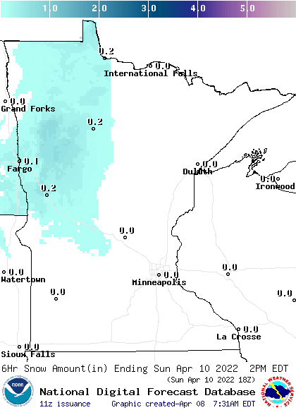
Enjoy the higher temperatures this weekend and some sun because next week brings another big storm. There are lots of questions still on track and this time of year that could mean thunderstorms or heavy snow.

Turn Up Your Support
MPR News helps you turn down the noise and build shared understanding. Turn up your support for this public resource and keep trusted journalism accessible to all.

