
Falling temperatures Wednesday; rain and snow north
Becoming mainly dry south but rain and snow in northern Minnesota
Go Deeper.
Create an account or log in to save stories.
Like this?
Thanks for liking this story! We have added it to a list of your favorite stories.


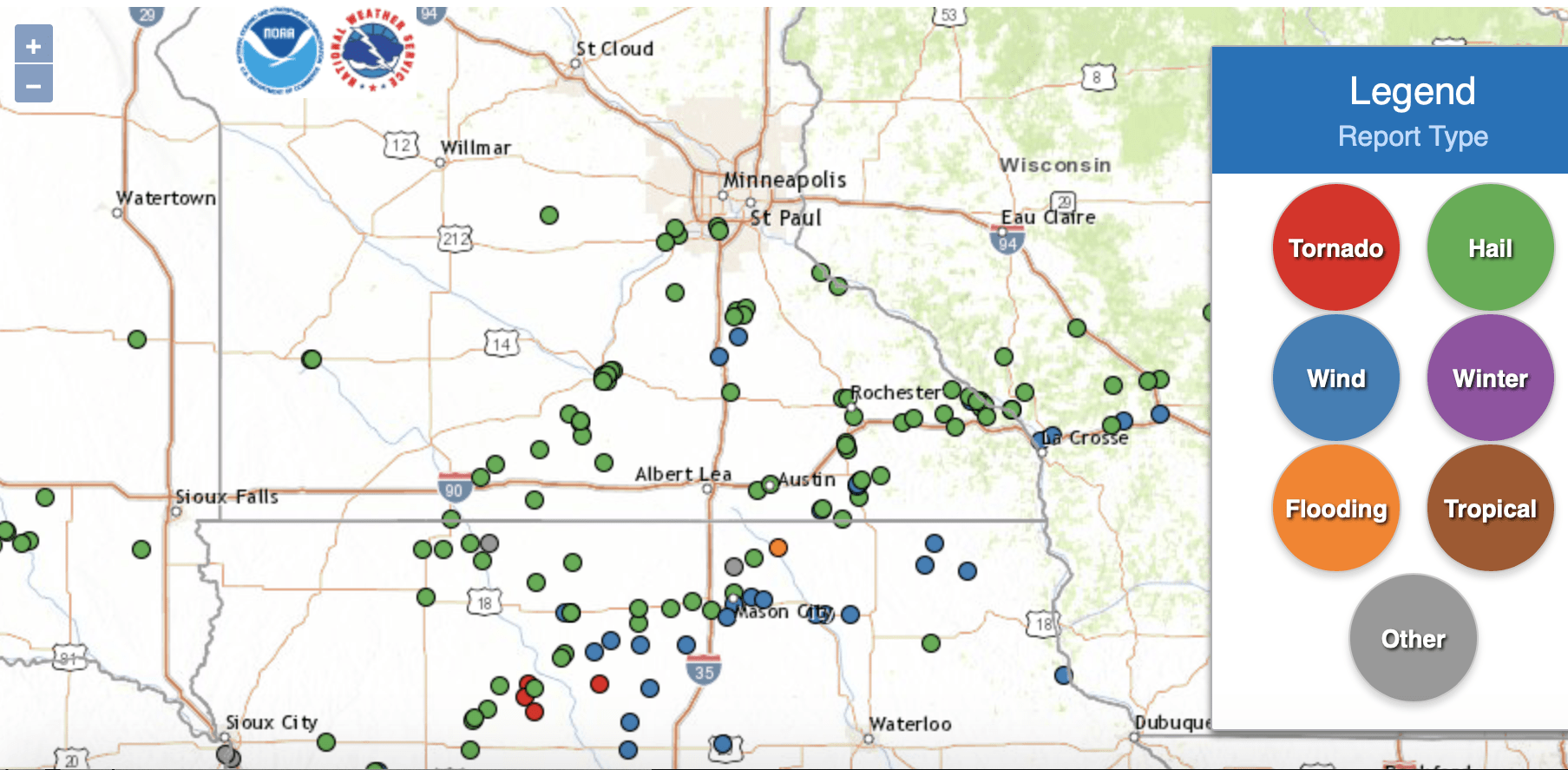
It was the first round of spring severe weather for portions of southern Minnesota Tuesday evening. Most of southern Minnesota saw hail reports though there were some wind damage reports. Faribault saw semis blown over on Interstate 35 and Spring Valley saw a 60 mph wind gust.
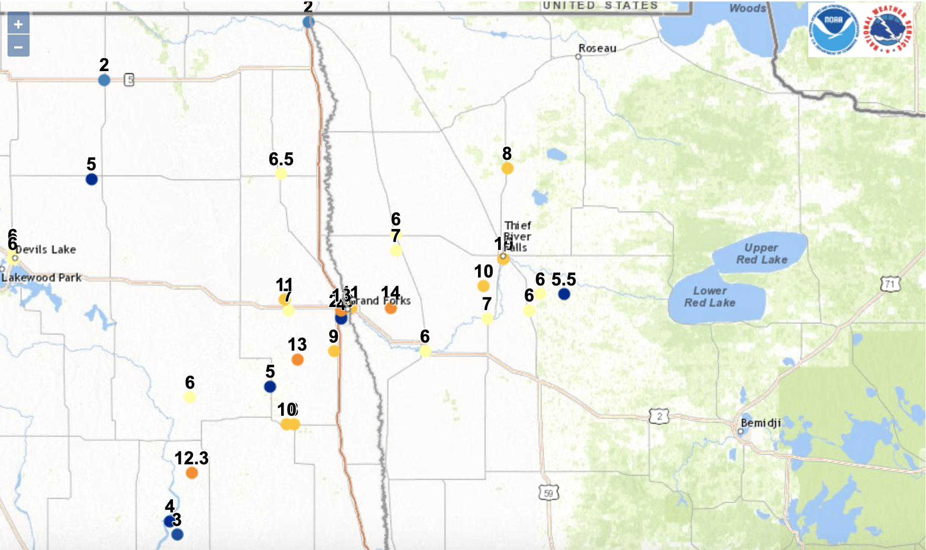
Meanwhile in northwest Minnesota, it’s been the snow that’s been piling up. Fourteen inches have fallen so far east of Grand Forks in Key West, Minnesota. Thief River Falls is up to 10 inches.
While the southern parts of Minnesota will largely be in the dry slot of the storm system Wednesday, northern Minnesota will see snow in the northwest and rain/snow in the northeast.
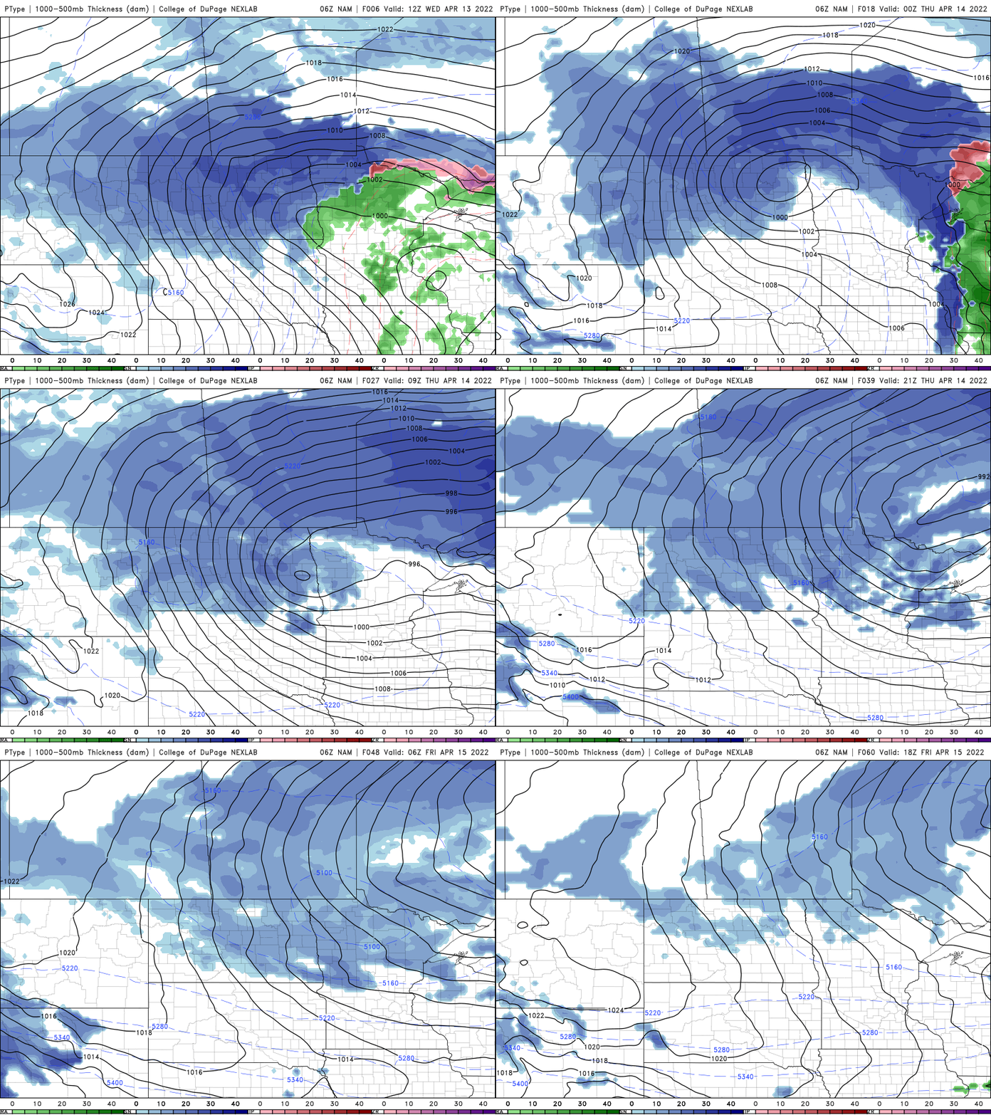
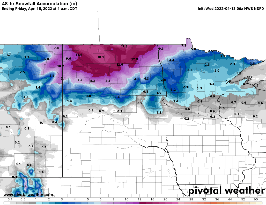
Several inches of additional snowfall can be expected in portions of northern Minnesota through early Friday.
Temperatures will slowly drop through the day Wednesday in the southern half of the state. Expect windy conditions to persist statewide as well.
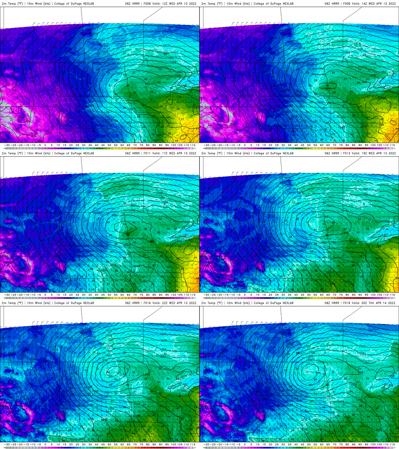
Thursday will be cold with highs mainly in the 30s statewide and snow showers will wrap around into central and southern Minnesota as well.
Turn Up Your Support
MPR News helps you turn down the noise and build shared understanding. Turn up your support for this public resource and keep trusted journalism accessible to all.

