
Cold and windy still Friday but generally drier
Winds will continue Friday along with well below normal temperatures
Go Deeper.
Create an account or log in to save stories.
Like this?
Thanks for liking this story! We have added it to a list of your favorite stories.


Our storm system finally starts to pull away Friday but it will still be very chilly and windy. Northeast Minnesota will see still see some lingering snow showers but the rest of us will be drier.
Cold lingers
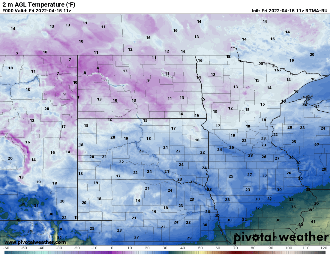
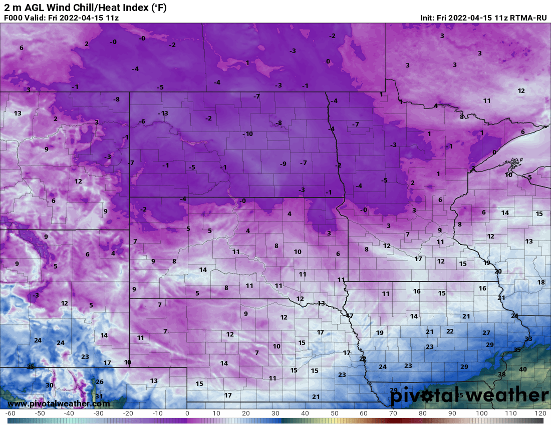
It is a frigid start by mid-April standards with temperatures in the teens and 20s. Wind chills are subzero even in northwest Minnesota!
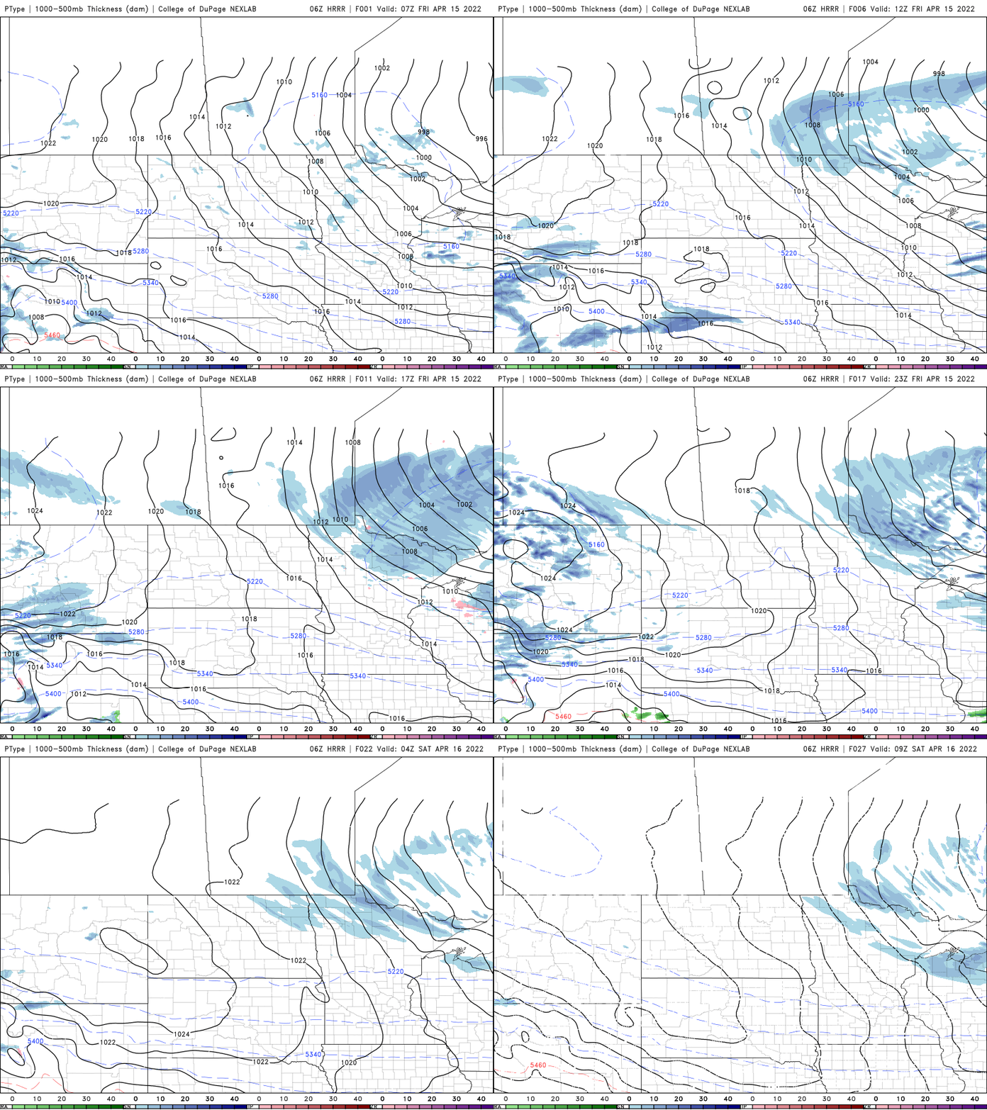
We’ll see an ever so slight improvement in our weather Friday; mainly fewer snow showers. Pop-up, instability snow showers will be confined to northeast Minnesota most of the day while most of the state dries out after the early morning.
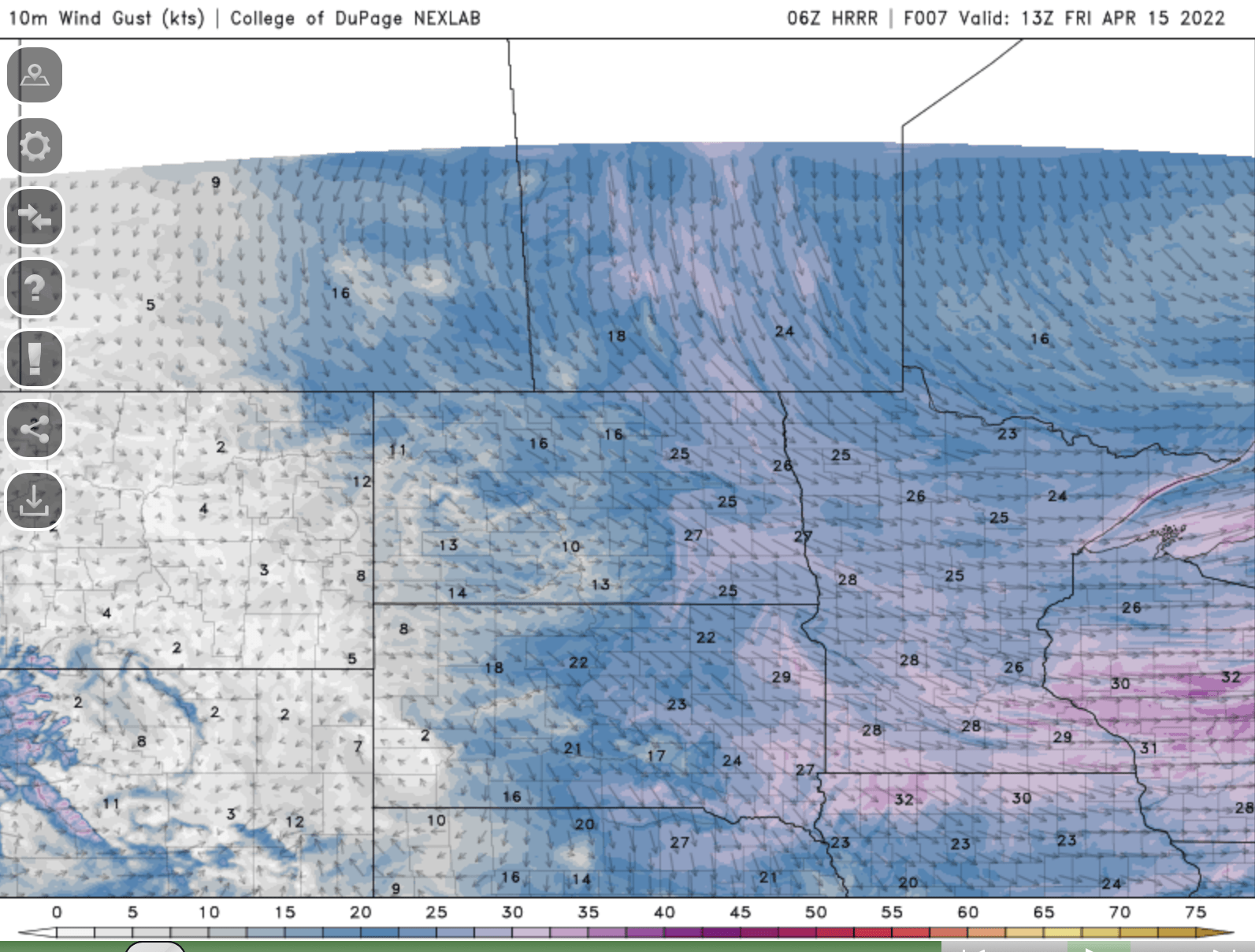
Winds will remain blustery Friday though not as intense as they were Thursday. They’ll still be at about 15-20 mph sustained speeds with gusts of 30-40 mph.
Turn Up Your Support
MPR News helps you turn down the noise and build shared understanding. Turn up your support for this public resource and keep trusted journalism accessible to all.
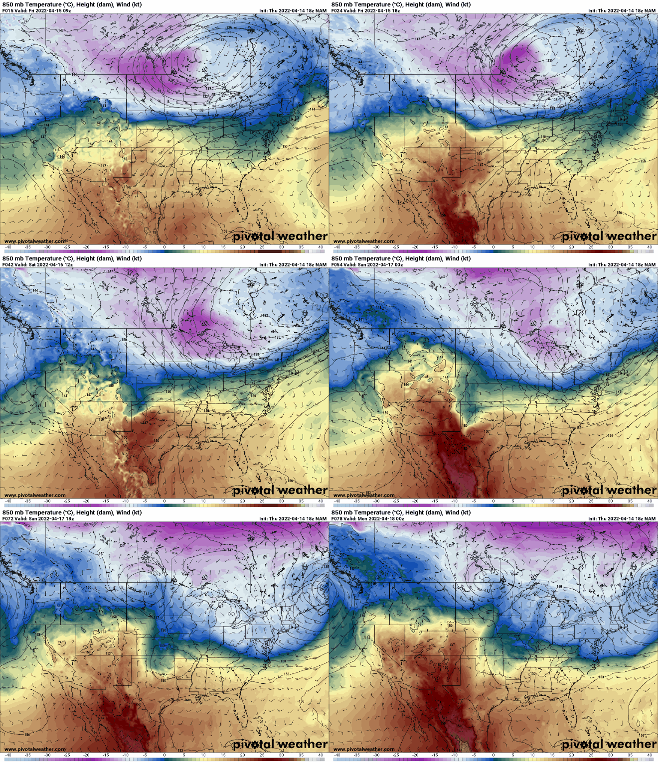
Temperatures will continue to be well below normal through early next week as cold air continues to flow in behind our storm system
Highs Friday will be mainly in the 30s with a few low 40s south and subfreezing north.

The weekend will continue to be chilly, though at least in the low to mid-40s. Our next disturbance comes in late Sunday bringing rain and snow showers with possible accumulations (especially north) overnight Sunday night.

The trend is then upward finally late next week!

