
Clouds linger Monday; brighter and warmer ahead
Temperatures remain below normal to start the week
Go Deeper.
Create an account or log in to save stories.
Like this?
Thanks for liking this story! We have added it to a list of your favorite stories.


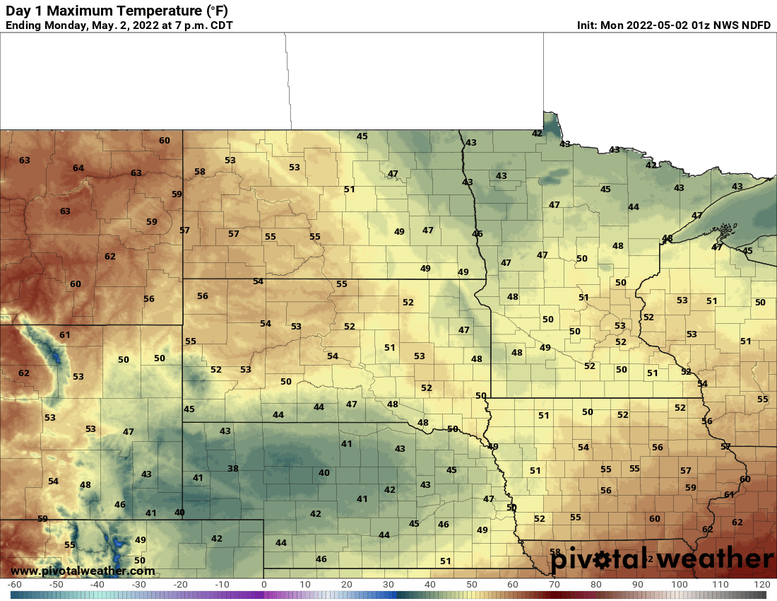
Cool, cloudy weather will linger for Monday but winds will be lighter. Sunshine gradually breaks out Tuesday with warmer temperatures through the week.
Clouds Monday; sunshine Tuesday
Believe it or not, Monday will likely be our last cool day — as in 10 or more degrees below normal — for some time. Lingering clouds will persist but winds will be lighter from the northwest.
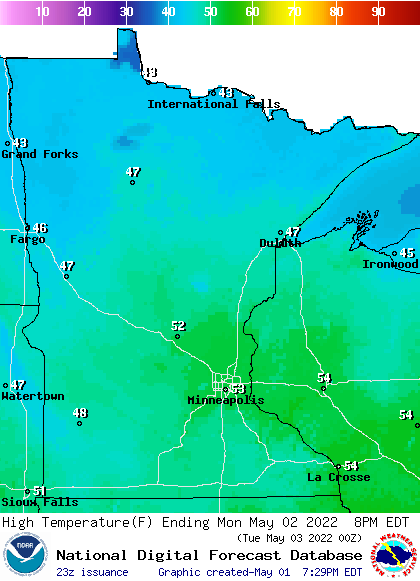
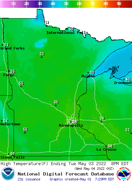
We should see clouds gradually decrease Tuesday morning making way for some midday and afternoon sunshine. That will help push temperatures to near 60 in southern Minnesota and 50s north. Temperatures will be a little cooler — in the 40s — right near Lake Superior (it’s that time of year!)
The big turnaround in temperatures
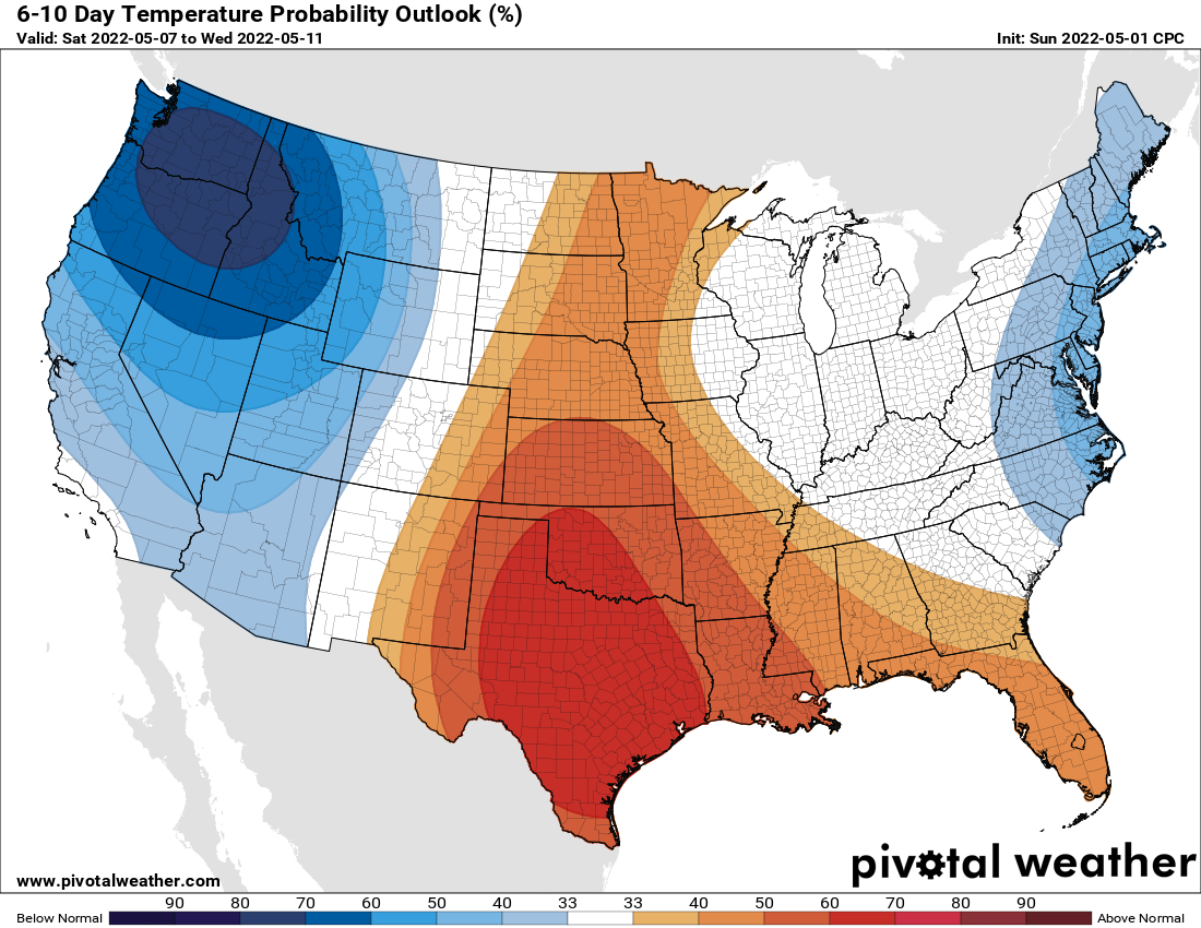
We really turn the corner on the persistent cold as temperatures remain near or above 60 after Tuesday for the southern third of Minnesota (including the Twin Cities). Temperatures normalize everywhere by the end of the week. Normal highs by Friday range from the mid-upper 60s south to near 60 along the international border and 50s up the north shore. We should be right on target by Friday and above even by the weekend into next week.
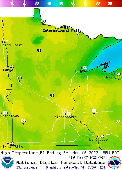
The outlook is actually above normal for a change from the weekend on into next week.
Turn Up Your Support
MPR News helps you turn down the noise and build shared understanding. Turn up your support for this public resource and keep trusted journalism accessible to all.

