Cooler air settles in for the weekend

A cool blast drops temperatures

temps
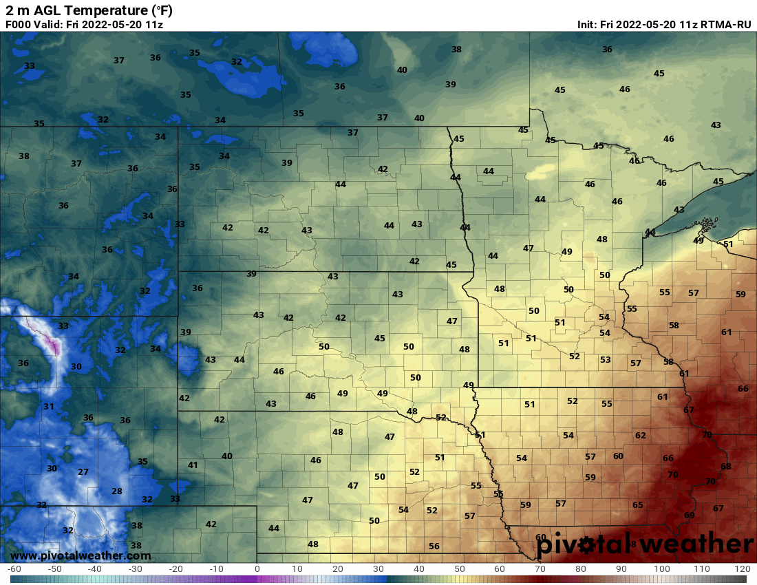
Temperatures early Friday morning
NOAA via pivotal weather

After a stormy Thursday it’ll be cooler Friday with lots of clouds and blustery northwest winds. That will set us up for a chilly weekend.

Storms produced large hail Thursday

The hail that came through the Twin Cities was just some of several severe reports Thursday.

SPC reports
Severe weather reports from Thursday
National Oceanic Atmospheric Administration's Storm Prediction Center

The hail coated lawns and roads for a period of time late Thursday afternoon as storms quickly developed in the west metro and moved east dropping up to golf ball size hail in North St. Paul and Baldwin, Wis., to name a few.

Cooler air flows in for the weekend

After the storms and basically two weeks of summer weather, we’re in for a weekend chill. Temperatures Friday will be in the 60s south and 50s north.

Create a More Connected Minnesota

MPR News is your trusted resource for the news you need. With your support, MPR News brings accessible, courageous journalism and authentic conversation to everyone - free of paywalls and barriers. Your gift makes a difference.

fri highs 6pm
Forecast high temperatures Friday
National Weather Service

Northwest winds will be blustery Friday as the chill sets in making it feel cooler.

winds FRI
Forecast wind gusts Friday
College of DuPage Weather

Saturday will bring even cooler temperatures with highs in the 40s north and 50s south.

sat highs 6pm
Forecast high temperatures Saturday
National Weather Service

Saturday night will bring frost for much of northern Minnesota. While not unusual in mid to late May there, it’s a stark contrast from the last two weeks of warmth.

Sun lows 6pm
Forecast low temperatures Saturday night into early Sunday
National Weather Service

Temperatures should slowly rebound next week in time for the holiday weekend.