Slow clearing Thursday; warmer this weekend
Clouds in the east, sun in the west Thursday
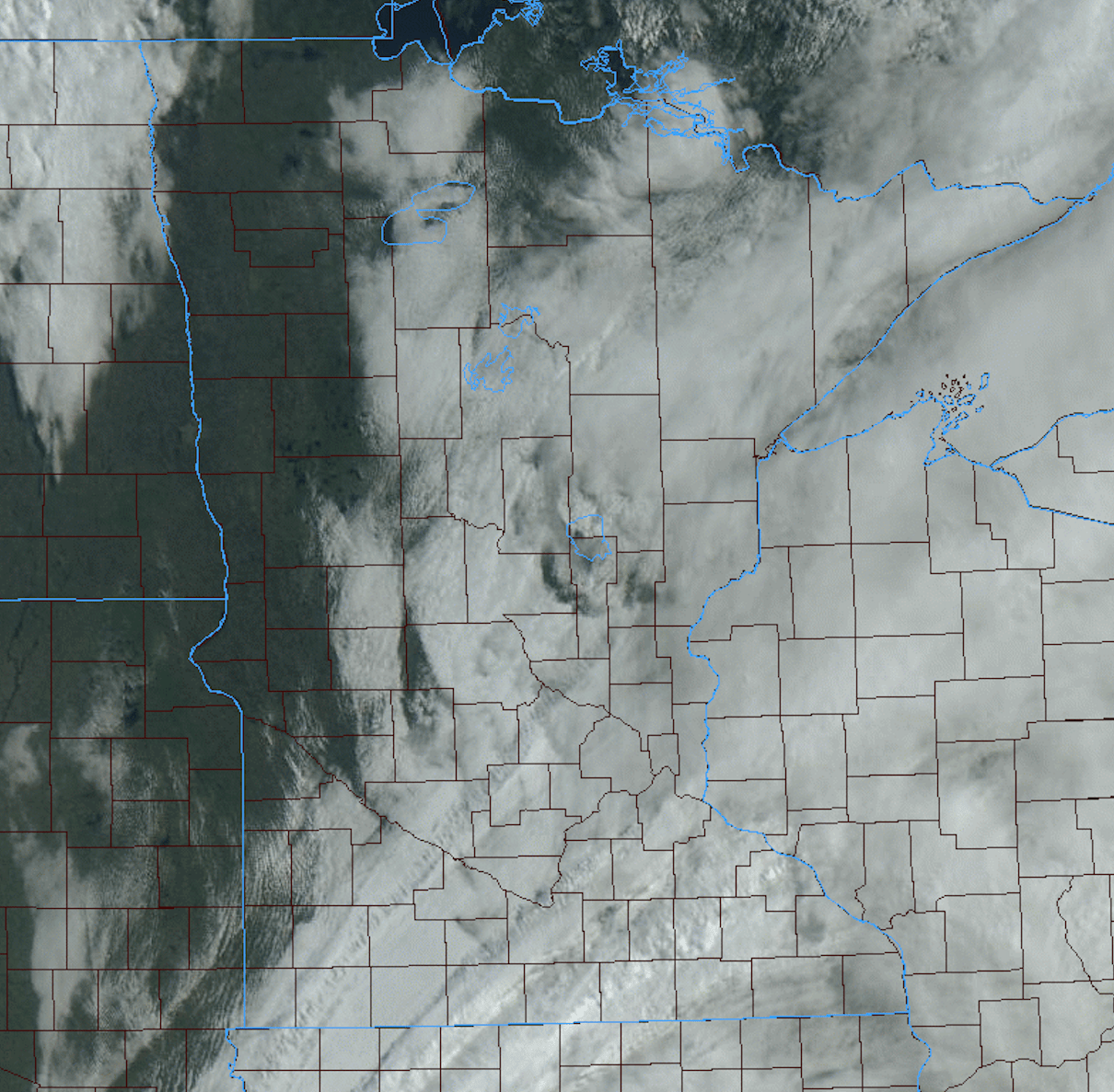
Low clouds will hang on most of the day in southeast Minnesota but the northwest will see sun. Everyone sees sun Friday with much warmer temperatures.
A state divided by clouds Thursday
Cloud cover will hang on much of the day in eastern and southeastern Minnesota keeping temperatures cooler. Northwestern Minnesota will see sun with temperatures in the low 70s for highs.
Skies will clear in the east overnight leading to some patchy fog in southeast Minnesota. We’ll see sunshine statewide Friday with temperatures jumping into the 70s for most.
Weekend: Warmer, even hot, with a few storms
The weekend will feel more like the fourth of July weekend with temperatures in the 80s, even near 90 by Memorial Day.
Create a More Connected Minnesota
MPR News is your trusted resource for the news you need. With your support, MPR News brings accessible, courageous journalism and authentic conversation to everyone - free of paywalls and barriers. Your gift makes a difference.
Of course, summer weather that includes some heat and humidity often includes at least the chance of storms. Dew points will be in the sticky 60s by Sunday and Monday.
An area of low pressure and nearly stationary frontal boundary will be the focus for storms over the weekend.
Most of the activity will be west the first half of the weekend but by late Sunday there’s a decent chance of scattered storms.
Some storms could be strong to severe. So, while having fun, stay storm-aware this weekend. The risk for severe weather is in the west Saturday.
The risk shifts to much of Minnesota Sunday.