Summery weekend! Dry Saturday afternoon; thunderstorms at times Sunday and Monday

Updated severe weather outlook
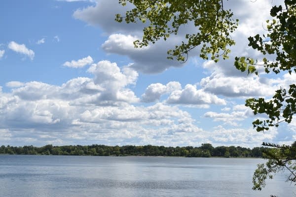
rt0908mplssky
A Minneapolis lake view from 2021
Ron Trenda/MPR News

Our morning showers and thunderstorms have shifted to the east. Most of Minnesota and western Wisconsin will have a rain-free Saturday afternoon. Computer models do show some scattered showers and thunderstorms lingering into Saturday afternoon in northeastern Minnesota and parts of far northwestern Wisconsin.

You can hear updated weather information for Minnesota and western Wisconsin on the Minnesota Public Radio News network, and you can see updated weather info on the MPR News live weather blog.

Summery weekend!

Our average Twin Cities high temperature is 73 degrees on May 28. Twin Cities metro area highs are forecast to reach the mid to upper 80s this Saturday. High temps will be in the 80s in roughly the southern half of Minnesota this afternoon, with mainly 70s in northwestern Minnesota and western Wisconsin. Northeastern Minnesota will have Saturday highs in the 60s, with some upper 50s near Lake Superior.

Create a More Connected Minnesota

MPR News is your trusted resource for the news you need. With your support, MPR News brings accessible, courageous journalism and authentic conversation to everyone - free of paywalls and barriers. Your gift makes a difference.

Highs in the 80s are expected Sunday in central and southern Minnesota plus most of western Wisconsin, with 70s in northwestern Minnesota and some 60s in northeastern Minnesota:

rt0529h7
Sunday forecast highs
National Weather Service

Metro area highs are forecast to reach the upper 80s on Sunday.

Dew points will be in the sticky 60s in many areas Sunday afternoon:

rt0529dw7
Sunday 1 p.m. forecast dew points
National Weather Service

Memorial Day highs will be in the 80s across most of Minnesota, with the Twin Cities and some points to the south and east reaching 90:

rt0530h7
Monday forecast highs
National Weather Service

There’ll be some 70s Monday afternoon in northwestern Minnesota and near Lake Superior.

Monday afternoon dew points will be in the sticky 60s in many areas:

rt0530dw7
Monday 1 p.m. forecast dew points
National Weather Service

Thunderstorm and severe weather chances

Scattered thunderstorms could spread across parts of Minnesota and western Wisconsin late Saturday night into early Sunday morning, with an isolated severe thunderstorm possible.

The NWS Storm Prediction Center shows a marginal risk of severe weather in the dark-green shaded area overnight Saturday night:

rt0528d1b
Severe weather outlook Saturday evening and overnight Saturday night
NWS Storm Prediction Center

“Tonight” in NWS terminology ends at 7 a.m. Sunday.

Thunderstorms redevelop Sunday afternoon in western Minnesota, and then spread eastward Sunday evening. Some of those storms could be severe. The NWS Storm Prediction Center shows an enhanced risk of severe weather Sunday afternoon and evening in the area labeled “3”, with a slight risk of severe weather in the yellow-shaded area that is labeled “2”:

rt0528d2
Severe weather outlook Sunday and Sunday night
NWS Storm Prediction Center

Enhanced risk means that numerous severe thunderstorms are possible, slight risk means that scattered severe thunderstorms are possible:

rt0328risk
Severe weather risk categories
NWS Storm Prediction Center

In the Twin Cities metro area, it looks like the chance of strong to severe thunderstorms will be mainly Sunday evening and overnight Sunday night. Check forecast updates.

Periods of thunderstorms are likely on Memorial Day, with the best chances of strong to severe thunderstorms during the afternoon and evening hours. The Storm Prediction Center shows an enhanced risk of severe weather Monday and Monday night for a wide swath of Minnesota, including parts of the west metro:

rt0528d3
Severe weather outlook Monday and Monday night
NWS Storm Prediction Center

You’ll want to stay weather aware on Sunday and Monday.

Cooler after Monday

Our summery temps retreat after Monday. Twin Cities metro area highs are projected to be in the lower 70s on Tuesday, followed by upper 60s Wednesday, then lower 70s Thursday and Friday. We could see some scattered showers and thunderstorms on Tuesday.

Programming note

You can hear my live weather updates on MPR News at 7:35 a.m., 9:35 a.m. and 4:39 p.m. each Saturday and Sunday.