
Pleasant stretch of days ahead
Cooler Tuesday night; winds subside

Go Deeper.
Create an account or log in to save stories.
Like this?
Thanks for liking this story! We have added it to a list of your favorite stories.


The cooler and more stable air continues to settle in. Temperatures overnight Tuesday will be in the 40s for most, to low 50s in the Twin Cities urban heat island. Winds will also lighten up. Sunshine prevails on Wednesday.
Blustery winds usher in cooler air
The upper level low which helped spawn the severe storms Monday has brought cool air, wind and clouds Tuesday and will continue to spin to the north of Minnesota in Manitoba and Ontario through the week. This will keep conditions cooler than normal the remainder of the week.
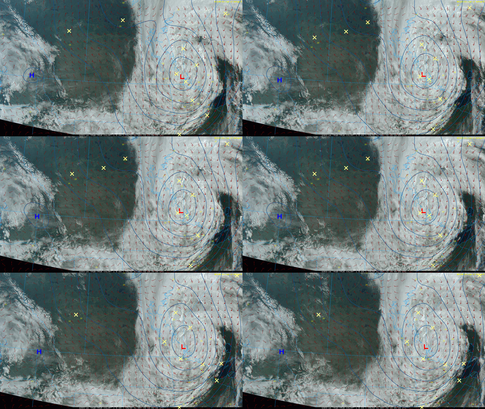
More stable weather blew in on those blustery winds today as well as cooler air. Expect a cool night tonight as winds subside back under 10 mph late under clearing skies.

Abundant sunshine Wednesday through Friday
Expect cooler than normal conditions right through the weekend. Wednesday will bring lots of sunshine but much of Minnesota will struggle to reach 70.

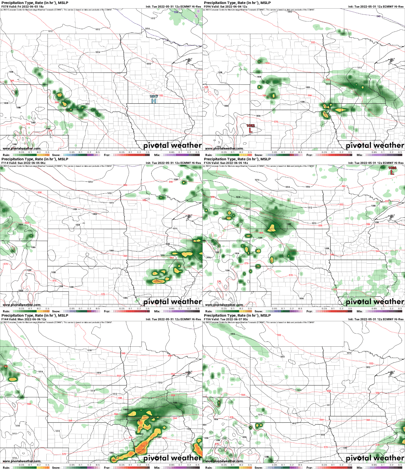
The next chance of some showers comes Saturday into Saturday night. At this point it looks like any energy conducive for even garden variety thunderstorms will stay south.
Turn Up Your Support
MPR News helps you turn down the noise and build shared understanding. Turn up your support for this public resource and keep trusted journalism accessible to all.

