
Beautiful, cool Friday; rain for some Saturday
Lighter winds, continued cooler then normal

Go Deeper.
Create an account or log in to save stories.
Like this?
Thanks for liking this story! We have added it to a list of your favorite stories.


It’ll be a gorgeous Friday but cooler than normal. Rain showers move into southwest Minnesota by late evening and spread east overnight Friday night.
A sun-filled Friday
It was a chilly start to the day for the second time this week in northern Minnesota. Cook dropped to 37 degrees, International Falls, Ely, Hibbing and Grand Marais all slipped to 39.
We’ll see lots of sunshine Friday for most of the state but with cooler than normal temperatures.
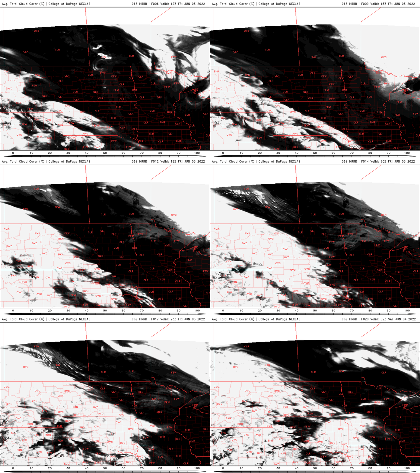
Winds will be lighter but still a bit breezy in northeastern Minnesota.
Turn Up Your Support
MPR News helps you turn down the noise and build shared understanding. Turn up your support for this public resource and keep trusted journalism accessible to all.

Rain moves in for southern Minnesota
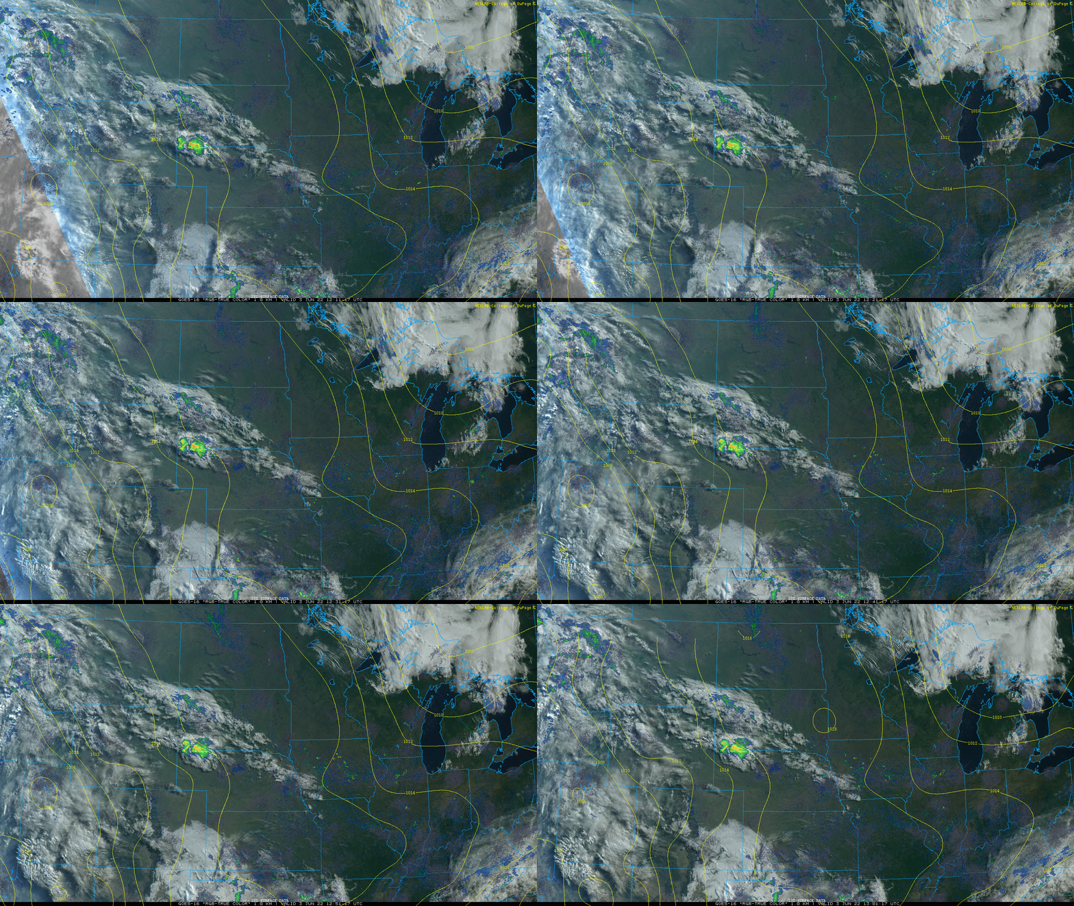
While clear across most of Minnesota Friday we can already see the clouds gathering with a few showers into western South Dakota. That’s the area moving east, bringing rain showers Friday night.
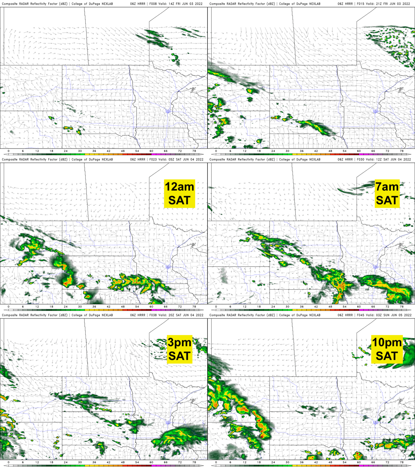
Showers will move into southwestern Minnesota by late Friday evening and stay mainly in the southern most counties of Minnesota Friday night. On Saturday, those showers will attempt to move a bit northward but most rain showers will be confined to the southern half of the state.
Rain moves in for southern Minnesota
Temperatures will remain cooler than normal much of next week. Normal high temperatures for this early part of June range from 68 in Duluth to 71 in International Falls and 76 in the Twin Cities and much of southern Minnesota. We’ll see readings remain a good 5 to 7 degrees cooler than that.
The upper-level pattern is oriented in a way where we have a big high pressure ridge of warmth and dry weather in the west-southwest and that is helping keep us in a northwest flow with the jet stream nearby but Minnesota remains on the cool side of it.

Some models break down this pattern and warm us up significantly in the third week of June but others do not. We’ll just have to wait and see.

