Clouds, showers Tuesday in southern Minnesota; heating up next week
Isolated shower, more clouds Tuesday

Go Deeper.
Create an account or log in to save stories.
Like this?
Thanks for liking this story! We have added it to a list of your favorite stories.


Most showers and isolated thunderstorms will be confined to southern Minnesota Tuesday into Tuesday night. We’ll have more clouds south and temperatures will be a few degrees cooler than Monday. Northern Minnesota will see more sunshine.
Somewhat unsettled into Tuesday night
We’ll have a cloudier day Tuesday in southern Minnesota with a few showers. The most numerous showers will be across far southern Minnesota.
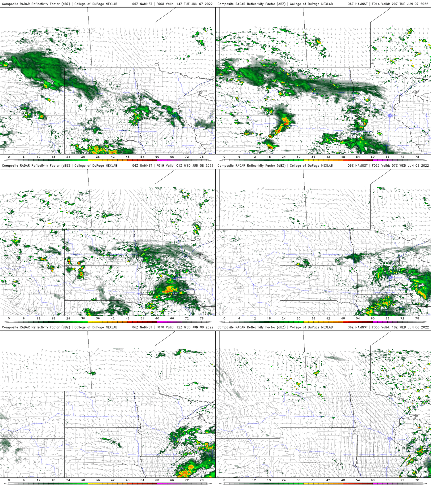
We could even see a few thunderstorms pop up in the southern most counties of Minnesota late Tuesday afternoon. There’s a marginal risk (level 1 out of 5) for severe weather.

The 36-hour total precipitation forecast shows that most measurable rainfall remains south. That doesn’t mean we won’t see showers in the Twin Cities, just that they’ll be brief and insignificant most likely.
Turn Up Your Support
MPR News helps you turn down the noise and build shared understanding. Turn up your support for this public resource and keep trusted journalism accessible to all.
High temperatures Tuesday will be a bit cooler with more clouds around though northern Minnesota will have more sun and highs near 70 degrees away from Lake Superior.

Warming up next week
Wednesday will again be a little warmer, in the mid 70s as we see decreasing clouds and a mainly dry day.

We start to see a real shift in our pattern this weekend into next week with more consistent summer weather. Highs should top 80 degrees by Sunday into next week.

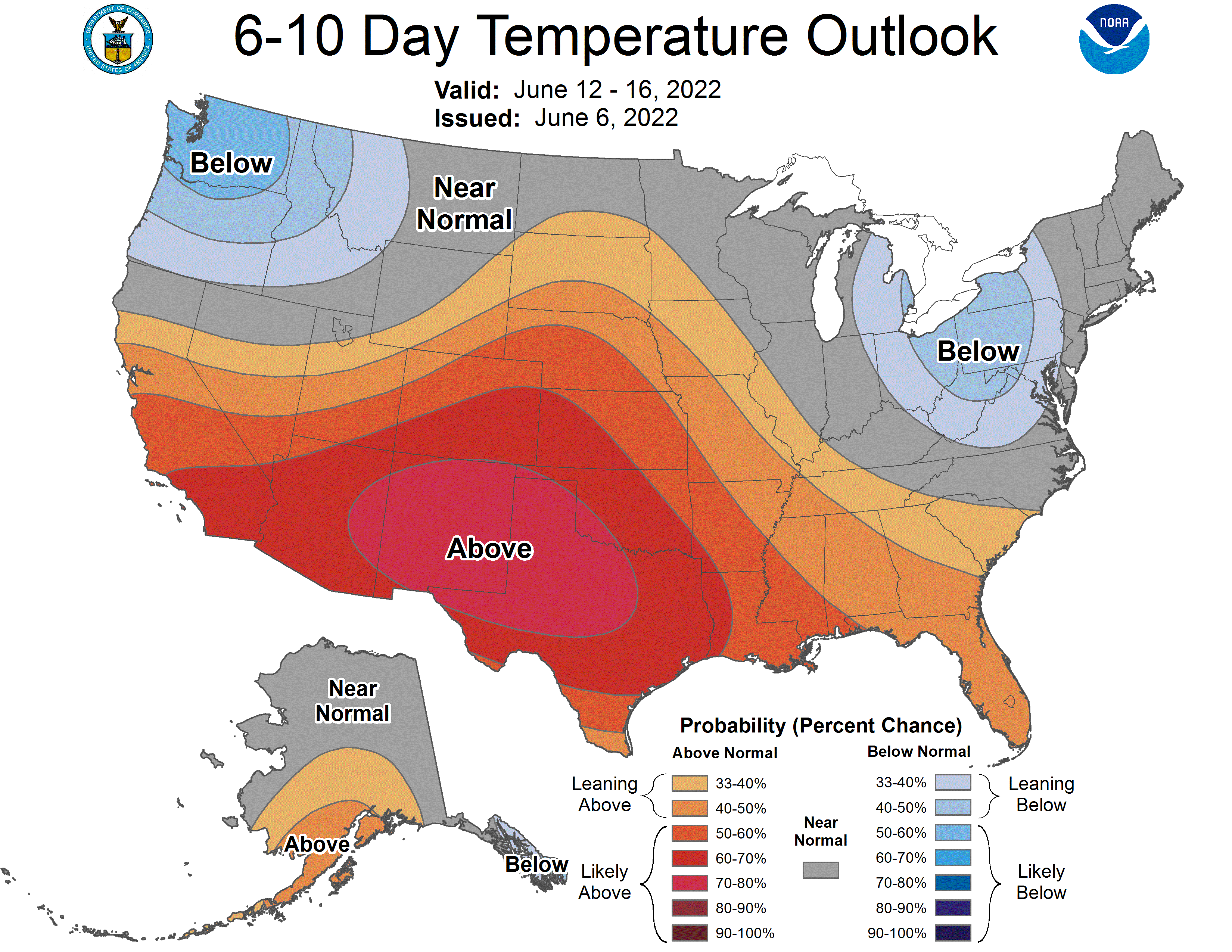
In fact the six- to 10-day outlook shows this warming trend at least in the central and southern U.S. I do think we’ll see above-normal temperatures with even the chance of 90 degrees in southern Minnesota.