
Monday storms clear; heat builds in
Hot in southwest Minnesota already

Go Deeper.
Create an account or log in to save stories.
Like this?
Thanks for liking this story! We have added it to a list of your favorite stories.


Left over showers and thunder will move out Monday morning and the heat will build into southwest Minnesota. The heat spreads across the rest of central and southern Minnesota Tuesday.
Showers and thunderstorms that are left from Sunday night in the Dakotas will continue to spread east Monday morning and exit by midday.
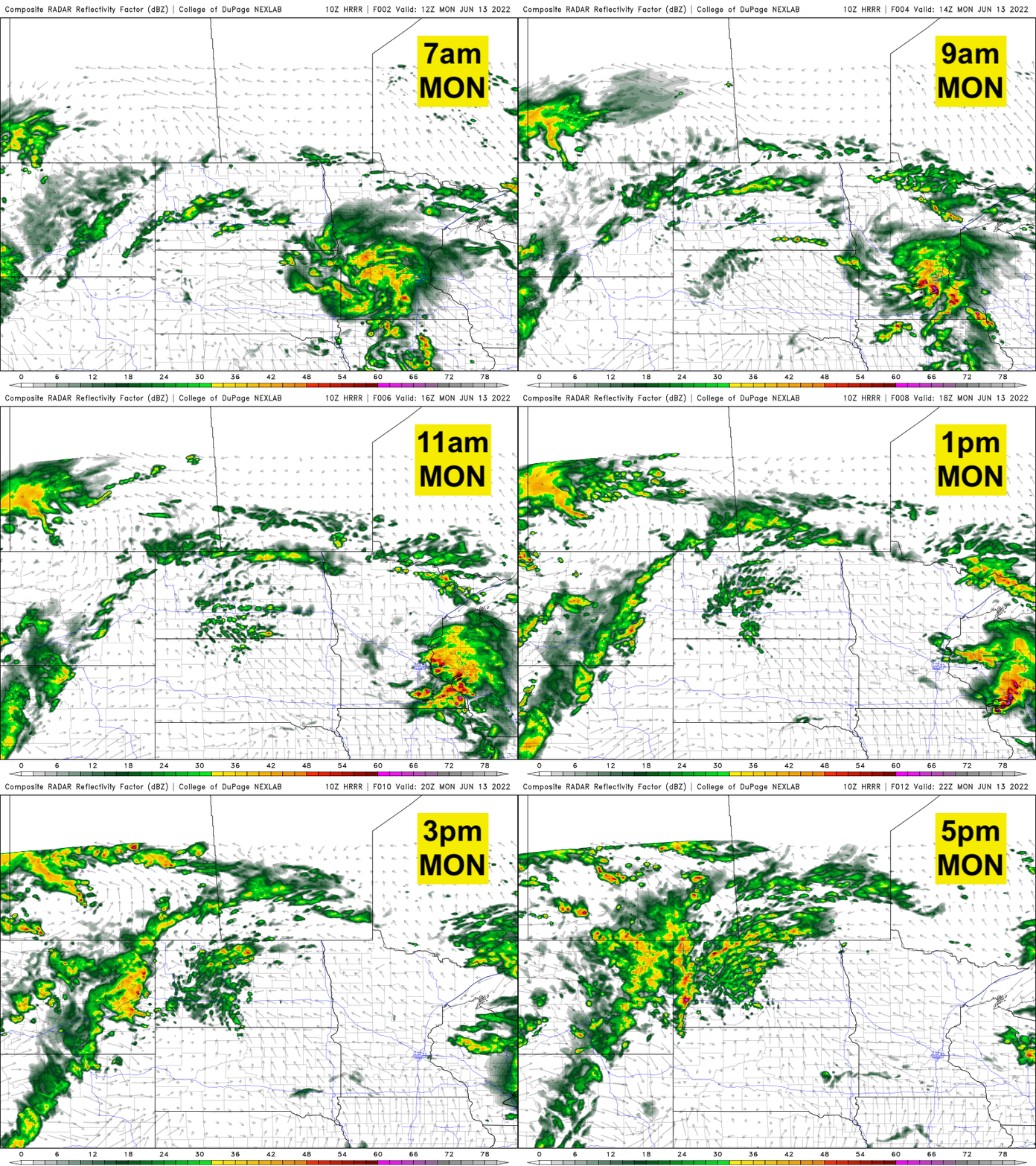
Clouds will largely keep temperatures from being very hot in the Twin Cities and central Minnesota yet Monday, but southwest Minnesota will see heat and humidity already.

The heat index will reach triple digits in southwest Minnesota Monday afternoon.
Turn Up Your Support
MPR News helps you turn down the noise and build shared understanding. Turn up your support for this public resource and keep trusted journalism accessible to all.

Heat spreads east with more heat this weekend
A heat advisory is in effect Monday afternoon for the southern half of Minnesota into western Wisconsin for Tuesday. The Twin Cities area is under an excessive heat warning for Tuesday.

The heat index will be in the triple digits for many spots Tuesday afternoon, including the Twin Cities where it could get as high as 103.

Actual air temperatures will warm into the mid to upper 90s.

The heat will break for Wednesday through Friday with thunderstorms possible Wednesday.
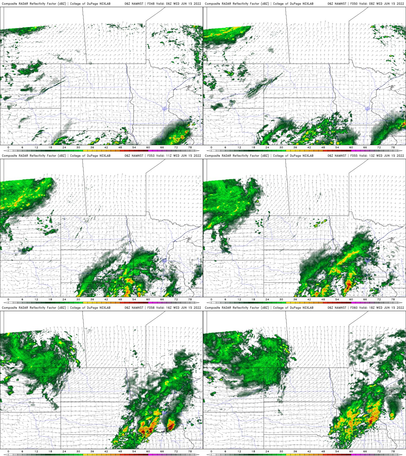
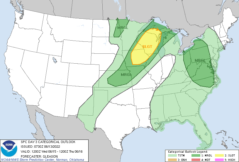
Severe weather is possible Wednesday in southeast Minnesota into western Wisconsin.
Highs will mainly be in the 80s and 70s Wednesday through Friday, but more 90s build in for the weekend for southern Minnesota and that could make for a string of hot days.

