
More thunderstorms possible Wednesday, hot this weekend
Cooler, cloudier Wednesday, sun returns Thursday

Go Deeper.
Create an account or log in to save stories.
Like this?
Thanks for liking this story! We have added it to a list of your favorite stories.


We have scattered showers Wednesday with more storms possible east and southeast of the Twin Cities. Some of those could be severe later Wednesday. Sunshine returns Thursday and more heat is back for the weekend.
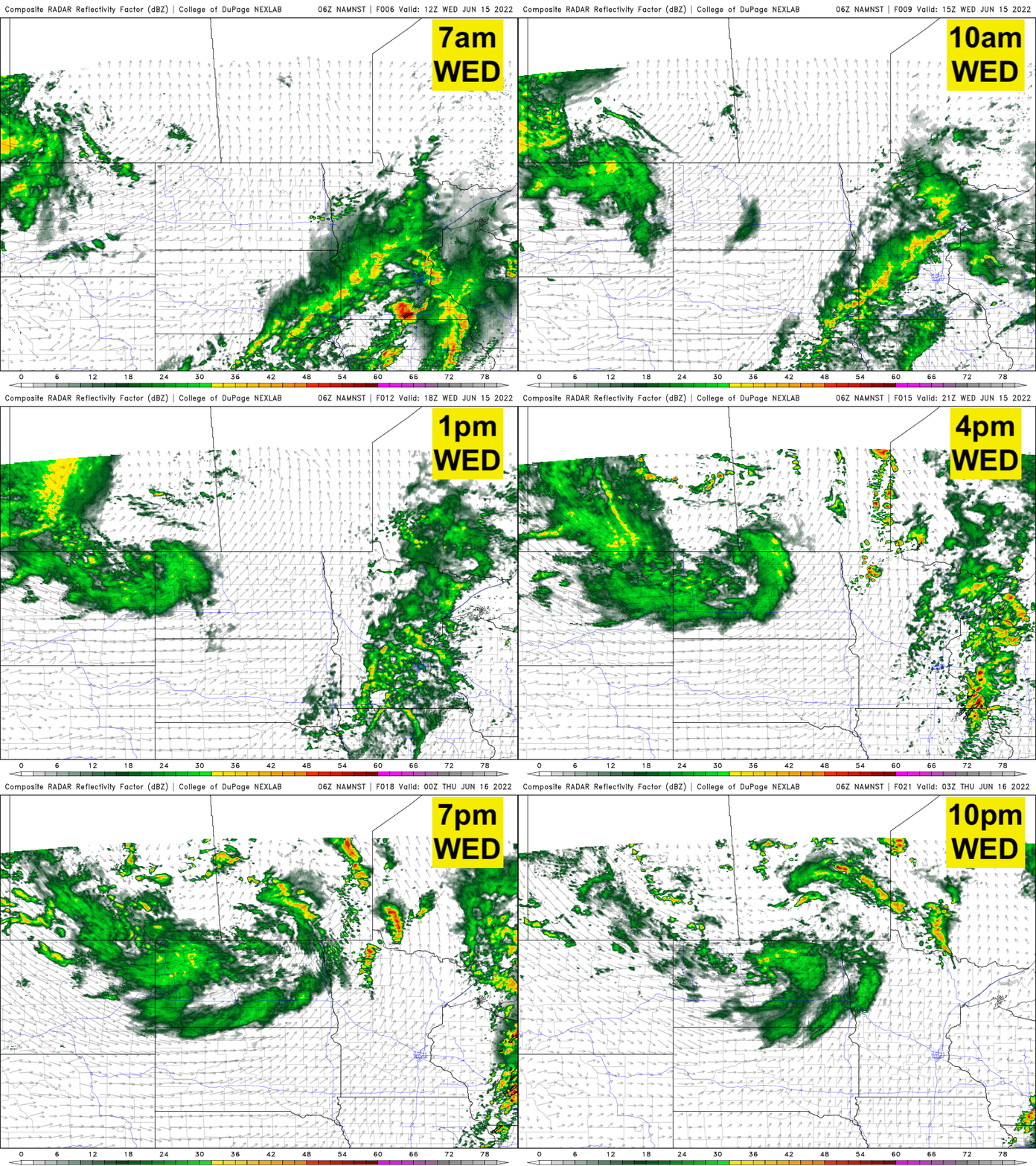
There’s an enhanced risk (level three out of five) of severe weather for far southeast Minnesota into Wisconsin from Rochester into central Wisconsin. Some storms with damaging winds, large hail and even isolated tornadoes are possible in this area late Wednesday afternoon into the evening.
It’ll be cooler Wednesday thanks to the clouds and showers, but Thursday will bring a return to sunshine. Mainly clear skies for many will persist from Thursday into the weekend.
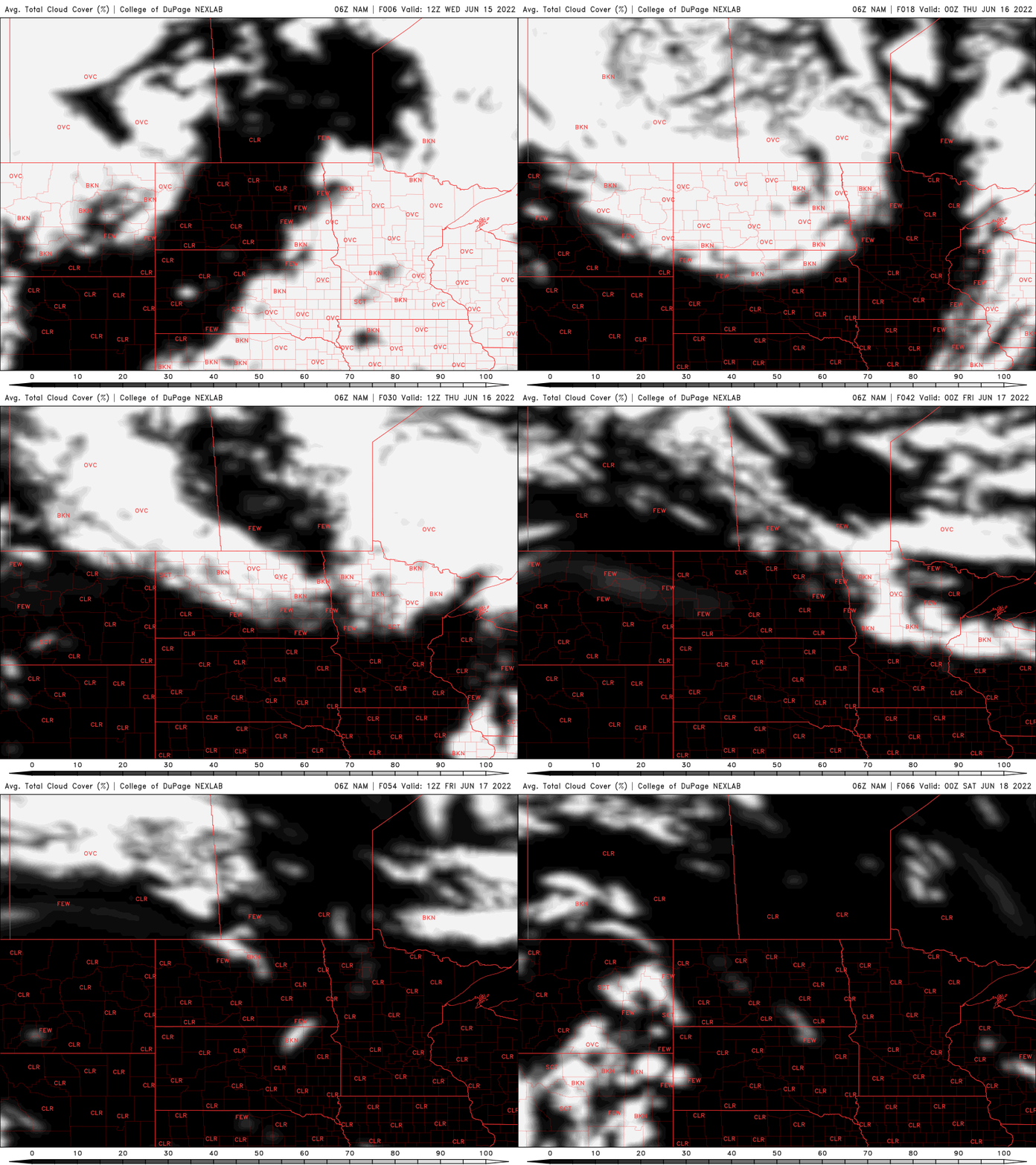
Highs Thursday and Friday will be in the 80s in southern Minnesota and 70s north — still above normal but cooler than Tuesday.
Turn Up Your Support
MPR News helps you turn down the noise and build shared understanding. Turn up your support for this public resource and keep trusted journalism accessible to all.

It will also be rather windy Thursday with wind speeds of 15 to 25 mph from the west and gusts of 35 to 45 mph.

More heat for the weekend into early next week
The heat dome, while temporarily compressing to the south, will build back in quickly this weekend into early next week bringing even hotter conditions potentially to southern Minnesota.
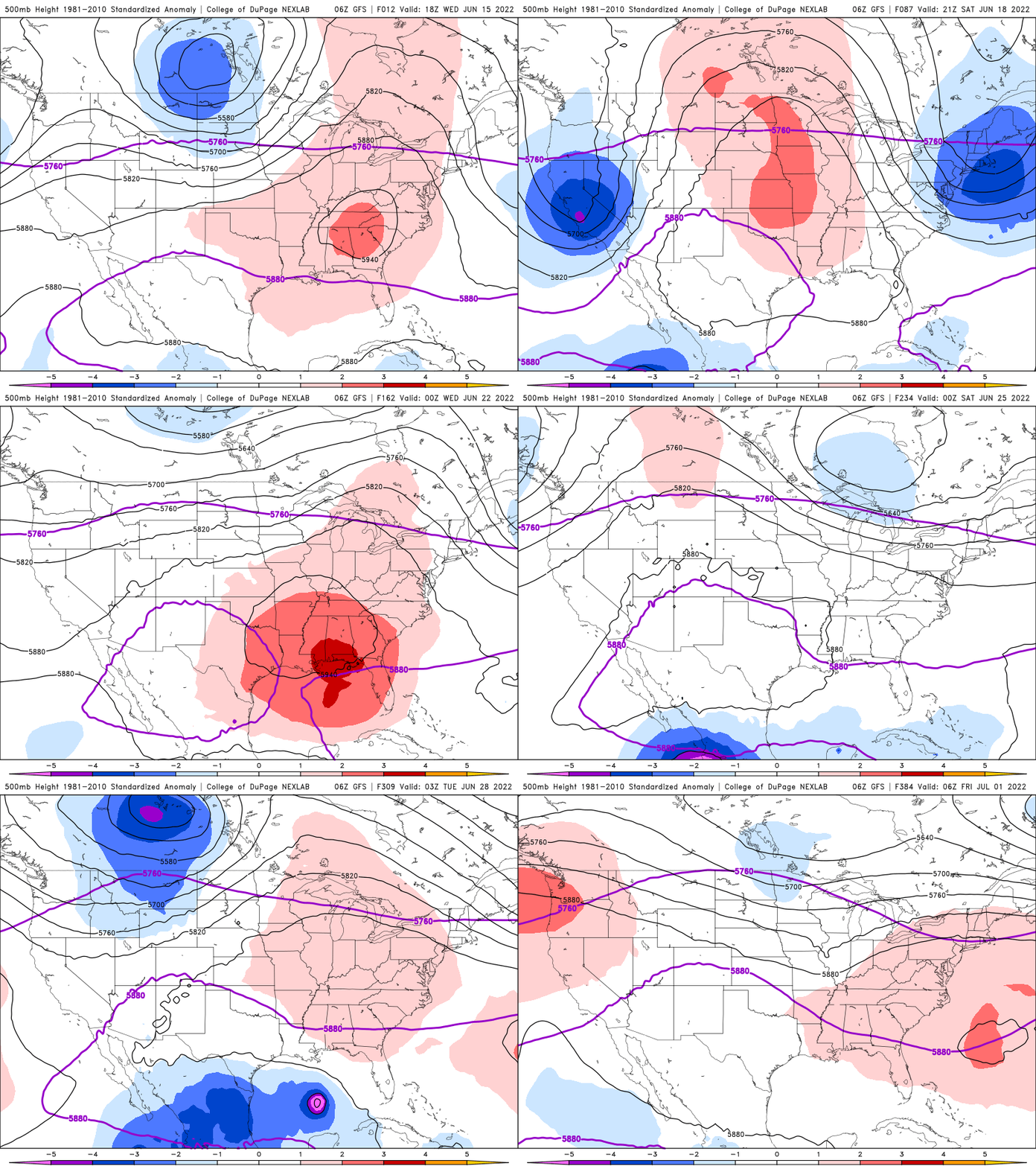
Triple-digit temperatures are possible in western Minnesota Sunday:

That area of extreme heat will shift east Monday and it’s possible, even in the Twin Cities, to hit 100 on Monday afternoon.


