Less humid Tuesday, cooler Wednesday; heat's back Thursday
Still hot Tuesday but with falling dew points

Go Deeper.
Create an account or log in to save stories.
Like this?
Thanks for liking this story! We have added it to a list of your favorite stories.


While it will still be very warm Tuesday, the dew points will drop as a west breeze brings in much more comfortable air. Wednesday will be cooler before it’s hotter again Thursday.
Sunshine, lower dew points
Northern and western Minnesota had an active Monday evening and overnight with numerous reports of high wind and wind damage along with large hail. Mallory, Minn., just east of Grand Forks, N.D., recorded a 91 mph wind gust.

The storms came on the heels of record-setting temperatures Monday.
The Twin Cities topped out at 101 degrees, the area’s hottest day in 10 years. It broke the record for the date, which was 98 degrees set back in 1933. We also set a record warm morning low at 79 early Monday morning. St. Cloud also topped out at 101, breaking a record.
Turn Up Your Support
MPR News helps you turn down the noise and build shared understanding. Turn up your support for this public resource and keep trusted journalism accessible to all.
Tuesday will bring partly cloudy skies with temperatures still near 90 for much of southeastern Minnesota, including the Twin Cities. Dew points will drop through the day Tuesday and remain comfortable into Wednesday before becoming humid again, especially by Friday.
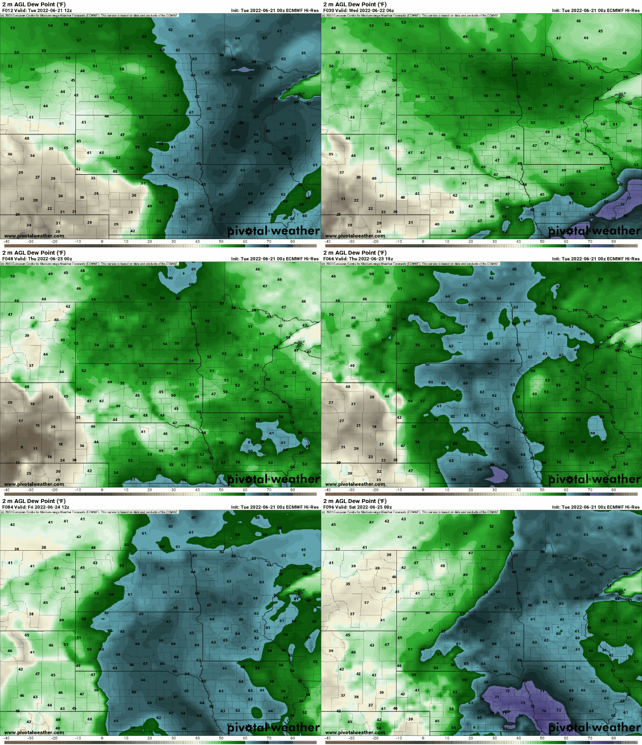
Wednesday will be much more pleasant with highs mainly in the 80s south, 70s north.

90s return with sporadic storms
Temperatures heat up again Thursday and Friday with much of southern Minnesota seeing highs approaching or surpassing 90 degrees.

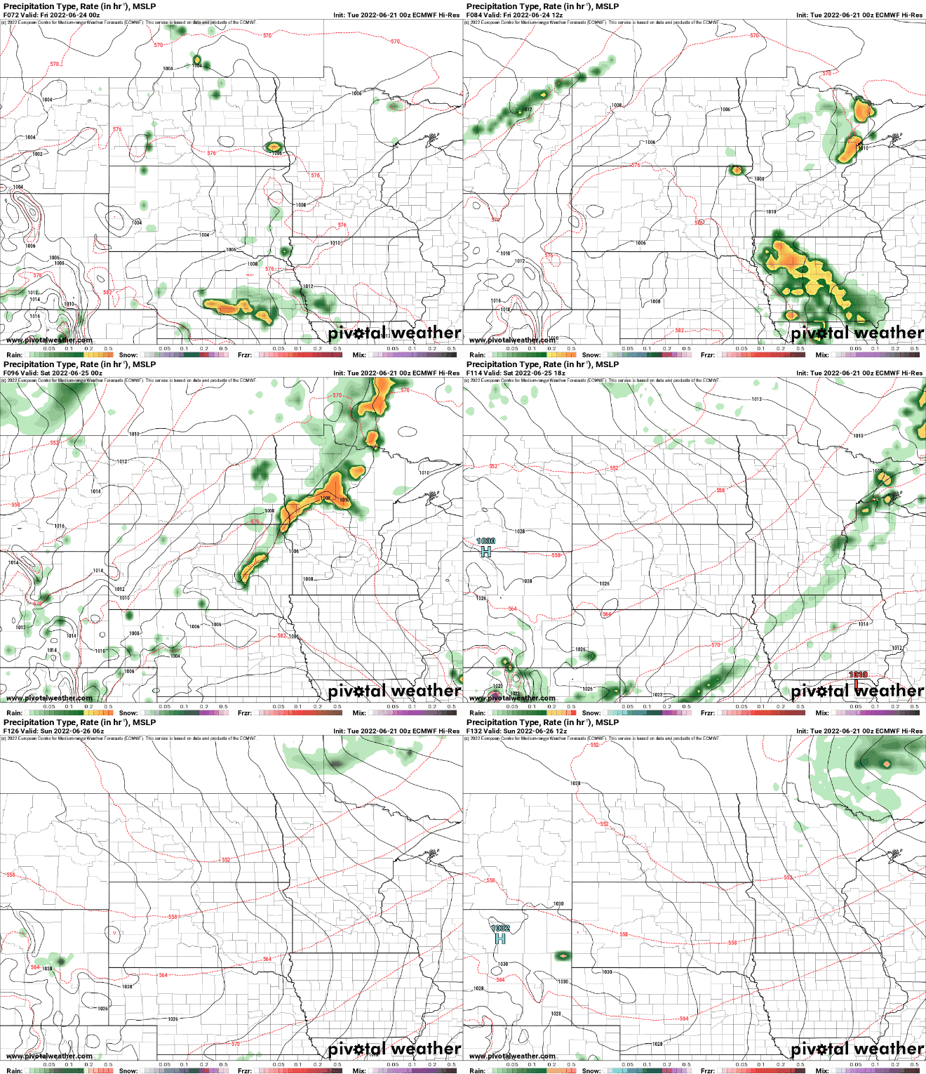
We’ll also see the chance of some at least sporadic thunderstorms Thursday night into Saturday across portions of Minnesota.