
Nice Wednesday; hotter Thursday with a few storms ahead
Lower dew points Wednesday but increasing Thursday

Go Deeper.
Create an account or log in to save stories.
Like this?
Thanks for liking this story! We have added it to a list of your favorite stories.


Enjoy a cooler, but still warm Wednesday with comfortable dry air in place. 90 degrees returns to southern Minnesota Thursday with increasing humidity. The chance of some thunderstorms increases also Thursday night into Saturday.
Nice Wednesday but dew points creep up again Thursday
Wednesday will be nearly picture perfect with lots of sunshine and more comfortable conditions. High temperatures will be in the 80s south and 70s north. Dew points will mainly remain in the 50s. Those dew points will start to creep during the day Thursday into especially Friday.
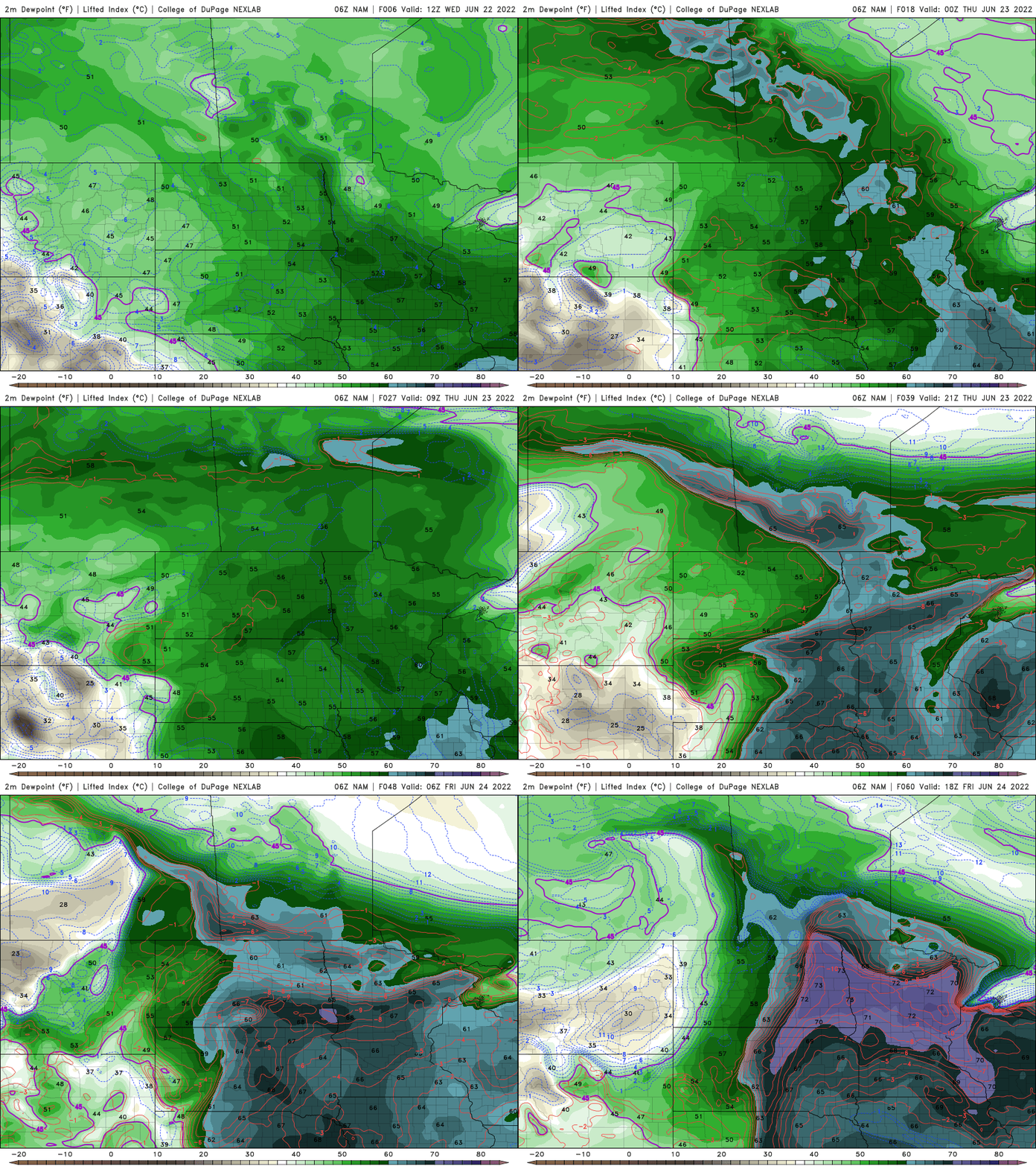
Hotter Thursday with some storm chances ahead
Along with the dew points increasing will be the return of some heat Thursday and Friday. It will not be as hot as Monday, but it will get uncomfortable again.

With the increased moisture and a cool front moving through Minnesota late Friday into Saturday, the chance of some thunderstorms will increase.
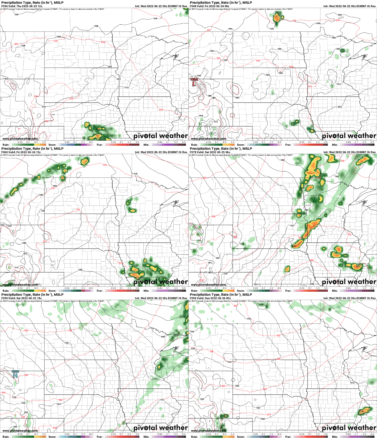
Northern Minnesota looks most likely to see any precipitation of significance through early Saturday. The line may fizzle out as it moves farther south and east.

Behind the front will come a stretch of cooler temperatures. Sunday likely will remain in the 70s for most of the state.

The 6 to 10 day outlook calls for slightly below normal temperatures for early to midweek next week but there are hints of 90 returning by the end of next week.

Turn Up Your Support
MPR News helps you turn down the noise and build shared understanding. Turn up your support for this public resource and keep trusted journalism accessible to all.

