
Humid with thunderstorms possible Thursday
Spotty showers and thunder develop

Go Deeper.
Create an account or log in to save stories.
Like this?
Thanks for liking this story! We have added it to a list of your favorite stories.


Humid air and a frontal boundary will be the focus for some pop up showers and thunderstorms midday Thursday into the afternoon and evening mainly across southern and western Minnesota.
Showers, thunder possible Thursday
It will be a humid day across southern Minnesota Thursday. Dew points will be well into the 60s and even low 70s at times.

All that moisture combined with a frontal boundary draped across Minnesota and a disturbance moving through aloft will touch off some spotty afternoon and evening showers and thunderstorms.
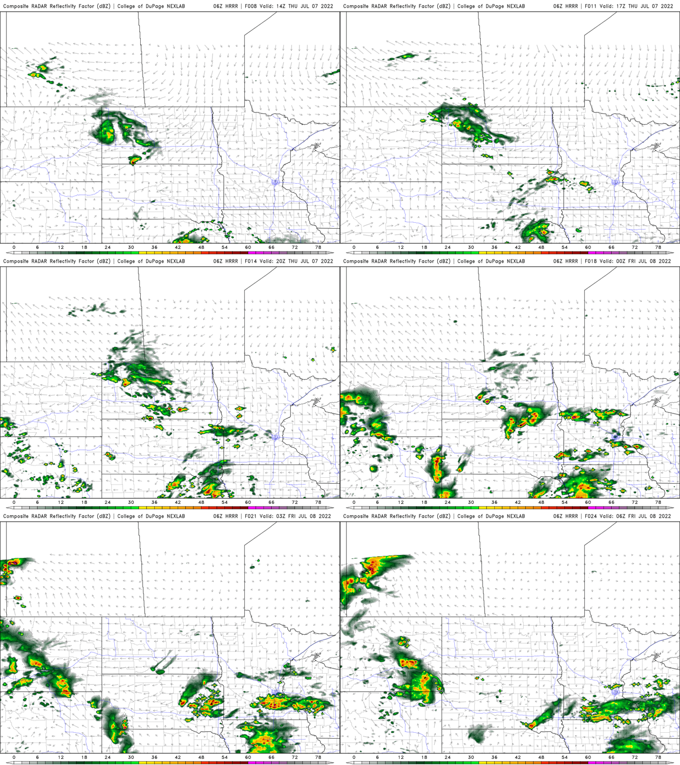
Because winds aloft and at the surface will be rather light, any showers that develop will be slow moving and dump some high rainfall amounts.
Turn Up Your Support
MPR News helps you turn down the noise and build shared understanding. Turn up your support for this public resource and keep trusted journalism accessible to all.
Unfortunately the rainfall won’t be widespread for those that need rain. Wind speeds at about 10,000 feet up will be under 10 mph across most of southern Minnesota late Thursday.

Humid and occasionally hot
Temperatures will be pretty seasonable (mid-80s south, 70s north) over the next several days. Highs Thursday will be a little warmer than Wednesday’s.

The real hot stuff continues to be compressed a bit into the southern plains and will start to move west and build in Minnesota’s direction by later next week. The models have been delaying this heat, so there’s still a question of precise timing.
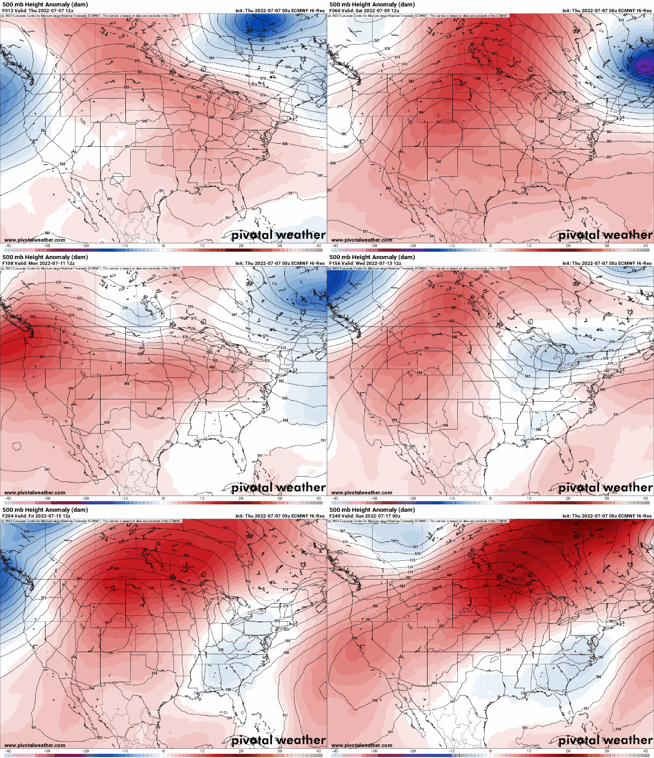
High temperatures by Friday of next week could be pretty toasty once again, well into the 90s for some.


