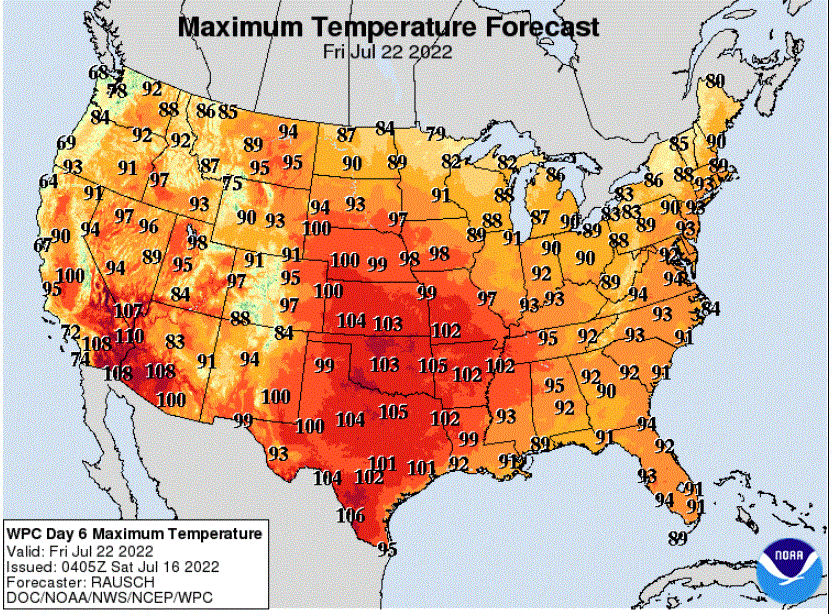
Very warm, muggy weekend; widely scattered showers and storms Saturday
Go Deeper.
Create an account or log in to save stories.
Like this?
Thanks for liking this story! We have added it to a list of your favorite stories.


Morning fog over mainly eastern Minnesota has been lifting to give way to partly sunny skies.
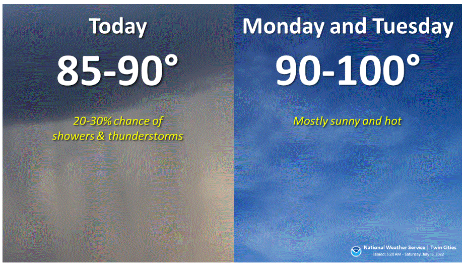
Heat and humidity will stay with us this weekend. Scattered showers will pop as Saturday progresses. Monday and Tuesday will be the hottest days. Here is a quick look at the outlook for the greater Twin Cities area:
Very warm and muggy Saturday, with scattered storms
Saturday will indeed be warm and muggy. High temperatures will be in the 80s statewide except for much cooler near Lake Superior. The Twin Cities should reach around 89 if enough sunshine breaks through the clouds. You will feel those dew points in the upper 60s.
Turn Up Your Support
MPR News helps you turn down the noise and build shared understanding. Turn up your support for this public resource and keep trusted journalism accessible to all.
Scattered showers from North Dakota have spread well into northwestern Minnesota.

Showers and some thunderstorms will pop up with the heating of the day. Their locations will be difficult to predict as there is no single meteorological feature driving them. In general, coverage will increase slowly as Saturday advances toward evening. The general Twin Cities area will probably see isolated showers and maybe be a thunderstorm or two beginning late Saturday afternoon or early evening.
Hot Sunday
Sunday will be toasty. Expect widespread high temperatures from the mid 80s to low 90s, but cooler near Lake Superior again. The Twin Cities should get very close to 90.
Hottest Monday and Tuesday
Monday and Tuesday look like scorchers. Dry skies and July sun will do their job. High temperatures are likely to range mainly from the upper 80s to mid 90s, but western Minnesota could easily flirt with 100 degrees, especially on Monday. Twin Cities highs should be in the mid 90s both days.
Strong storms possible Monday night-Tuesday
A meteorological ripple from the northwest will kick off strong thunderstorms beginning Monday night in northwest Minnesota. Some storms could become severe. The Storm Prediction Center has posted a slight (yellow; level 2 of 5) risk of severe weather for late on Monday (note: Monday goes until 7 a.m. on Tuesday for SPC outlook purposes). The slight risk is surrounded be a marginal (level 1 of 5) risk area.

Storm Prediction Center outlooks become more uncertain and, therefore, less detailed after the third day. The day 4 outlook for Tuesday, which begins at 7 a.m. on Tuesday, indicates that weather factors are likely to create at least a chance of severe weather that day for central to eastern Minnesota and all of Wisconsin to Michigan and northern Indiana later.

Rest of the week
Temperatures will cool back to near normal on Wednesday before heating up again for the rest of the week.