Hot and often muggy week underway; stray storms possible at times
Go Deeper.
Create an account or log in to save stories.
Like this?
Thanks for liking this story! We have added it to a list of your favorite stories.


Sunday is going to be a hot, muggy day. Look for high temperatures across Minnesota mainly from the mid 80s in the northeast and southeast corners to the mid 90s in the northwest. The North Shore will be its frequently lake-cooled self. The Twin Cities should warm to near 90 with just a light southwest breeze. Dew points will be well into the 60s again.
Sunday will be rain-free for most of Minnesota, but daytime heating might kick off some lingering instability to generate a few isolated afternoon thunderstorms. The chance of rainy relief for crispy Twin Cities lawns is pretty slim.
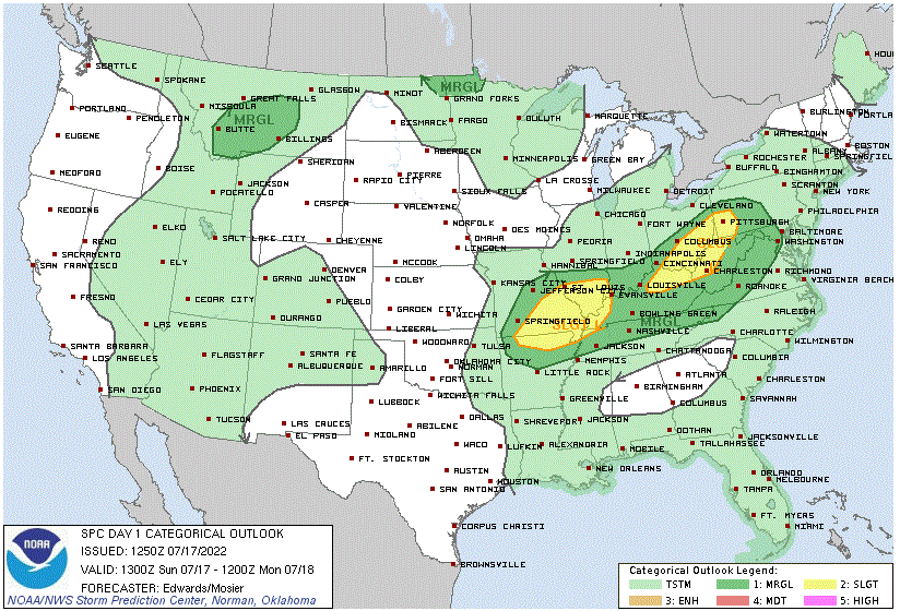
There will be just a marginal (dark green, level 1 of 5) risk of severe storms Sunday afternoon and evening in the northwestern corner of Minnesota around Hallock and Roseau. Light green indicates possible areas of non-severe thunderstorms Sunday and Sunday night.
Heating up Monday and Tuesday
Turn Up Your Support
MPR News helps you turn down the noise and build shared understanding. Turn up your support for this public resource and keep trusted journalism accessible to all.
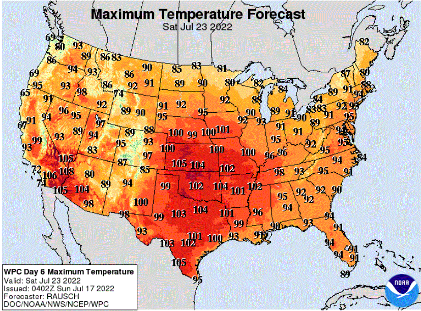
The heat will really crank up on Monday. Highs are likely to range from around 90 in the northeast to about 100 in west central Minnesota around Madison. The Twin Cities seems likely to have a high near 98 on Monday. Tuesday should be just a bit less toasty with a Twin Cities high near 94.
Chances of storms, possibly severe
Unsettled weather will return on Monday and Tuesday. Scattered showers and storms are likely across northern Minnesota on Monday. By Monday night, the threat of severe weather will spread from North Dakota into northwestern Minnesota. A slight risk (yellow, level 2 of 5) has been posted for the northwestern corner of Minnesota for Monday night. It is surrounded by a marginal (dark green, level 1 of 5) risk.
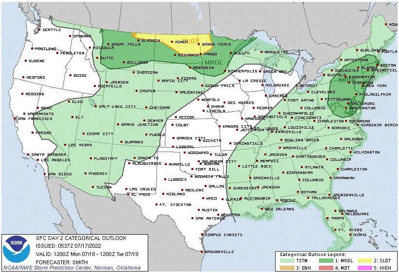
The chances of strong/severe storms will build southeast later Monday night and for Tuesday. Then the slight risk will cover central to east central Minnesota and most of Wisconsin. The Twin Cities area should have a chance of strong or severe storms Tuesday morning and maybe again later in the day.

Wednesday will be the most comfortable day for the upcoming week
A cold front will cool the state closer to normal for Wednesday.
Heat builds again after Wednesday
Then expect the heat to ramp up again later in the week.