
Hot, humid; some storms
Severe weather possible north and east

Go Deeper.
Create an account or log in to save stories.
Like this?
Thanks for liking this story! We have added it to a list of your favorite stories.


Showers and clouds will move out across southern Minnesota Tuesday morning. Expect a hot, muggy afternoon with storms redeveloping north late Tuesday. Some storms could be strong there.
Hot, muggy Tuesday with some storms
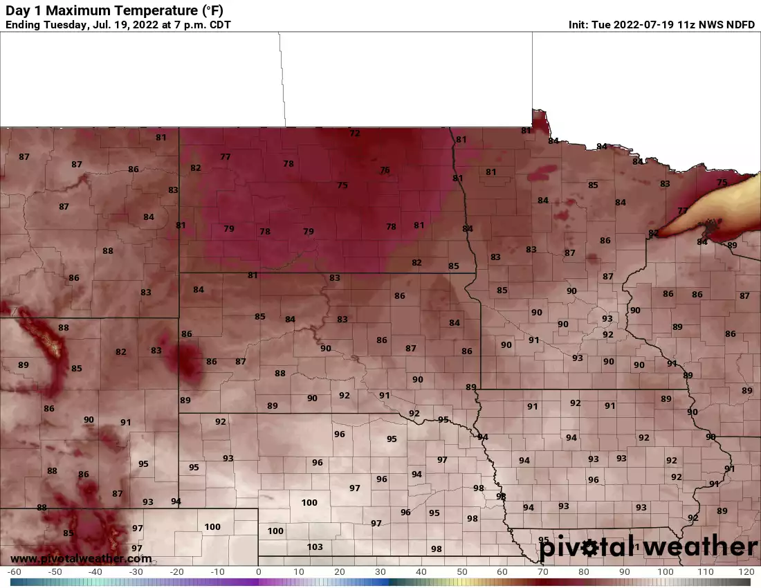
Scattered showers and clouds will move out of southern Minnesota through the morning. Most of central and southeastern Minnesota will see temperatures back in the 90s.
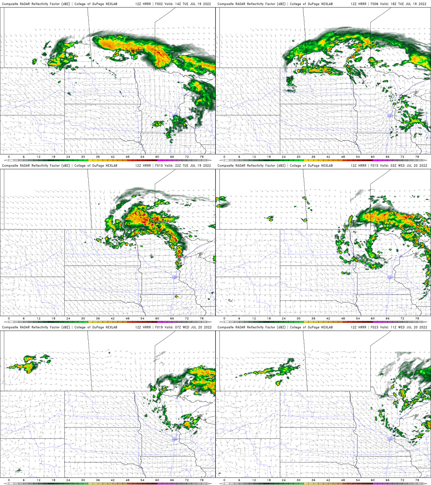
Spotty storms will redevelop late Tuesday afternoon and evening, primarily in northeastern Minnesota and western Wisconsin ahead of a cool front.
There’s a risk that what few storms do develop could be strong to severe. There’s a slight risk (level 2 out of 5) of severe storms.
Turn Up Your Support
MPR News helps you turn down the noise and build shared understanding. Turn up your support for this public resource and keep trusted journalism accessible to all.

Cool front drops dew points, temps slightly
We’ll see a temporary push of dry air move in this evening and overnight. Dew points will drop into the 50s and even 40s for some.

Overall, temperatures stay pretty warm though in the upper 80s and low 90s into the weekend for much of southern and western Minnesota.

Extreme heat in the UK and Europe
The United Kingdom preliminarily broke its all time record high, reaching 40 degrees Celsius for the first time ever.
These are some temperatures at 1 p.m. local time, many are still warming.

The extreme heat that first struck Spain and Portugal, then France, and now the U.K. has created a high fire risk for many areas as well.

The European heat wave undoubtedly, has the finger prints of human-caused climate change. Heat waves are becoming more frequent, longer and more extreme globally.

