
Above-normal temperatures continue
Isolated thunder chances ahead

Go Deeper.
Create an account or log in to save stories.
Like this?
Thanks for liking this story! We have added it to a list of your favorite stories.


It will remain very warm across the region but a little cooler with slightly lower dew points Wednesday and Thursday. The next chance of some thunderstorms arrives Saturday for most with isolated thunder chances Wednesday night and Thursday night in western Minnesota.
Continued very warm, hot, windy
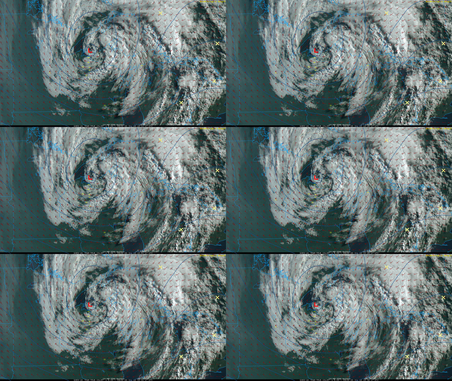
A vigorous upper-level low is moving out of Minnesota. It’s the culprit for morning cloud cover. Those clouds will move out by afternoon for most, but perhaps lingering in northeastern Minnesota.
It’ll be windy again Wednesday as winds from the northwest blow at 15-25 mph, with gusts of 30-35 mph. High temperatures will be in the upper 80s to near 90 in the south to near 80 in the northeast.

Thursday will likely stay below 90 statewide with lots of sunshine and lighter winds. Temperatures will be heating up again for Friday. Low to mid-90s will again spread across western and southern Minnesota with dew points starting to increase again as well.

After Friday temperatures are back in the 80s and it appears that overall, the hottest conditions push into the southeast and west for most of next week giving Minnesota more closer to normal temperatures.

Continued dry; next chance Friday into Saturday
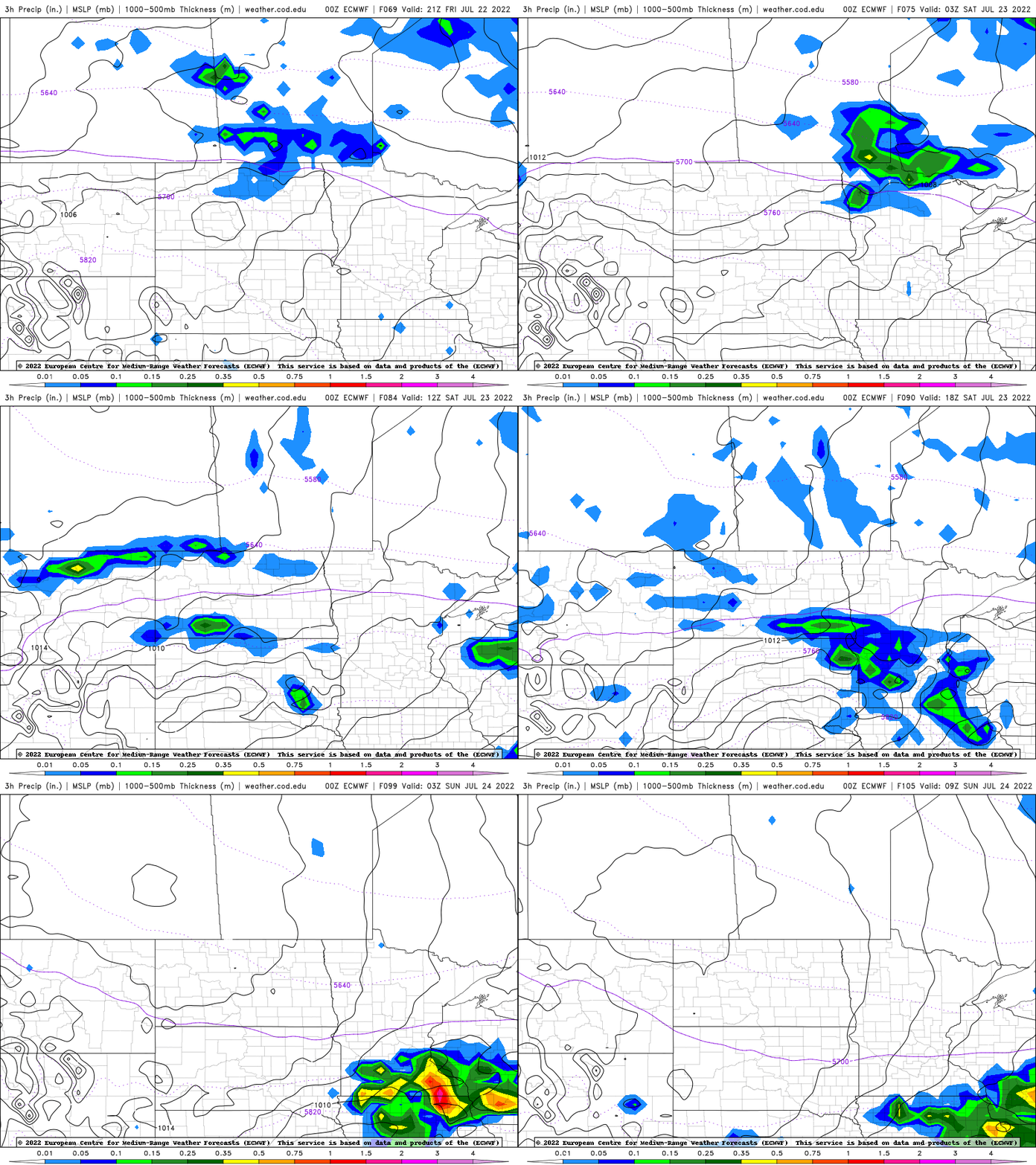
There will be a risk of an isolated shower or thunderstorm Wednesday night in northwestern and north-central Minnesota and then another isolated chance Thursday night in central and western Minnesota. The better chance of some spotty storms develops Saturday for much of Minnesota into Saturday night.
Turn Up Your Support
MPR News helps you turn down the noise and build shared understanding. Turn up your support for this public resource and keep trusted journalism accessible to all.

