
Sunny Thursday; hotter Friday
Some spotty thunder chances

Go Deeper.
Create an account or log in to save stories.
Like this?
Thanks for liking this story! We have added it to a list of your favorite stories.


We’ll have plenty of sunshine Thursday. Temperatures will be hotter again Friday with the best chance of some thunderstorms Saturday into Saturday night. Next week brings more seasonable, comfortable temperatures.
Lots of sunshine Thursday, then hotter
We’ll have a sun-filled Thursday with high temperatures well into the 80s and comfortable dew points in the 50s and even 40s for some. Enjoy it, things are heating up for southern Minnesota again Friday. High temperatures will be in the 90s for the Twin Cities and much of southern, western Minnesota.

We could even be near 90 again on Saturday. In addition to the heat, dew points will increase by late Friday, and by Saturday will be pretty muggy.

After Saturday, we settle into a more seasonable stretch of temperatures in the low to mid-80s with lower dew points. The heat will push into the south and west — for now.
Turn Up Your Support
MPR News helps you turn down the noise and build shared understanding. Turn up your support for this public resource and keep trusted journalism accessible to all.

Thunderstorm chances?
We’ll have some spotty thunderstorm chances Thursday night into early Friday near the boundary of hotter and more humid air.
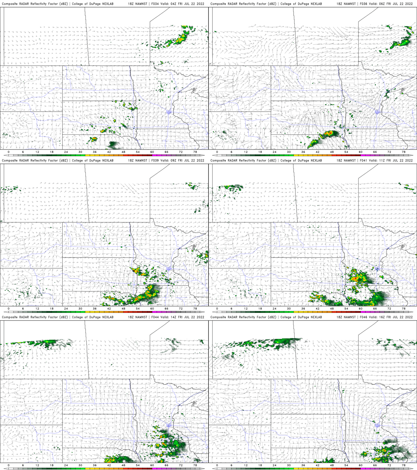
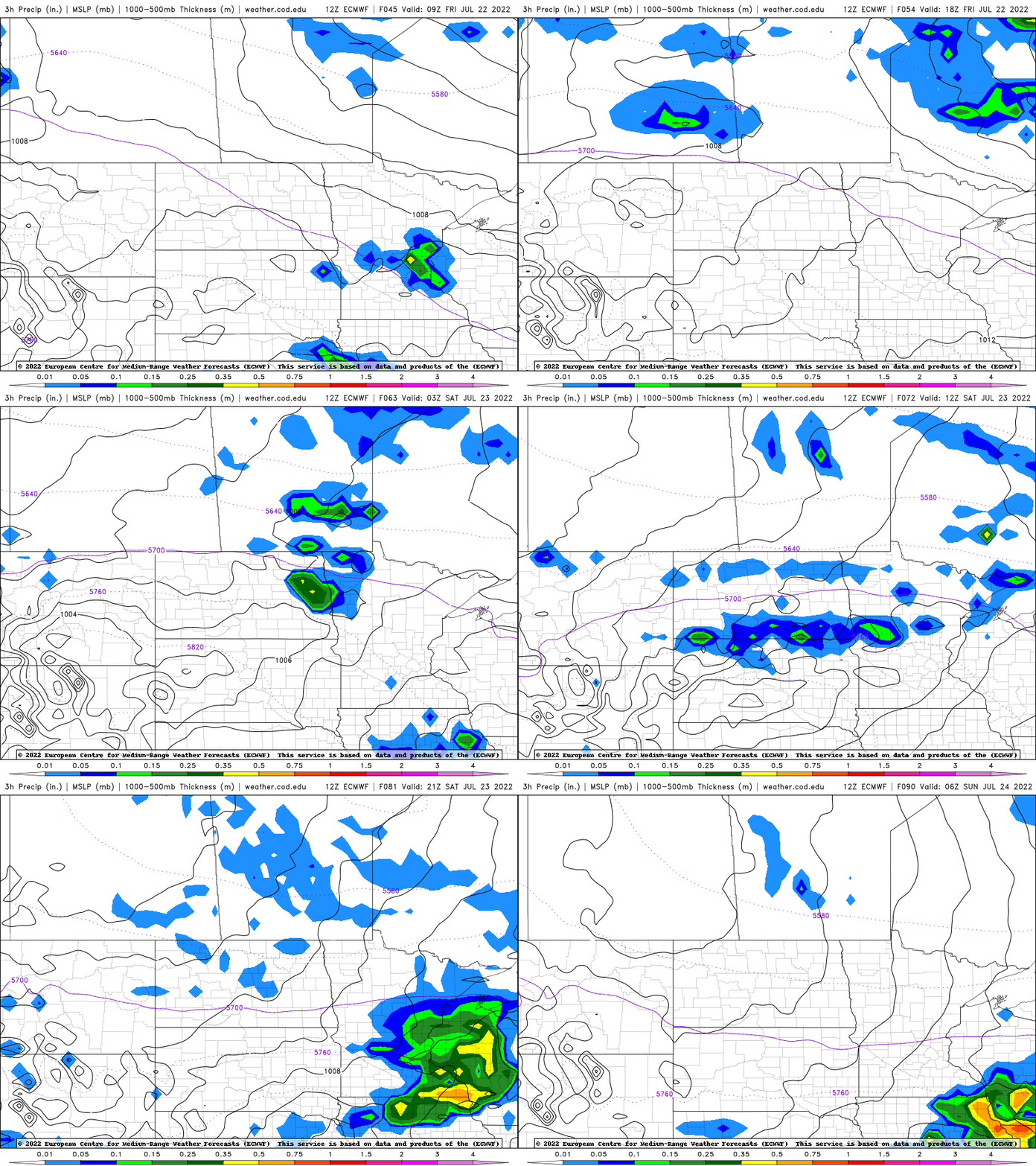
The better chance of scattered showers and thunderstorms is late Saturday into Saturday night. Fingers crossed for a needed rainfall across south central Minnesota into the Twin Cities and western Wisconsin.
Smoke and a hot 30 days
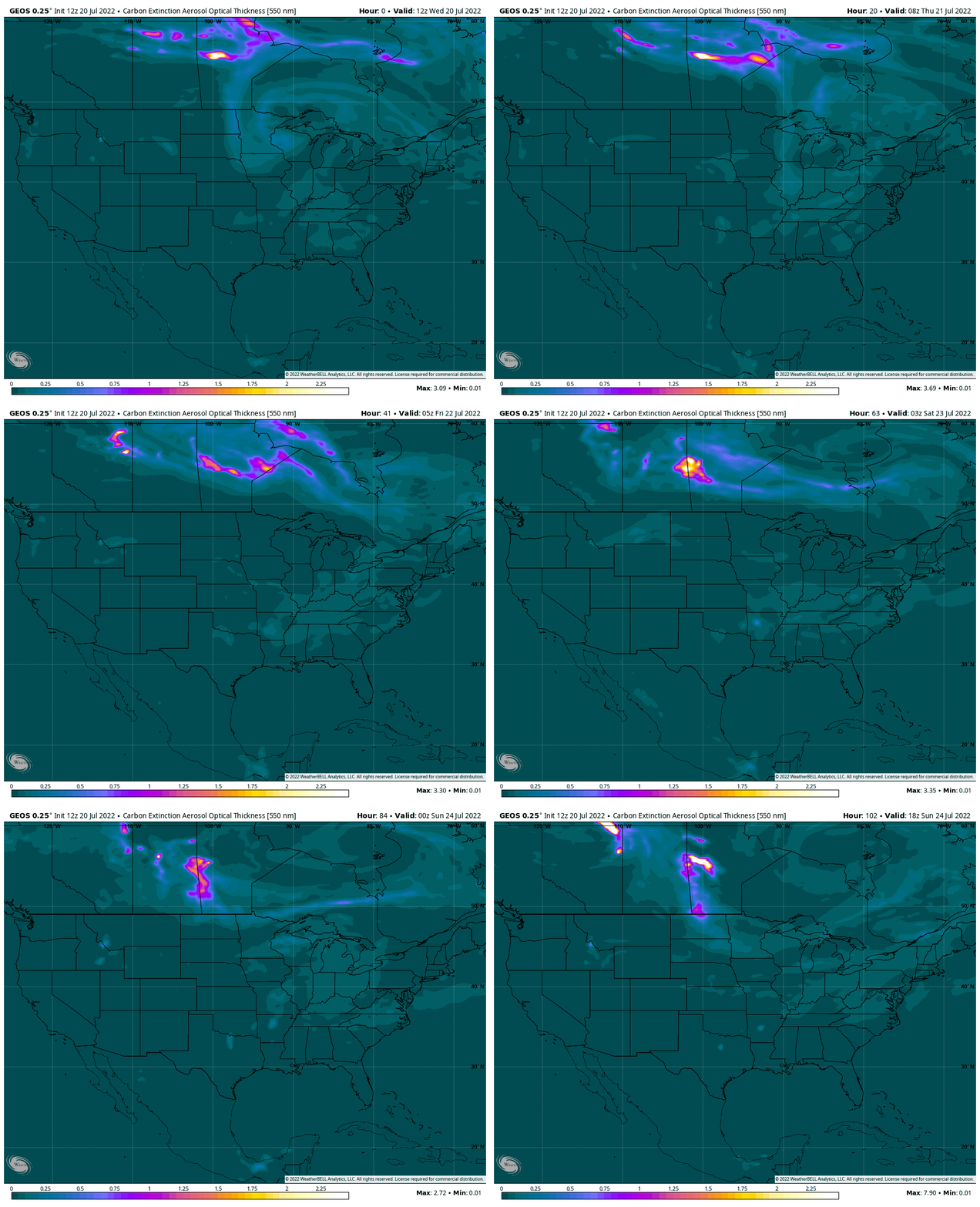
Did you see the smoky skies Wednesday? Luckily we haven’t had to deal with that much this summer compared to last summer. Wildfire smoke blew in from Manitoba after the passage of Tuesday night’s cold front.
NASA’s smoke computer model brings back the possibility of Canadian wildfire smoke Sunday after a cooler flow pattern develops from the north again.
In addition to smoke, it’s been hot lately of course. The Twin Cities National Weather Service posted this ‘fun fact’ yesterday. Our past month’s worth of temperatures has been the sixth hottest, more like Kansas City, Mo.


