
Instability showers north; cooler Thursday, then heating up
A few showers mainly northern Minnesota Wednesday

Go Deeper.
Create an account or log in to save stories.
Like this?
Thanks for liking this story! We have added it to a list of your favorite stories.


We’ll see partly cloudy skies Wednesday but some instability showers will pop up, primarily for the northern half of Minnesota. Thursday will bring our coolest high temperatures this month so far before things heat up this weekend.
Partly cloudy Wednesday with a few showers
Most of us will have sunshine through partly cloudy skies but watch out for mainly the northern half of Minnesota for some pop-up showers this afternoon and evening. One or two can’t be ruled out for the Twin Cities also.
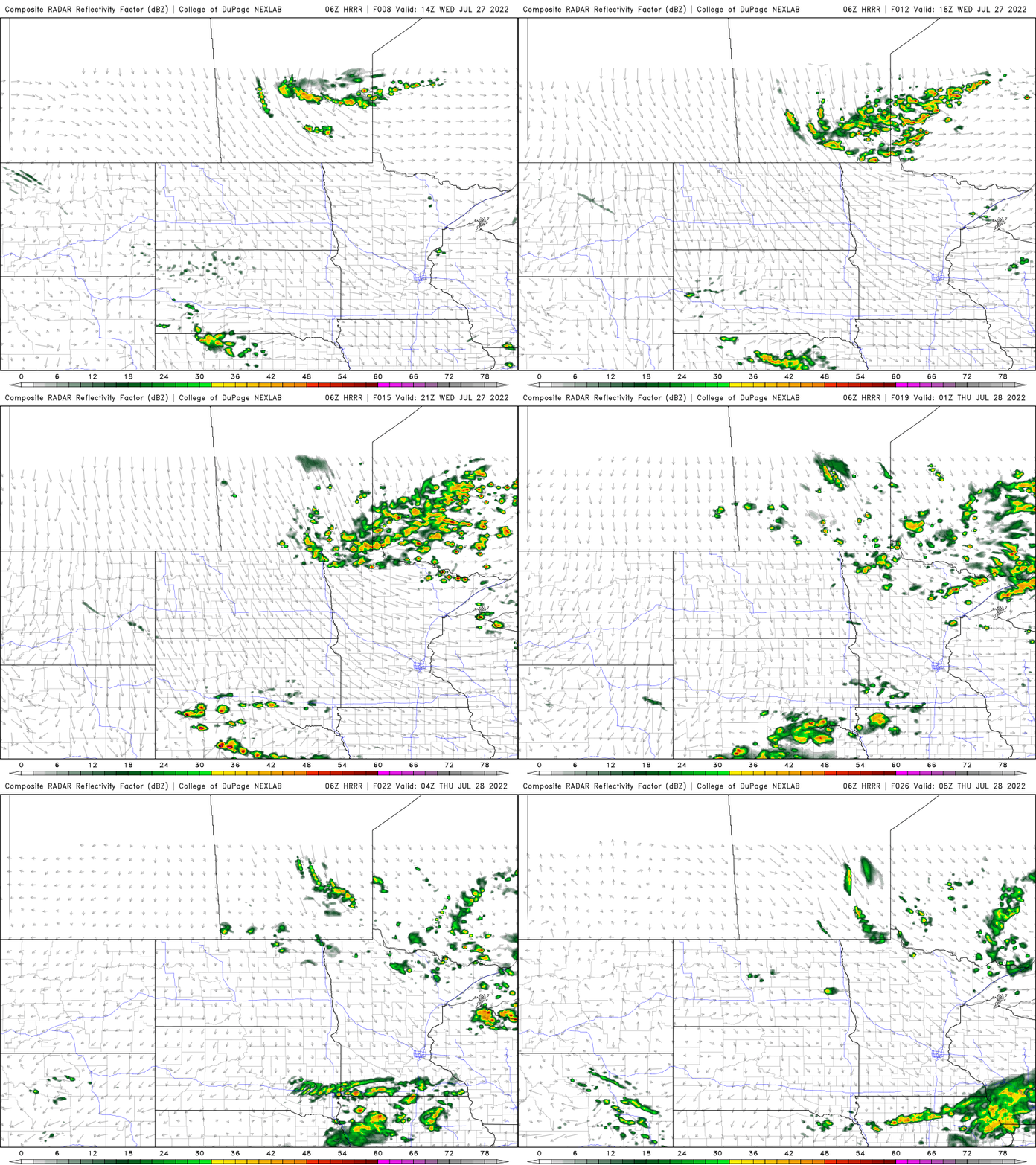
High temperatures Wednesday will be in the low 80s south and in the 70s north. Thursday will bring our coolest day this month of July so far for many. Highs will only be in the mid to upper 70s in southern Minnesota and in the upper 60s in northeast Minnesota.

Heating up
After another pleasant day Friday, much warmer and more muggy air will be building in this weekend into next week. Highs will be in the upper 80s this weekend.
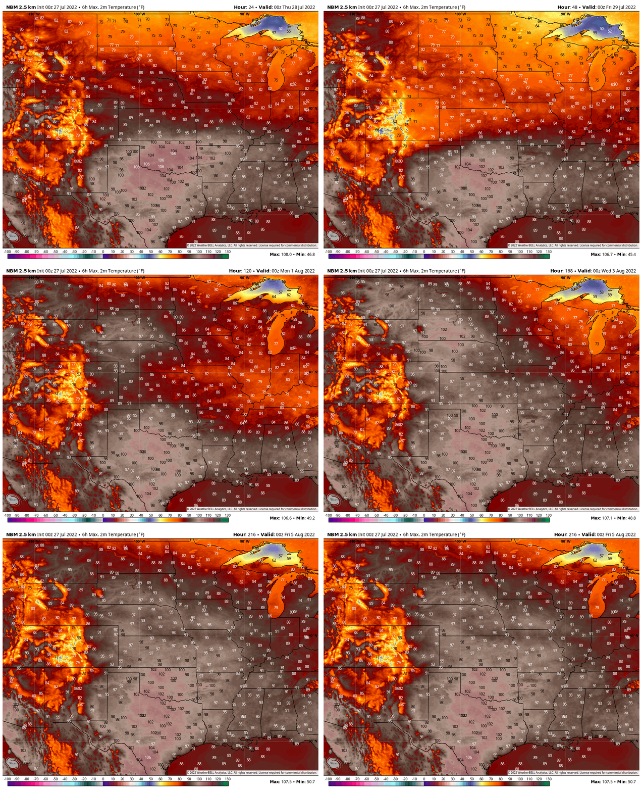
We may hit 90 already by Sunday, but almost certainly by the middle of next week. Most models have us in the 90s more than once next week.

Record St. Louis rainfall
St. Louis, Mo. shattered an all-time record rainfall early Tuesday. They saw 8.64 inches of rainfall. The old record was 6.85 inches, set back in 1915 as the remnants of the Galveston hurricane dumped rain on the region.

The culprit is the boundary of the cooler air that pushed through Minnesota earlier this week. It’s stalled over the central U.S. creating clouds, showers, and thunderstorms repeatedly.

Turn Up Your Support
MPR News helps you turn down the noise and build shared understanding. Turn up your support for this public resource and keep trusted journalism accessible to all.

