
Isolated showers Wednesday; comfortable through Friday
After this week the heat returns

Go Deeper.
Create an account or log in to save stories.
Like this?
Thanks for liking this story! We have added it to a list of your favorite stories.


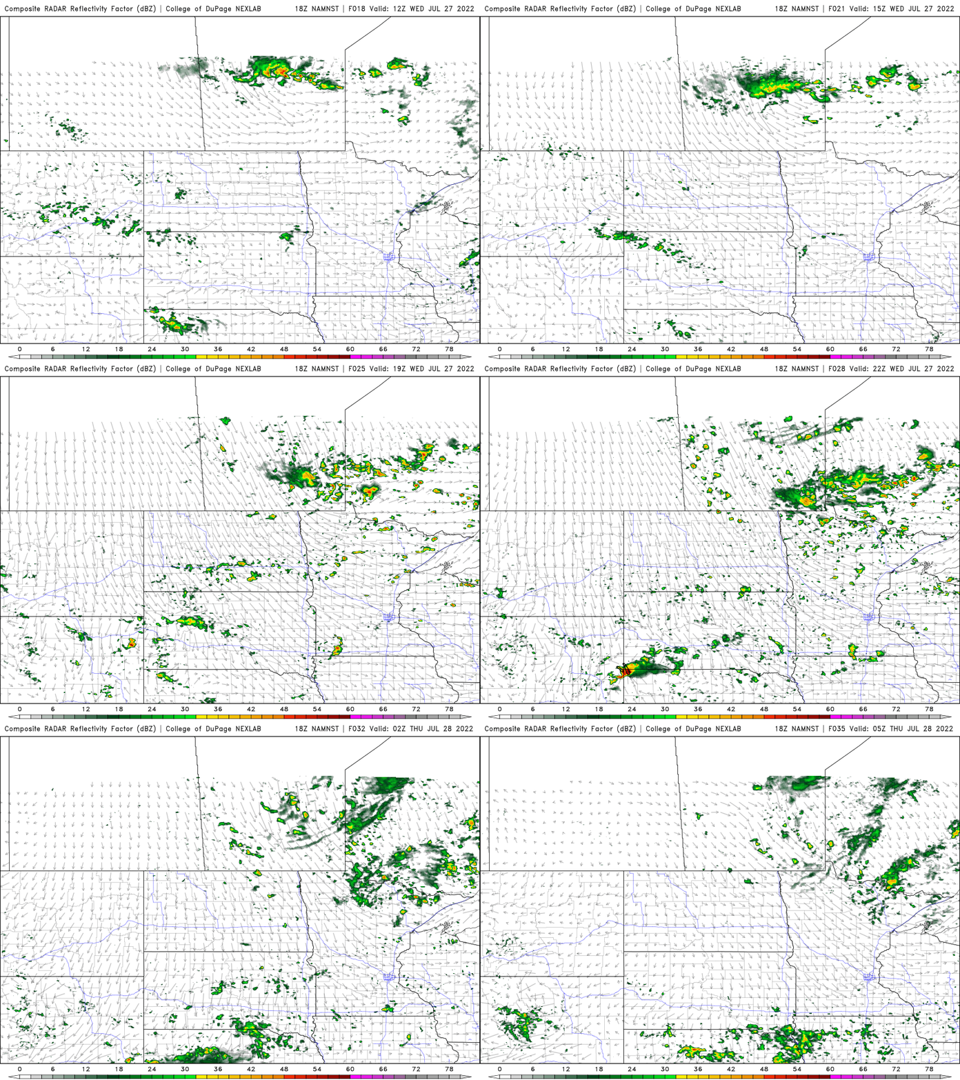
An unsettled atmosphere will lead to a few pop-up, instability showers in the northern half of Minnesota mainly Wednesday afternoon. Highs will continue below normal through Friday before becoming hotter this weekend.
Lingering instability Wednesday; otherwise pleasant
Wednesday should see high temperatures near 80 in the south with morning sunshine. Cumulus clouds will pop through for central and northern Minnesota as an upper level low cools temperatures aloft, creating instability with the sunshine heating the ground, combined with lingering moisture. Look for pop-up, instability showers.
Below normal temps continue through Friday
High temperatures Thursday will be in the 70s only for most of the state with just upper 60s even in northeast Minnesota. We should see brighter skies too.

Low temperatures Thursday night into early Friday will be downright cool, mainly in the 50s with some 40s in northeast Minnesota.

If you’re a fan of these temperatures in the 70s, make sure to enjoy it. It won’t last. Temperatures will soar back into the upper 80s this weekend, possibly near 90 and next week is looking pretty hot overall.
Turn Up Your Support
MPR News helps you turn down the noise and build shared understanding. Turn up your support for this public resource and keep trusted journalism accessible to all.

