
Excessive heat Tuesday; storms possible overnight
Hot, humid, some storms then briefly cooler

Go Deeper.
Create an account or log in to save stories.
Like this?
Thanks for liking this story! We have added it to a list of your favorite stories.


A steamy Tuesday is in store for us as both the temperature and the dew point rise to levels not seen in weeks. Heat index values will reach 100 degrees or more for many places in southern and western Minnesota. Storms are possible overnight Tuesday night.
Excessive heat and heat advisories Tuesday
The combination of high temperature and high dew points will create conditions warranting an afternoon excessive heat warning in the Twin Cities area and a heat advisory for many parts of southern and western Minnesota Tuesday afternoon. Highs will be well into the 90s for several places.

With dew points reaching the low 70s in those same areas, the heat index values will reach triple digits for many.

Storms possible Tuesday night
A cool front will move across Minnesota late Tuesday into early Wednesday touching off possible scattered thunderstorms, if they can break through a ‘capped’ (warm air aloft) atmosphere.
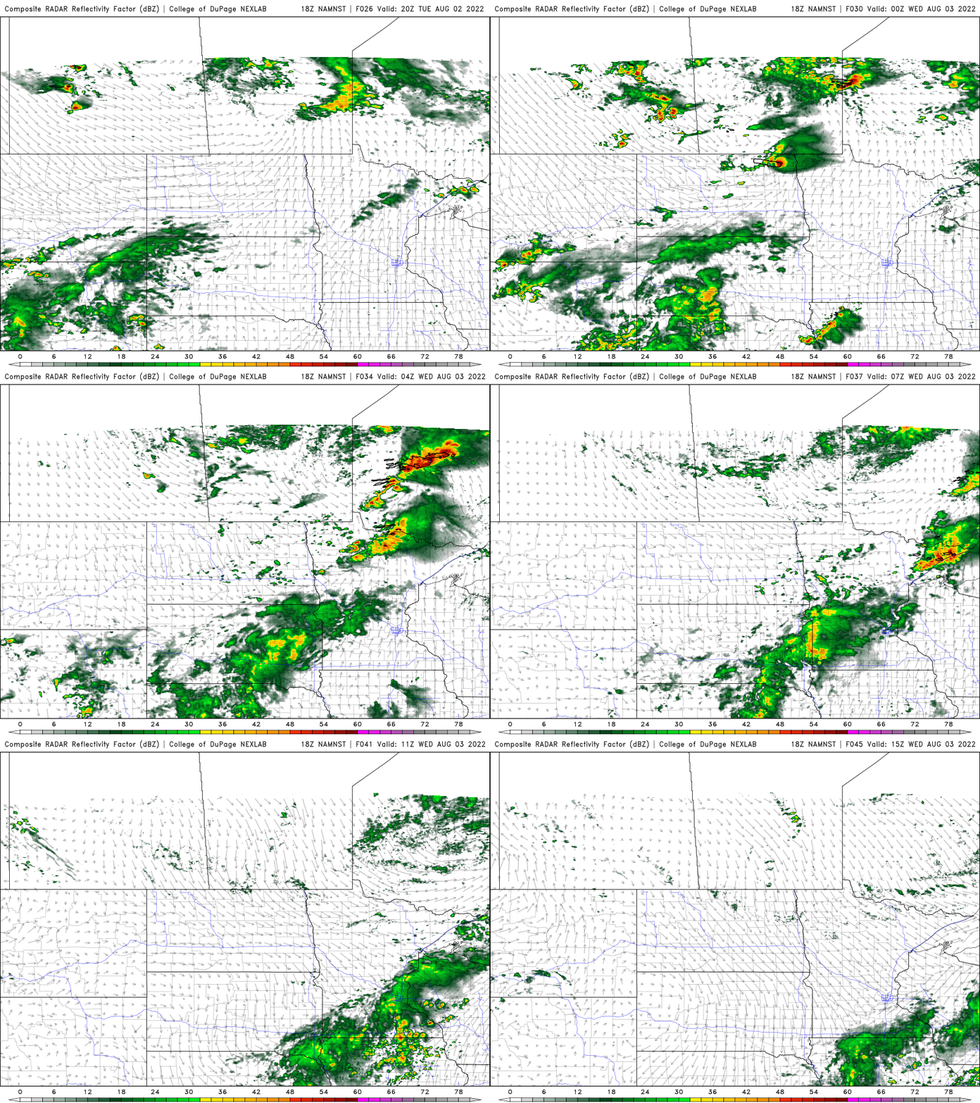
What storms do develop could be strong to severe as there will be ample energy and moisture. A slight risk (level 2 of 5) of severe storms is forecast for portions of Minnesota late Tuesday into Tuesday night, elsewhere, a marginal risk (level 1 of 5) is forecast.

Beyond that, it will be slightly cooler late Wednesday into Thursday but we could be heating back up Friday and Saturday.
Turn Up Your Support
MPR News helps you turn down the noise and build shared understanding. Turn up your support for this public resource and keep trusted journalism accessible to all.

