
Cooler Wednesday, Thursday; heating back up Friday
A break from heat and humidity for a couple days

Go Deeper.
Create an account or log in to save stories.
Like this?
Thanks for liking this story! We have added it to a list of your favorite stories.


Slightly cooler and much drier air is flowing across Minnesota in the wake of a cool front. Temperatures will be back in the 80s with falling dew points. Thursday will be comfortable before Friday heats up again.
A break from hot, humid air
A more comfortable couple of days is settling in behind a cool front that will make for falling dew points through the morning into the afternoon Wednesday.

High temperatures will be cooler, but still very warm Wednesday well into the 80s south and 70s north.
Hotter Friday, Saturday storms?
Thursday will be comfortable again with plenty of sunshine but the heat is back for Friday. Expect highs back in the 90s again with muggy dew points, though not as humid as yesterday.
Turn Up Your Support
MPR News helps you turn down the noise and build shared understanding. Turn up your support for this public resource and keep trusted journalism accessible to all.

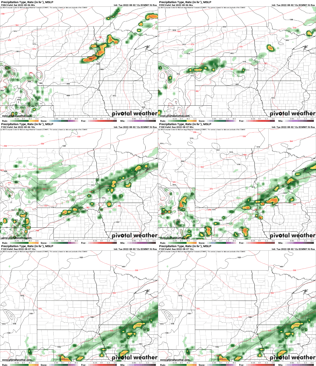
The next system brings a chance of scattered storms Saturday and behind that, cooler air again for Sunday.
Daylight lost in August
While August is still firmly a summer month of course, we begin a rapid loss of daylight. The light is mostly steady in May, June and July since sunlight change is parabolic (big wide curve at the top in May/June/July and a big/wide curve at the bottom in November/December/January).
August is when we see the return of darkness increasingly above the arctic circle. Utqiagvik, Alaska (formerly Barrow) saw the sun set yesterday for the first time in 83 days. In 110 days there will be no more sunrises already!
A more rapid loss of daylight occurs here at mid-latitudes as well.

We lose about 1.5 hours of daylight in August, passing the 2 minutes lost per day mark last week. Compare that to just 50 minutes lost in the month of July.

