More comfortable air Wednesday, Thursday; Friday reheats
After the heat and storms a break for a couple days

Go Deeper.
Create an account or log in to save stories.
Like this?
Thanks for liking this story! We have added it to a list of your favorite stories.


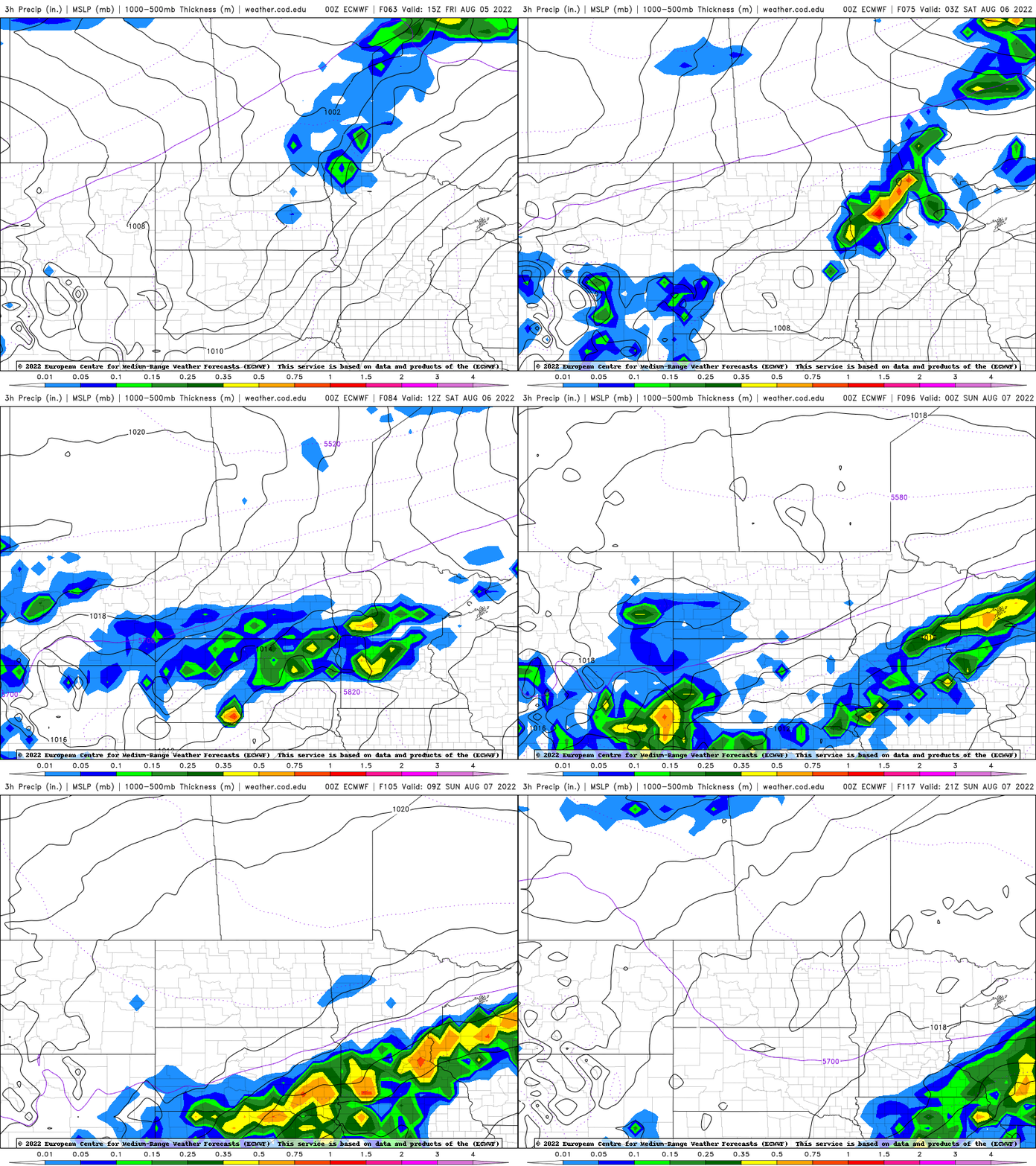
After a steamy and eventually stormy Tuesday, cooler, more comfortable air is moving in Wednesday. Thursday will be beautiful before it heats up again Friday with a decent chance of rain and thunder Saturday.
Storms came after a steamy Tuesday
The top heat index was 115 degrees in Hutchinson, Minn., west of the Twin Cities. The Minneapolis-St. Paul International Airport saw a 109-degree peak heat index. Check out the the top heat indices from the Twin Cities National Weather Service office.
The actual air temperature topped out at 100 in Redwood Falls and Canby in southwestern Minnesota. It was 95 in the Twin Cities.

Storms then erupted in South Dakota and held together, creating severe wind gusts across western, south central, east central Minnesota and the Twin Cities into western Wisconsin.
Turn Up Your Support
MPR News helps you turn down the noise and build shared understanding. Turn up your support for this public resource and keep trusted journalism accessible to all.
Hector, Minn., clocked an 81 mph wind gust. Redwood Falls saw a 68 mph wind gust and Bloomington saw gusts at 67 mph. The Minneapolis-St. Paul International Airport recorded a 62 mph wind gust, as did Red Wing, southeast of St. Paul.
More comfortable air Wednesday, Thursday
Dew points will drop through the day Wednesday in the wake of a cool front. Muggy air will return, however, by Friday and Saturday, although it should not be as humid as it was Tuesday.
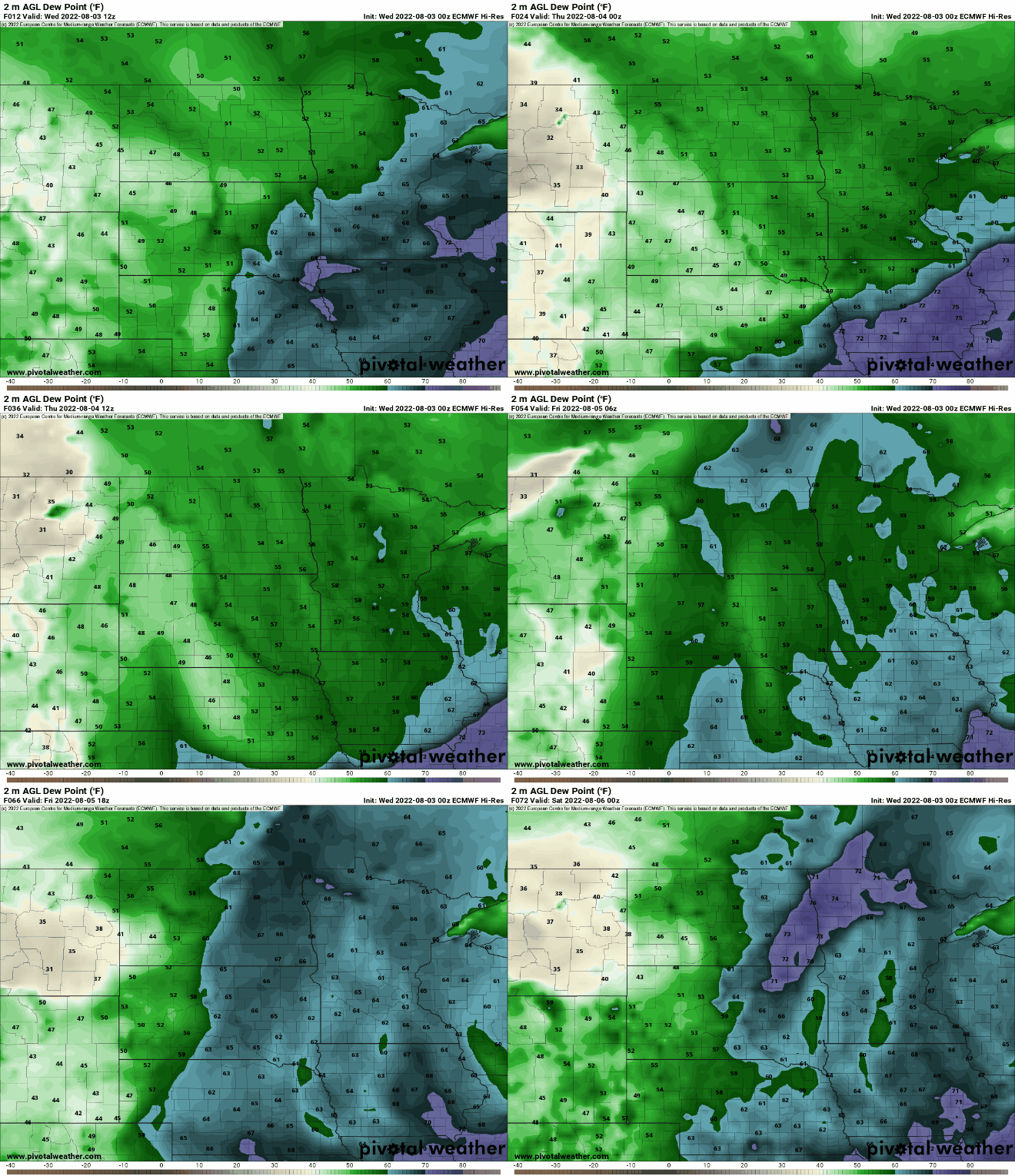
Wednesday high temperatures will still be very warm, in the upper 80s south and 70s north but cooler than Tuesday.

Thursday will be beautiful with comfortable dew points in the 50s and lots of sunshine with seasonable temperatures. Highs will be in the 80s south and 70s north.

Heat and thunderstorms Friday into Saturday
After a brief break, the heat is back for Friday. High temperatures will be back in the 90s for much of southern and western Minnesota. Dew points won’t be quite as high; 60s versus 70s, so those heat indices won’t be as extreme.

Saturday brings a decent chance of scattered showers and thunderstorms. We’ll see if this time, widespread moisture can develop over drought-stricken areas.