
A gorgeous Thursday; hotter Friday; storms possible Saturday
Comfortable Thursday with 90s returning Friday

Go Deeper.
Create an account or log in to save stories.
Like this?
Thanks for liking this story! We have added it to a list of your favorite stories.


Enjoy a beautiful day Thursday with comfortable dew points and near normal temperatures with lots of sunshine. Heat and muggier air returns Friday, setting the stage for possible storms Friday night into Saturday and Saturday night.
Comfortable Thursday; dew points increase Friday
Thursday will be a picture-perfect early August day. Temperatures will be just about average, slightly above. Highs will range from the low to mid-80s south and 70s north. Most importantly, dew points will remain comfortable, in the 50s.

The dew points increase and become muggy again Friday into Saturday, though not at the levels we experienced Tuesday when we had widespread dew points in the mid-70s.
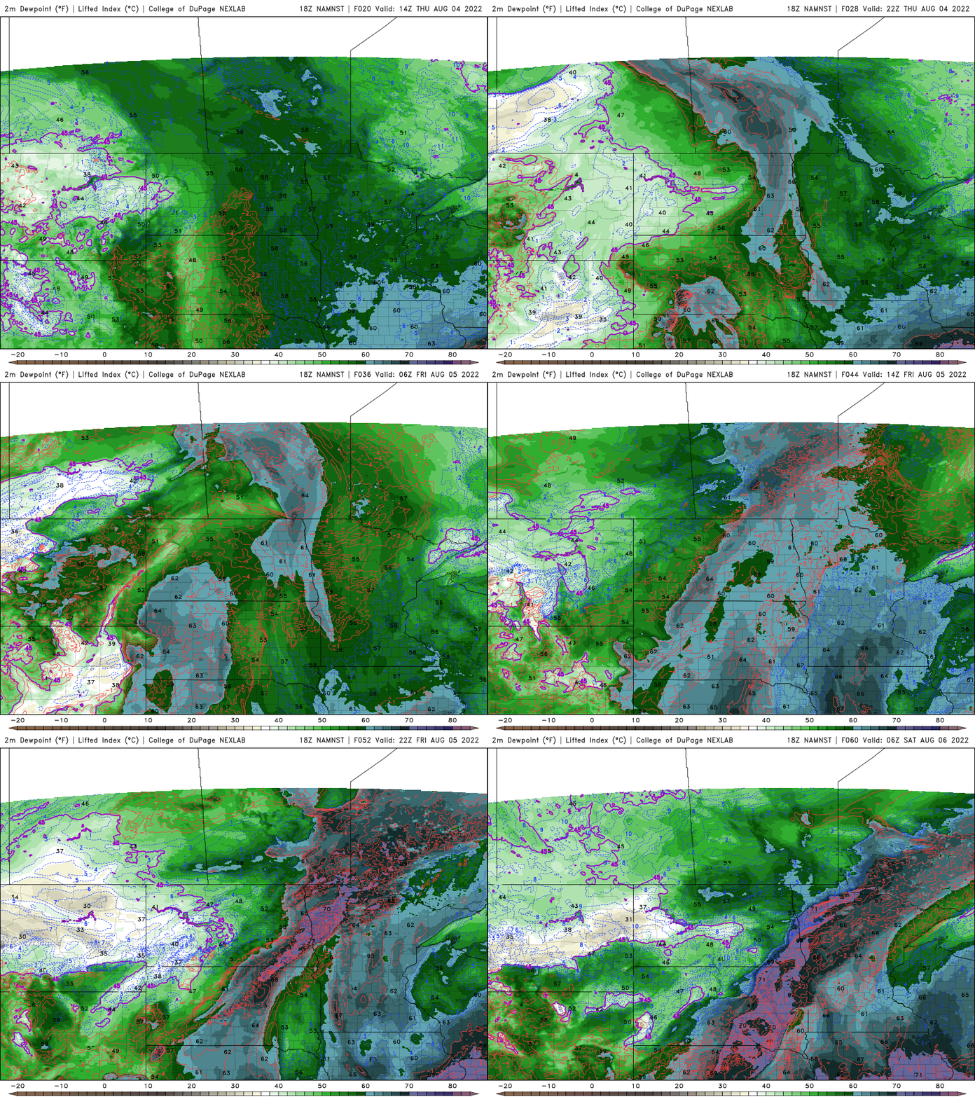
Friday will also bring a return to some heat. Highs will be in the 90s south and west.

Storms possible over the weekend then cooler
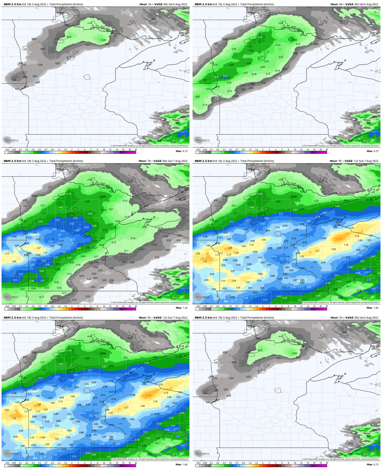
Scattered showers and thunderstorms develop possibly as early as Friday night and we’ll have a few chances of them Saturday into early Sunday. A “blend of the models” — sort of an average of some of the models — gives some hopeful precipitation amounts. With the ongoing drought, however, it’s a ‘believe it when you see it’ approach this year.
After Saturday, temperatures cool down again to more seasonable levels into early next week.
Turn Up Your Support
MPR News helps you turn down the noise and build shared understanding. Turn up your support for this public resource and keep trusted journalism accessible to all.

