
Scattered showers; east-west divide in temperatures Friday
Much warmer in southwest Minnesota; showers wrap up east

Go Deeper.
Create an account or log in to save stories.
Like this?
Thanks for liking this story! We have added it to a list of your favorite stories.


Morning rain moves east but clouds will linger for much of the state on Friday. Sunshine on the warm side of the warm front will push temperatures to near 90 in southwestern Minnesota. A decent weekend is shaping up.
Biggest rainfall in 3 months for the Twin Cities
Through 9 a.m. the Minneapolis-St. Paul International Airport received 94 one-hundredths of an inch of rain, the biggest single daily rainfall since May 11, three months ago.
From May 25 through Aug. 5, we had no rainfalls of one-half inch or greater in the Twin Cities, officially. We’ve now had three in just one week. The steady rains are wrapping up and we’ll still have a few spotty or scattered showers through the early to mid-afternoon.
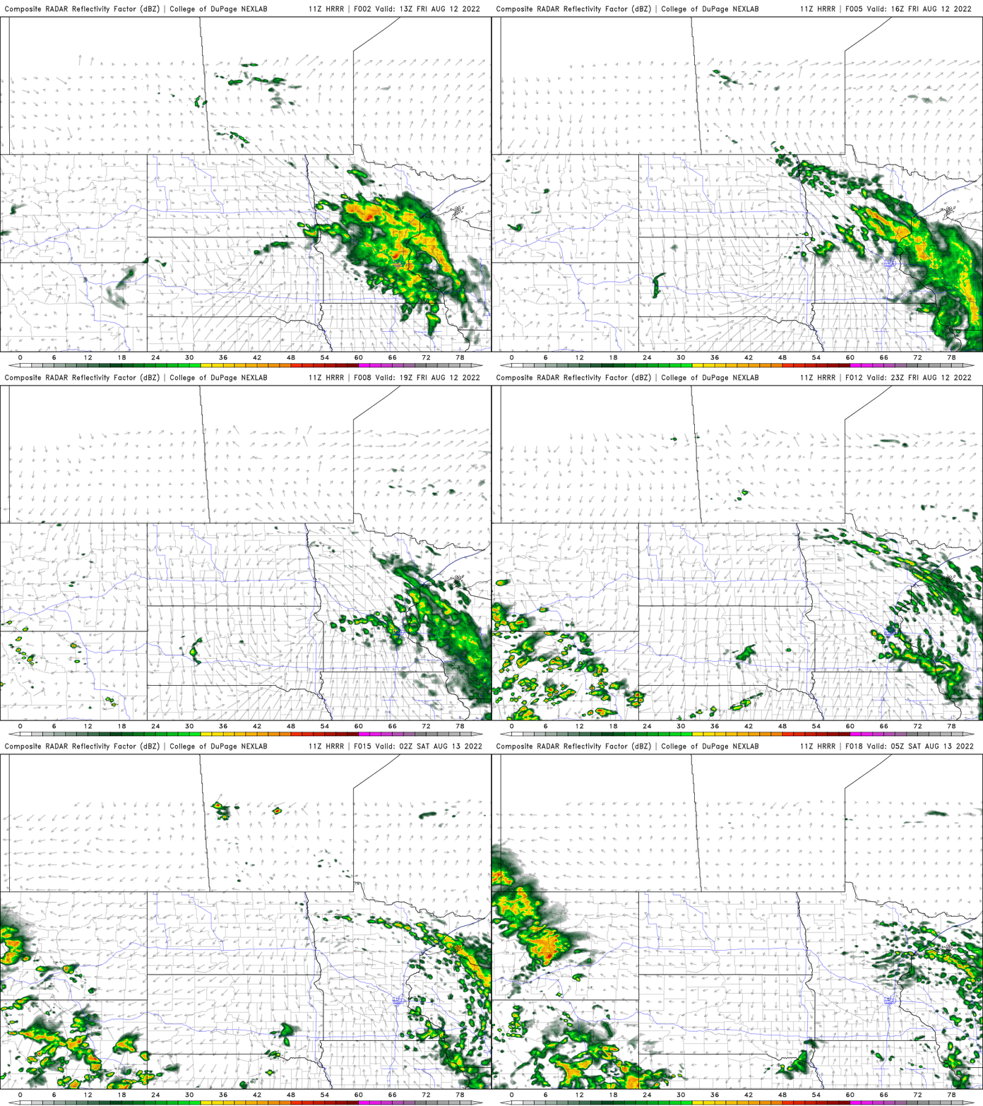
There will be a big divide in temperatures Friday afternoon as southwestern Minnesota sees some sunshine and will be on the warm side of the warm front. Highs will be near 90 in the southwest but just 70s in the east.

Seasonable temperatures
We’ll see temperatures near normal, which means low 80s south and 70s north this weekend with partly cloudy skies.


It will occasionally be a bit muggy this weekend but drier air should make its way back into much of Minnesota by early next week.
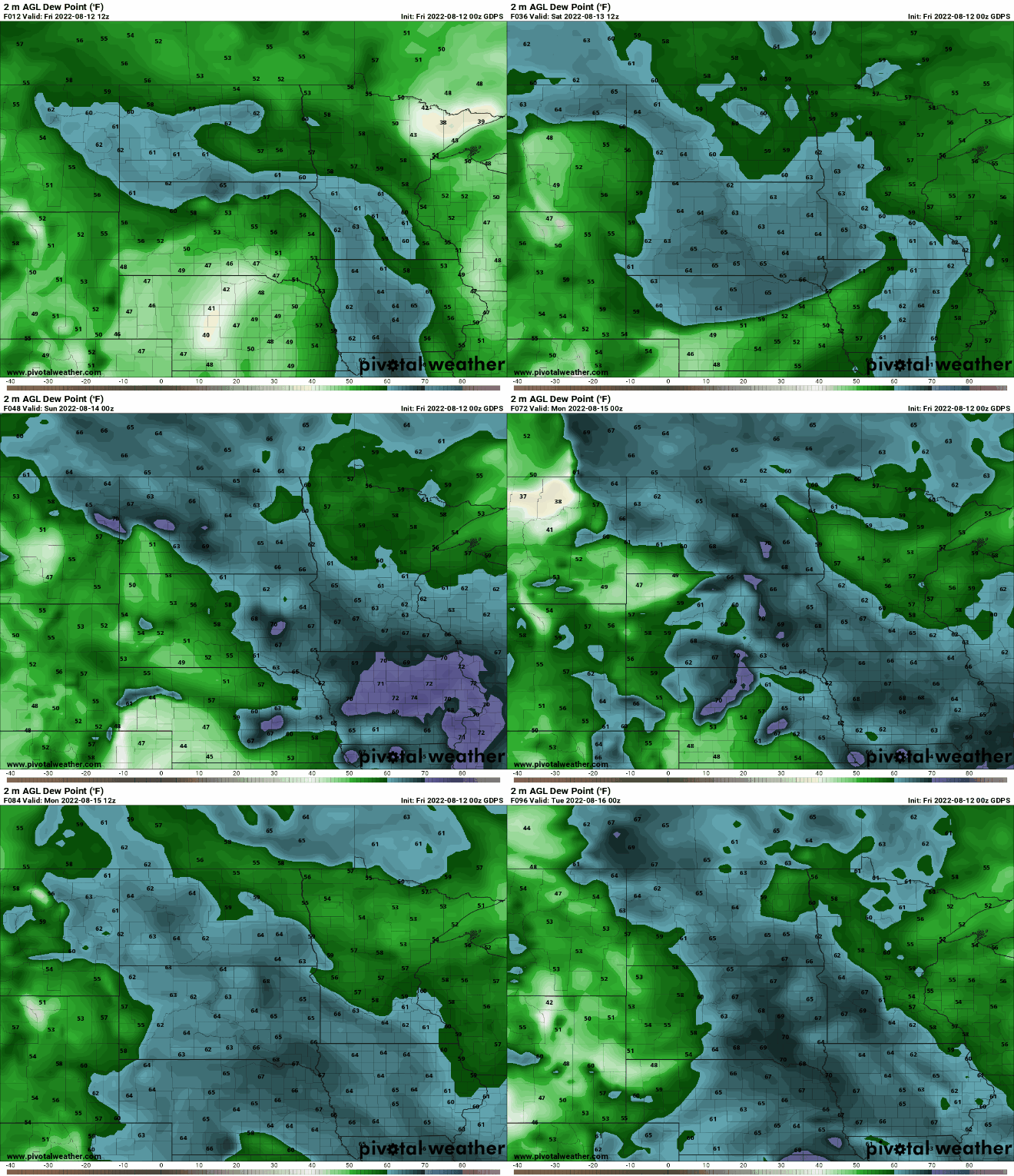
In the extended forecast, temperatures through next week will be near normal for the Twin Cities with cool, wet conditions in the east and the heat mainly parked across the Dakotas into Montana and western Canada.

Turn Up Your Support
MPR News helps you turn down the noise and build shared understanding. Turn up your support for this public resource and keep trusted journalism accessible to all.

