
Clouds fill back in Monday; showers southwest
A cooler, cloudier, unsettled pattern this week

Go Deeper.
Create an account or log in to save stories.
Like this?
Thanks for liking this story! We have added it to a list of your favorite stories.


Expect more clouds to fill back in Monday with showers in southwest Minnesota. There will be several chances of rain this week and overall a continuation of cloudier and cooler conditions.
Clouds return, showers southwest Monday
Clouds will fill back in Monday in what’s become a familiar pattern the last few days. Clouds will keep temperatures a bit on the cooler side of normal once again.

We’ll see showers clip southwest Minnesota, part of a larger system across Nebraska and Iowa.

Overall unsettled with multiple disturbances, clouds
We have several disturbances moving through Minnesota this week in a rather active (for a change) northwest flow pattern. The better chances for the first half of the week are northern and western Minnesota. The Twin Cities will see an increased chance of showers by Thursday and Friday.

Because of the frequent disturbances, low level moisture, and cooler air, we’ll see frequent clouds as well.

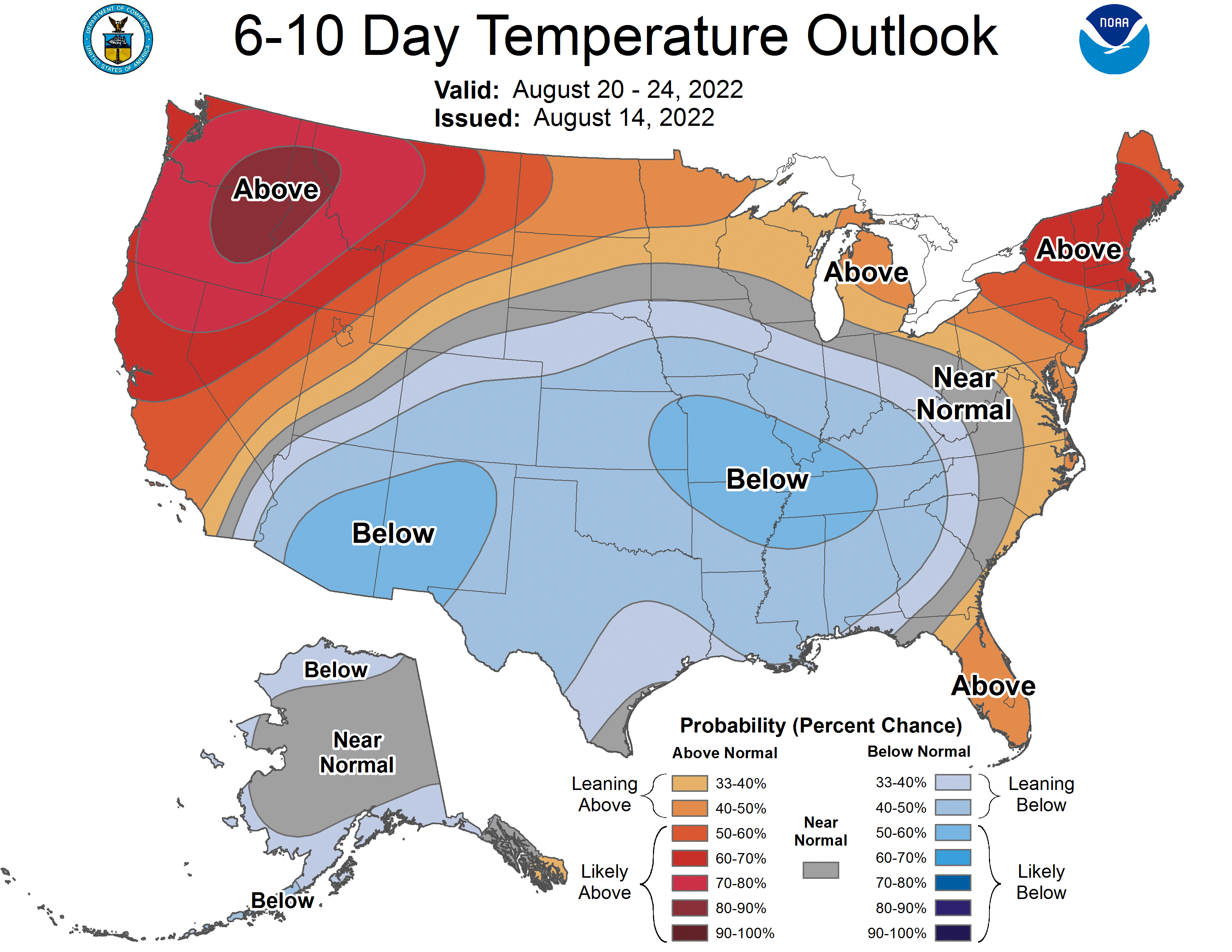
The reason for the change in weather is due to the fact that cooler and wetter weather is parked to our south and east while the hotter than normal conditions are just to our northwest. In between, Minnesota will see near normal, or slightly below normal temperatures this week and likely next.
Turn Up Your Support
MPR News helps you turn down the noise and build shared understanding. Turn up your support for this public resource and keep trusted journalism accessible to all.

