
Temps, humidity start to rise Wednesday; weekend looks pleasant
Isolated thunderstorm chance Friday as a cool front passes through

Go Deeper.
Create an account or log in to save stories.
Like this?
Thanks for liking this story! We have added it to a list of your favorite stories.


A warming trend starts Wednesday. Highs will be in the mid to upper 80s Wednesday with upper 80s Thursday and Friday along with more sunshine. Friday will bring an isolated thunderstorm chance as a cool front passes through.
Becoming hotter and a little more humid
You’ll notice it getting warmer and more humid. High temperatures Wednesday will be in the mid to upper 80s but dew points will still be comfortable. Those dew points increase Thursday and Friday, however, into the low to mid-60s, making it sticky.
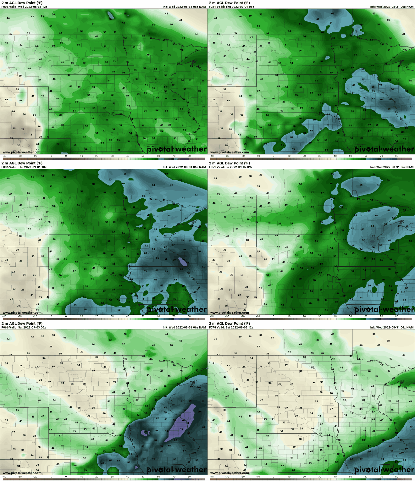
Thursday looks to be the warmest of the next few days with upper 80s across southern Minnesota and a few southwestern Minnesota spots hitting 90.

Cool front brings isolated thunder and pleasant weekend
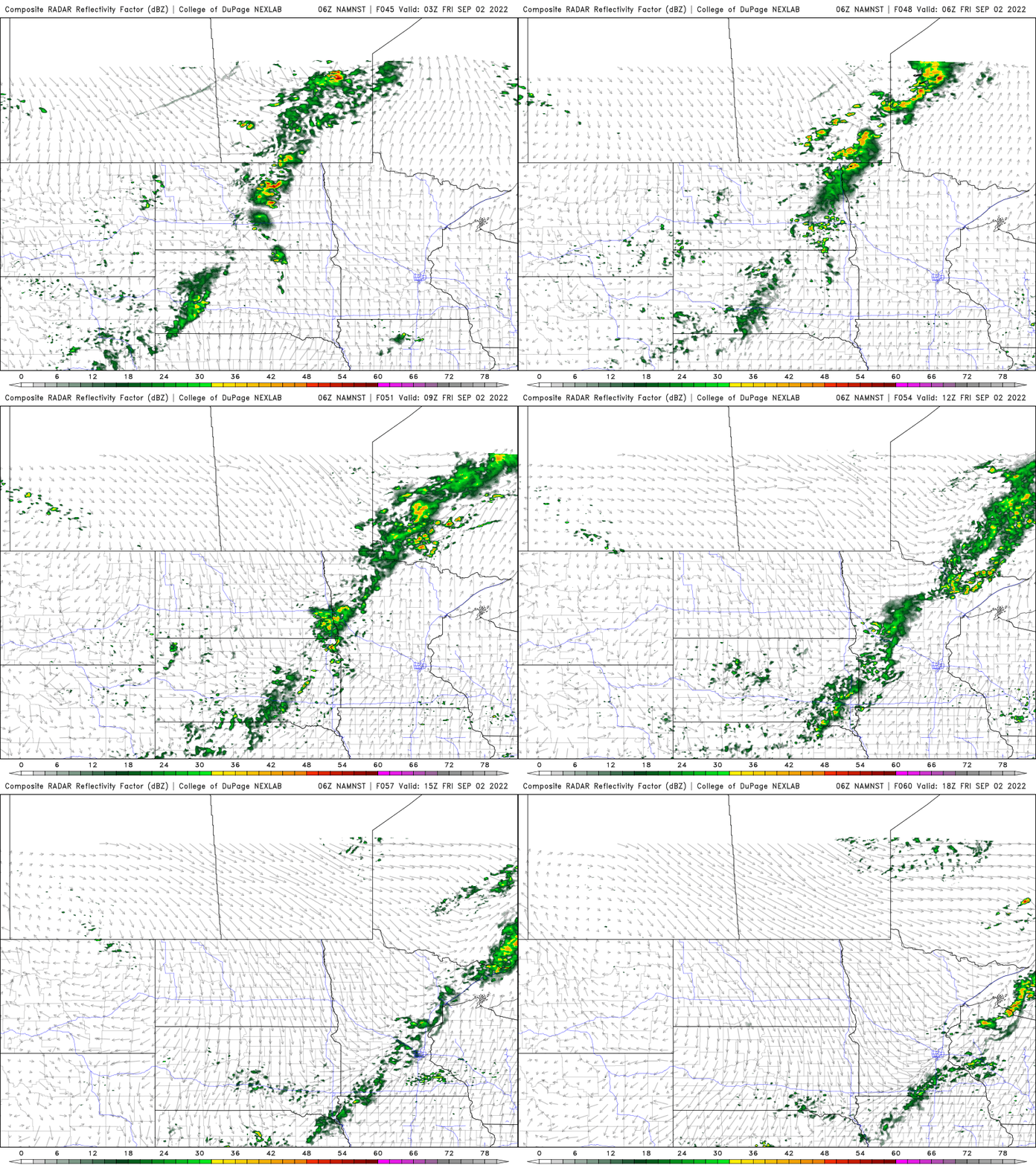
A cool front will touch off some isolated thunderstorms Friday as it sweeps across Minnesota. It doesn’t look like a real widespread soaking at this point but it’s our only chance over the next seven days.
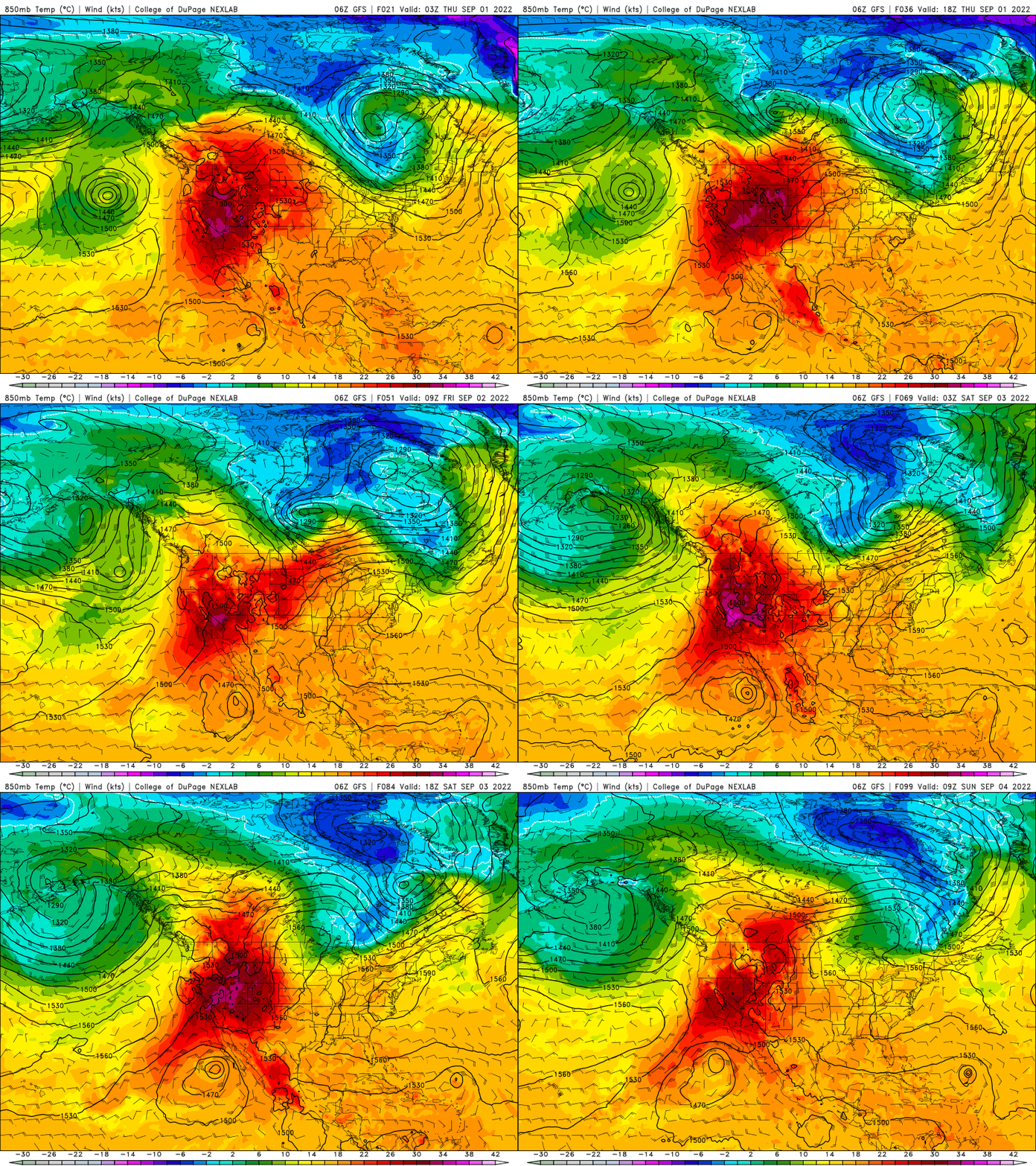
That blast of somewhat cooler air will push temperatures back into the 70s and low 80s for the holiday weekend but some heat looks to be building in back behind it possibly by the middle of next week.
Turn Up Your Support
MPR News helps you turn down the noise and build shared understanding. Turn up your support for this public resource and keep trusted journalism accessible to all.

