
Pleasant weather lingers through Labor Day
Dew points creep upward Monday afternoon
Go Deeper.
Create an account or log in to save stories.
Like this?
Thanks for liking this story! We have added it to a list of your favorite stories.


Our official Sunday morning low temp at Minneapolis-St. Paul International Airport was 52 degrees. That’s our chilliest temp at MSP airport since we hit 51 degrees on June 1. Many suburbs had lows in the 40s today, and there were many 40s across Minnesota and western Wisconsin. A few pockets of 30s and even some patchy fog were observed in parts of north-central and northeastern Minnesota.
Temps recover nicely today, with afternoon highs mainly in the 70s:

There will be some 60s in northeastern Minnesota.
Sunday afternoon dew points will be in the comfortable 40s and lower 50s:
Turn Up Your Support
MPR News helps you turn down the noise and build shared understanding. Turn up your support for this public resource and keep trusted journalism accessible to all.

Monday highs will be mainly in the 70s, with lower 80s possible in parts of far western Minnesota:

Dew points will creep upward into the upper 50s to lower 60s Monday afternoon.
No rain in sight
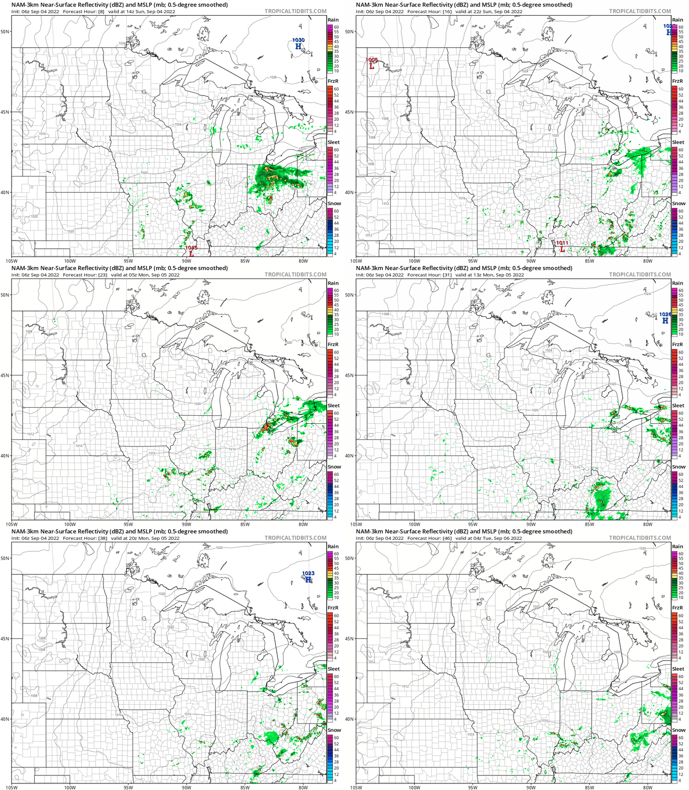
The National Oceanic and Atmospheric Administration’s North American Mesoscale (NAM) forecast model isn’t depicting any rain in Minnesota or western Wisconsin today or Monday:
Programming note
You can hear my live weather updates on MPR News at 7:35 a.m., 9:35 a.m. and 4:39 p.m. each Saturday and Sunday.

