
Summer heat, humidity return; western fires bring smoky skies
Becoming muggy, cooler by the weekend

Go Deeper.
Create an account or log in to save stories.
Like this?
Thanks for liking this story! We have added it to a list of your favorite stories.


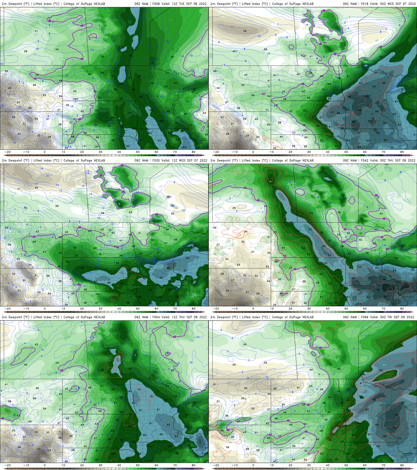
Heat and more humidity for the next few days. Highs will be back in the low to mid-80s Tuesday with highs close to 90 by Thursday. Cooler air and showers arrive Friday.
Summer heat returns
Highs are back in the 80s Tuesday and will be even warmer, in the upper 80s to near 90 Wednesday and Thursday as heat wafts back into the region from the west.

Muggy air also returns Tuesday and will linger into Thursday.
Cool front brings showers
Cooler air moves in late Thursday night. The slow-moving front will be the focus for scattered showers and some thunder Friday into even Saturday for some places southeast.
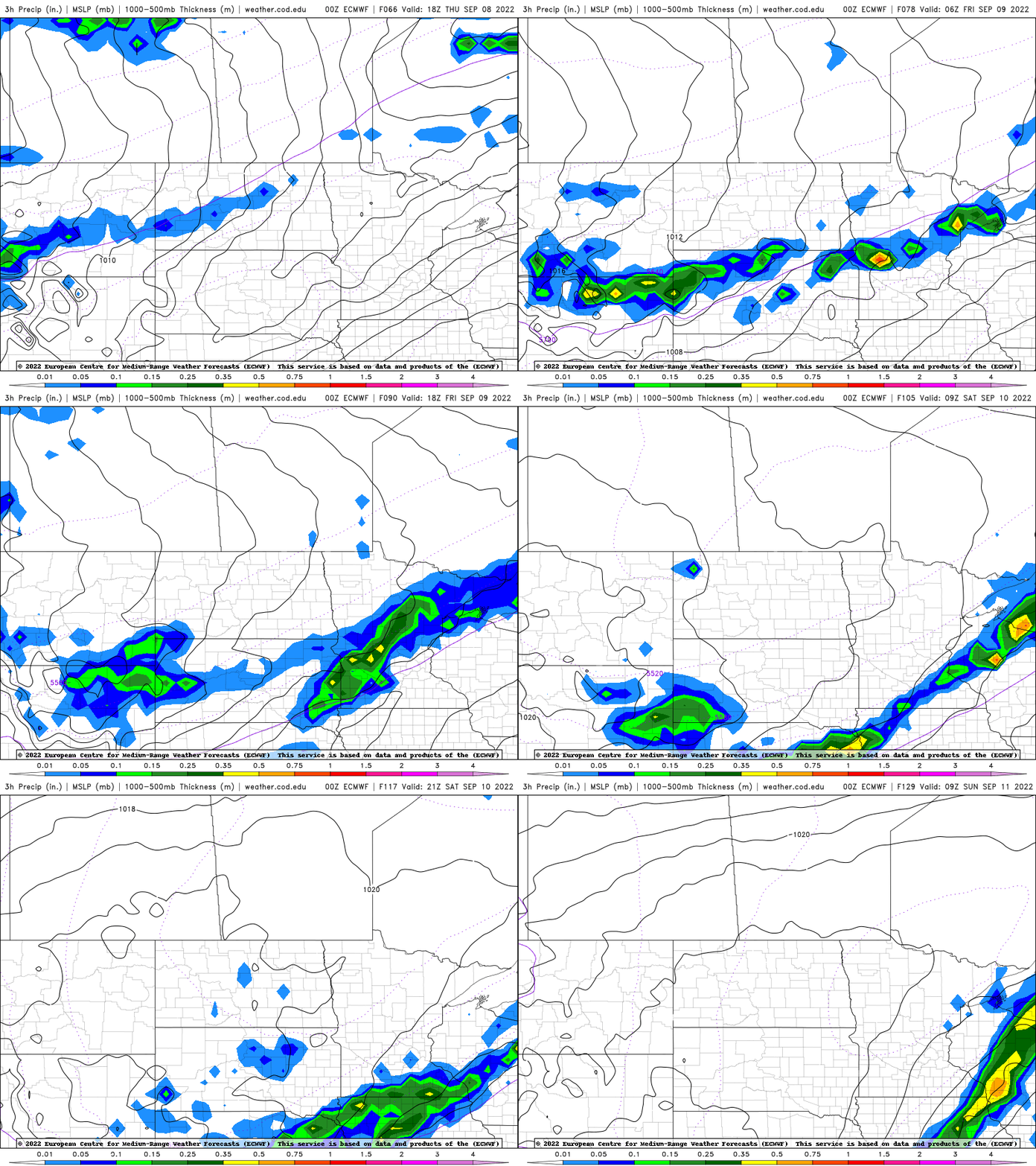
Cooler temperatures will settle in for the weekend behind the front also with highs in the 60s and 70s.

Wildfire smoke fills the skies
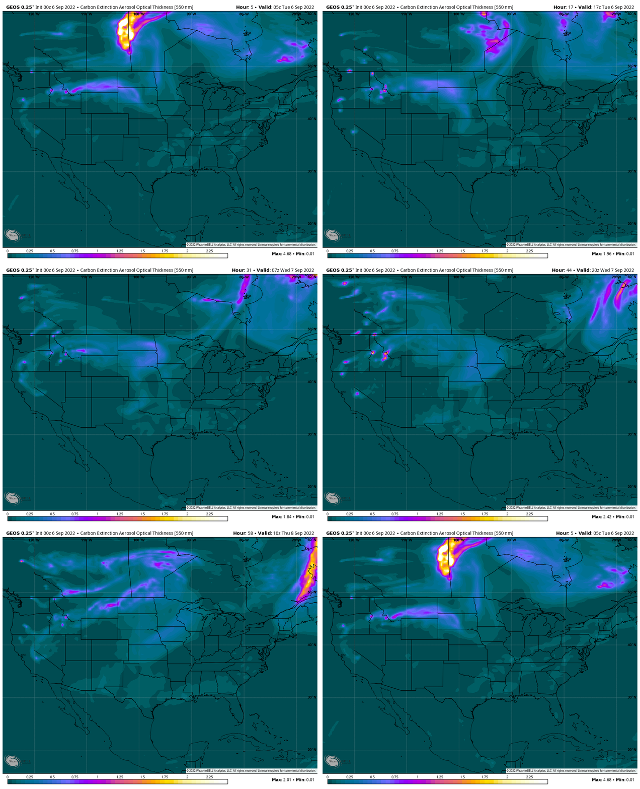
Smoke from western wildfires is present in Minnesota Tuesday but it’s pretty high aloft so air quality won’t be significantly affected.

NASA’s GEOS smoke model shows the smoke occasionally drifting in and out of Minnesota through the week.
Turn Up Your Support
MPR News helps you turn down the noise and build shared understanding. Turn up your support for this public resource and keep trusted journalism accessible to all.

