
Windy, cooler Wednesday with a few showers
Temperatures will be nearly 20 degrees colder Wednesday

Go Deeper.
Create an account or log in to save stories.
Like this?
Thanks for liking this story! We have added it to a list of your favorite stories.


It will be much cooler across Minnesota Wednesday with highs in the 40s north to low 60s south. We’ll have a few scattered showers also. Northwest winds at 10-20 mph will cool it off even more into Thursday.
Warm Tuesday recap
Tuesday’s high temperature of 80 degrees in the Twin Cities was nearly 20 degrees warmer than the normal high of 61. It was the latest 80-degree reading since 2015 and only the third time since 2000 we’ve had one this late. Here’s a list of 80-degree days this late or later in the season in the past 25 years:
October 11, 2022
Turn Up Your Support
MPR News helps you turn down the noise and build shared understanding. Turn up your support for this public resource and keep trusted journalism accessible to all.
October 11, 2015
October 11, 2010
October 19, 2000
October 11, 1997
It was even hotter in southwest Minnesota. Granite Falls was 85 and it was 83 in Marshall with several other places hitting the 80-degree mark.
Windy, few showers and cooler Wednesday
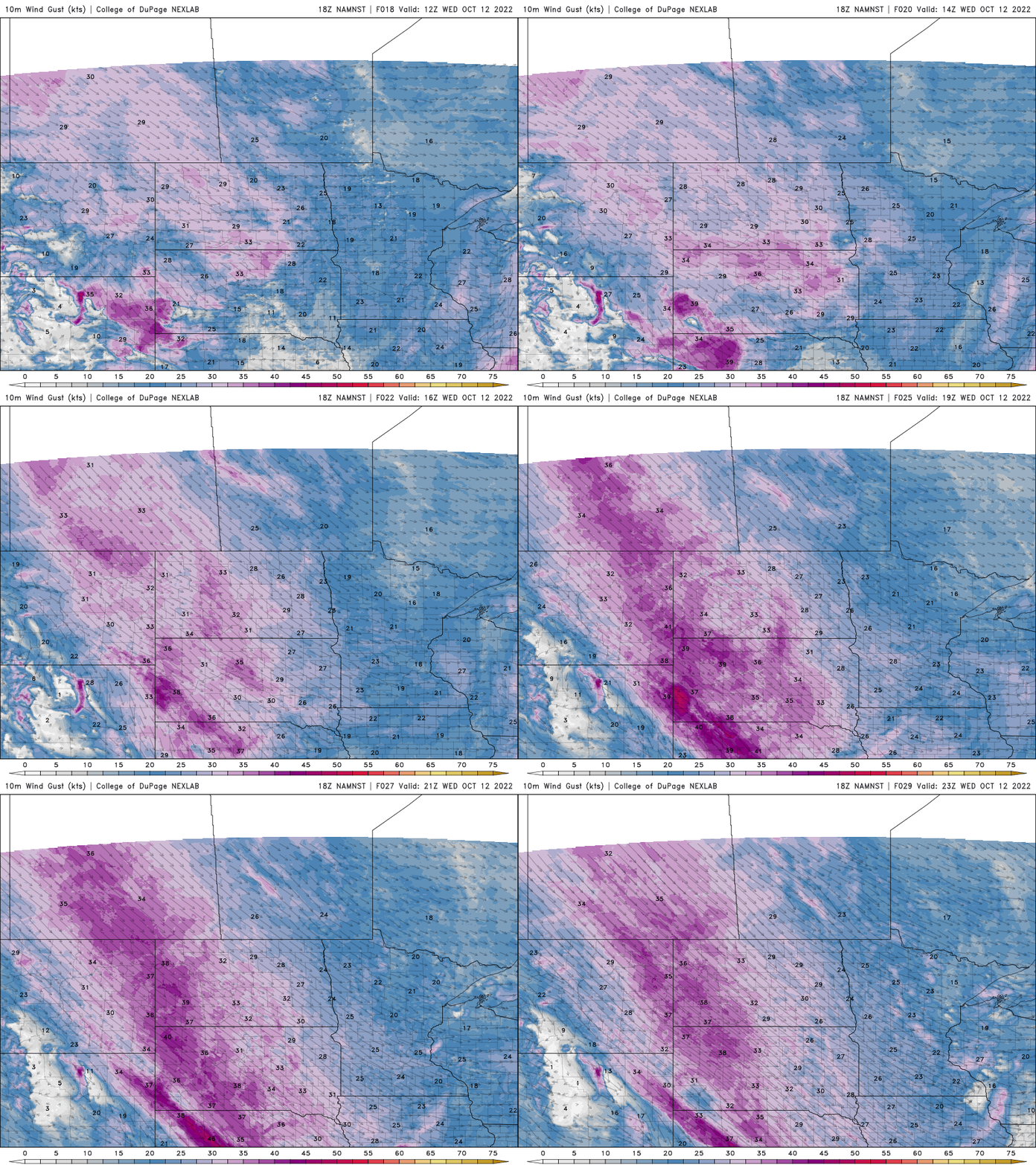
Wednesday will be a day of transition to more typical, chilly October air. We’ll see highs in the 50s to low 60s in southern Minnesota and just 40s in northern Minnesota. Winds will be gusty from the west/northwest through the day.
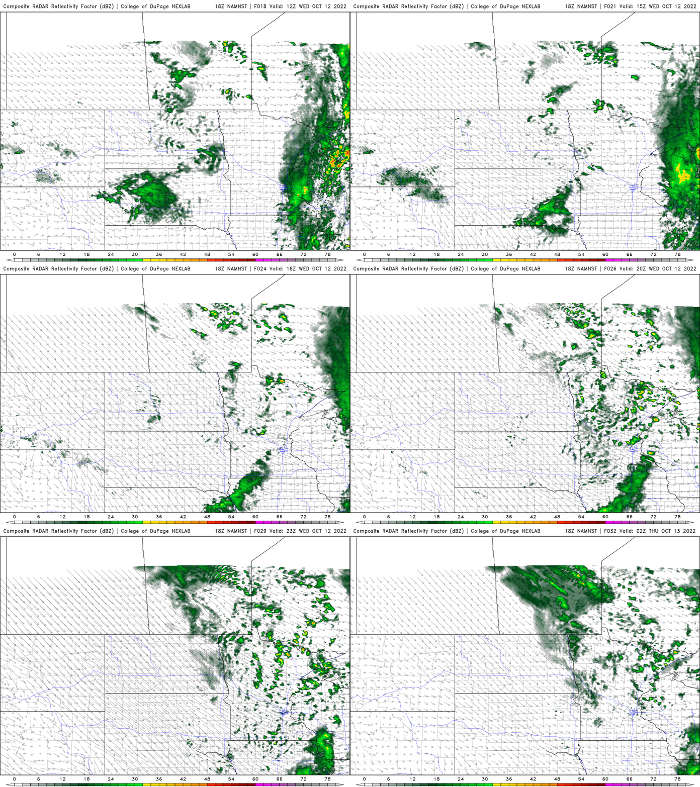
Look for a few scattered, ‘pop-up’ instability showers as well, especially in the afternoon.
Even chillier ahead
Thursday and Friday will bring even cooler high temperatures, mainly in the 40s and low 50s, possibly only even upper 30s in far northern Minnesota.

Overnight lows will also drop to frigid readings in the 30s south and 20s north. The overall chilly pattern is sticking around into much of next week also.

