
Falling temperatures Monday; seasonable week ahead
Mainly cloudy with a few isolated showers Monday
Go Deeper.
Create an account or log in to save stories.
Like this?
Thanks for liking this story! We have added it to a list of your favorite stories.


A warm morning Monday with temperatures dropping from the 60s into the 50s. It will be mainly cloudy with isolated showers or a thunderstorm. Monday night will be colder with lows in the 30s to near 40. Sunshine returns Tuesday with seasonable temperatures in the 50s south, 40s north.
Cooler air moves back in Monday
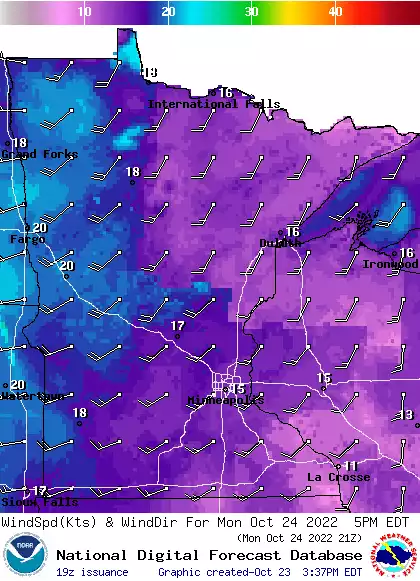
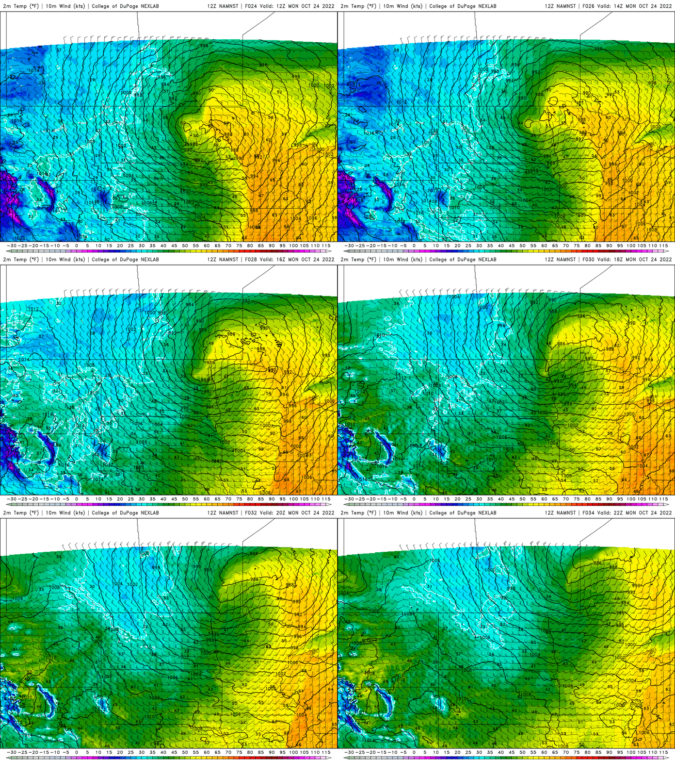
After the warmest air this late in the season in 30 years, including a record warm low temperature early Sunday of 59 degrees, cooler air is sweeping back across Minnesota. Our high temperature will be in the 60s this morning and midday and then fall this afternoon into the 50s.
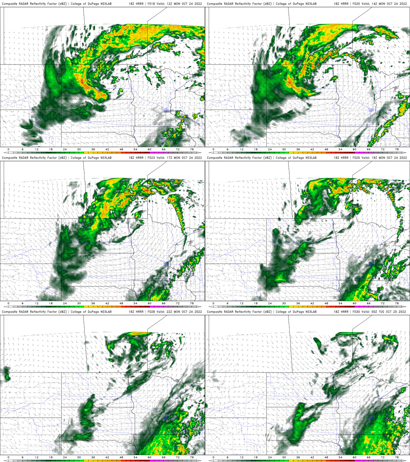
We’ll have a few isolated showers or a thunderstorm, but otherwise most of us will remain mainly dry under mostly cloudy skies.
Overnight Monday night temperatures will dip to more typical readings in the 30s to near 40 degrees in the Twin Cities.

Seasonable temperatures then milder again
Tuesday will see the return of sunshine along with Wednesday. High temperatures will be closer to normal, in the 50s south and 40s north, with overnight lows in the 30s and 20s.

There’s a slight chance of a few showers Thursday then temperatures are warming back up some to near 60 degrees Friday into the weekend across southern Minnesota.
Turn Up Your Support
MPR News helps you turn down the noise and build shared understanding. Turn up your support for this public resource and keep trusted journalism accessible to all.

