
More clouds with a few showers Thursday then warming up
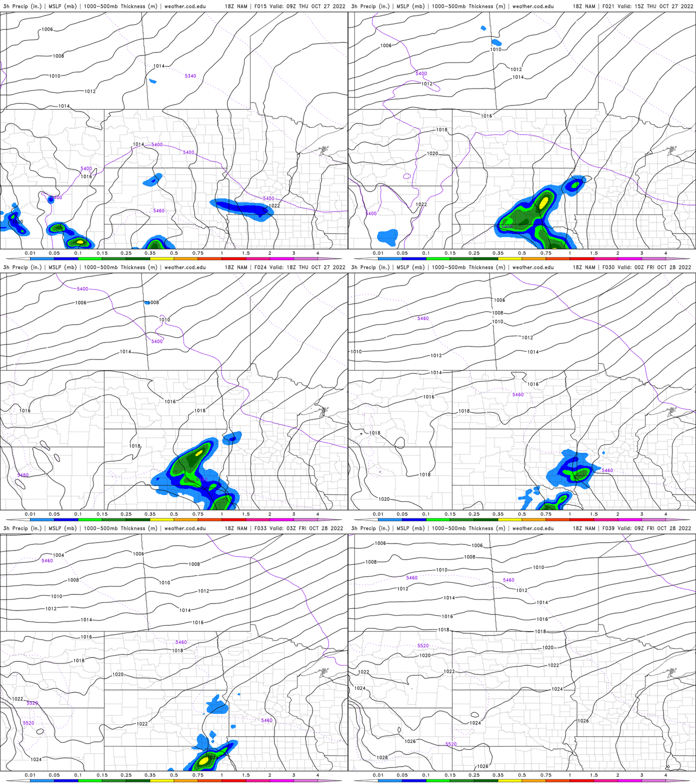
Rainfall will mainly be confined to southwest Minnesota

Go Deeper.
Create an account or log in to save stories.
Like this?
Thanks for liking this story! We have added it to a list of your favorite stories.


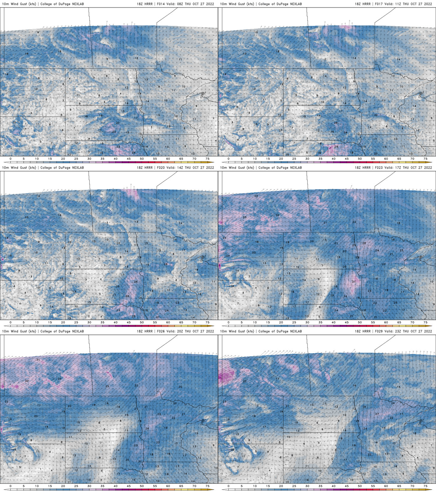
Increased cloud cover and a few light showers are possible Thursday, mainly in southwest Minnesota. Highs will be well into the 50s despite the clouds. It will be more breezy, from the southeast at 10-15 mph.
Minor disturbance brings clouds and few showers
Along with increased cloud cover, we’ll have the chance of a few stray light showers, most of which will be in southwest Minnesota. The southwest corner of the state could even see a little measurable precipitation, but generally under a tenth of an inch.
High temperatures will be warmer, despite the clouds, well into the 50s across southern Minnesota with pockets of 40s still in northeast Minnesota. The breeze will be a bit higher after a couple of calm days, from the southeast at 10-15 mph.
Warm weekend; colder and stormy late next week?
Highs should top out near 60 in southern Minnesota Friday and into the 60s over the weekend.

We’ll also see a fair amount of sunshine through the weekend. The jet stream is shifting late next week to potentially produce a storm system somewhere in the upper Midwest (though we’ve learned not to get our hopes up) with a cooling trend late in the week into next weekend also.
Turn Up Your Support
MPR News helps you turn down the noise and build shared understanding. Turn up your support for this public resource and keep trusted journalism accessible to all.

