
Unusually warm through most of next week; very mild Halloween
Dry weather overall continues

Go Deeper.
Create an account or log in to save stories.
Like this?
Thanks for liking this story! We have added it to a list of your favorite stories.


Friday begins a streak of mild days. Highs will be in the low to mid-60s across southern Minnesota with clouds moving out early. Temperatures remain 10 to 20 degrees above normal into next week and mainly dry.
Mild weekend with sunshine
Friday kicks off quite the stretch of mild weather. We’ll look for increasing sun as the last cloud move out. Highs will be in the 60s across southern Minnesota and 50s north. Saturday will be even a bit warmer with more sunshine.

Sunday may be just a few degrees cooler but still well above normal.

Warmth persists into much of next week
Most of next week looks to be 10 to 20 degrees above normal for temperatures.
Turn Up Your Support
MPR News helps you turn down the noise and build shared understanding. Turn up your support for this public resource and keep trusted journalism accessible to all.
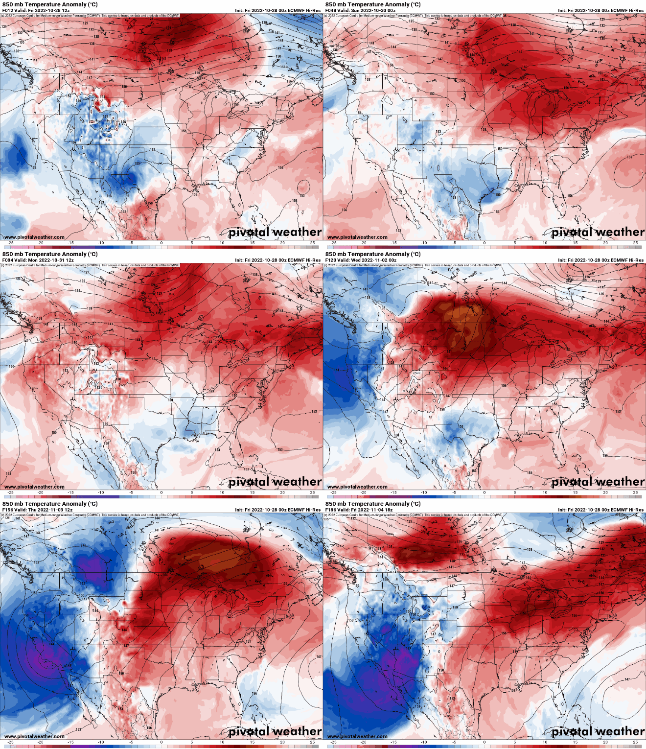
Halloween could be our warmest in 22 years in the Twin Cities. On Oct. 31, 2000, we saw a high of 71 degrees. Since then the warmest Halloween has been 62 degrees.
Dry weather persists
Unfortunately, the pattern remains dry as well into the middle of next week.

The models have hinted at a possible late-week storm, but the track and intensity have varied greatly and are now trending away from Minnesota again. Here’s an example of the shift in intensity from the European Centre for Medium-Range Weather Forecasts computer model:

The extent of the drop in temperatures for late next week is also in question with the shifting storm tracks.

