
Potential record warmth followed by soaking rains, cooler temperatures
Highs will be near 70 Tuesday and in record territory Wednesday

Go Deeper.
Create an account or log in to save stories.
Like this?
Thanks for liking this story! We have added it to a list of your favorite stories.


High will be in the 60s and even low 70s Tuesday with warmer temperatures Wednesday, in the mid-70s across southern Minnesota. A significant storm system could bring soaking rains Thursday night into the weekend.
Record warmth?
It may be November but it will feel more like September or May. Highs will be near 70 degrees Tuesday afternoon in the Twin Cities, 20 degrees warmer than normal. Wednesday will be even warmer with highs in the mid-70s for much of southern Minnesota.
The record high for Nov. 2 in the Twin Cities is 72 degrees set back in 1978 and it looks as though we could easily break it.

Thursday will once again be near 70. If we hit three days in the 70s, that would tie for the second-highest number of 70s in the month of November. The record is five, set in 2020.
Turn Up Your Support
MPR News helps you turn down the noise and build shared understanding. Turn up your support for this public resource and keep trusted journalism accessible to all.
Significant storm system brings rain
The odds are increasing for a significant, soaking rainfall for much of Iowa into southeastern Minnesota and Wisconsin.
The first round of showers develops Thursday night along a cold front with lingering showers into Friday. Another surge of moisture moves north Saturday into Saturday night.
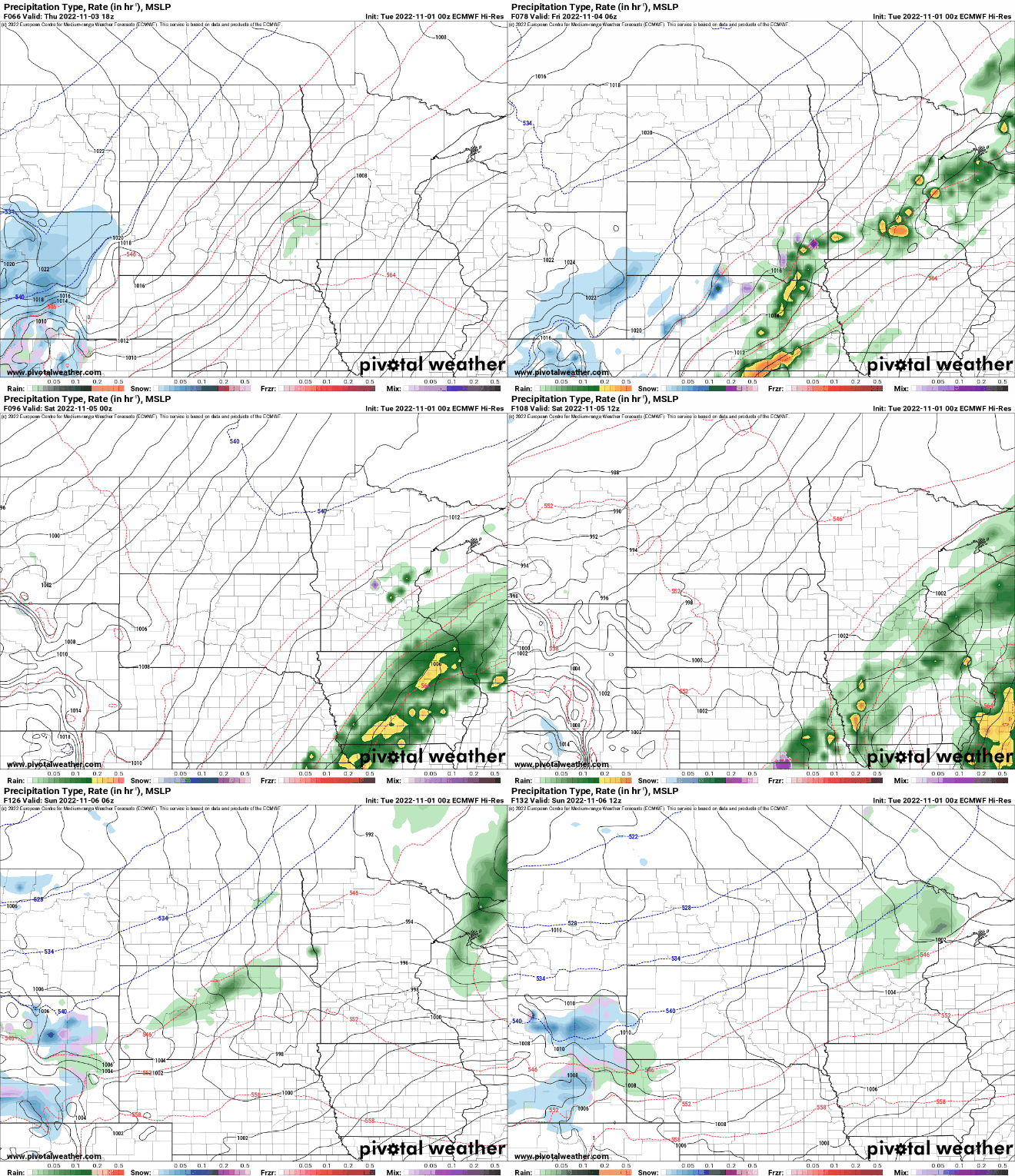
Most of the models now agree on placing the heaviest swath of precipitation amounts in Iowa into southeastern Minnesota.

This would place the higher amounts just east of the extreme drought regions of Minnesota.

Behind the cold front and storm system temperatures will cool to more seasonable readings, in the 40s and low 50s.


