
Colder Friday; next round of moisture clips southeast Minnesota
Temperatures will be a full 20 degrees colder Friday and Saturday

Go Deeper.
Create an account or log in to save stories.
Like this?
Thanks for liking this story! We have added it to a list of your favorite stories.


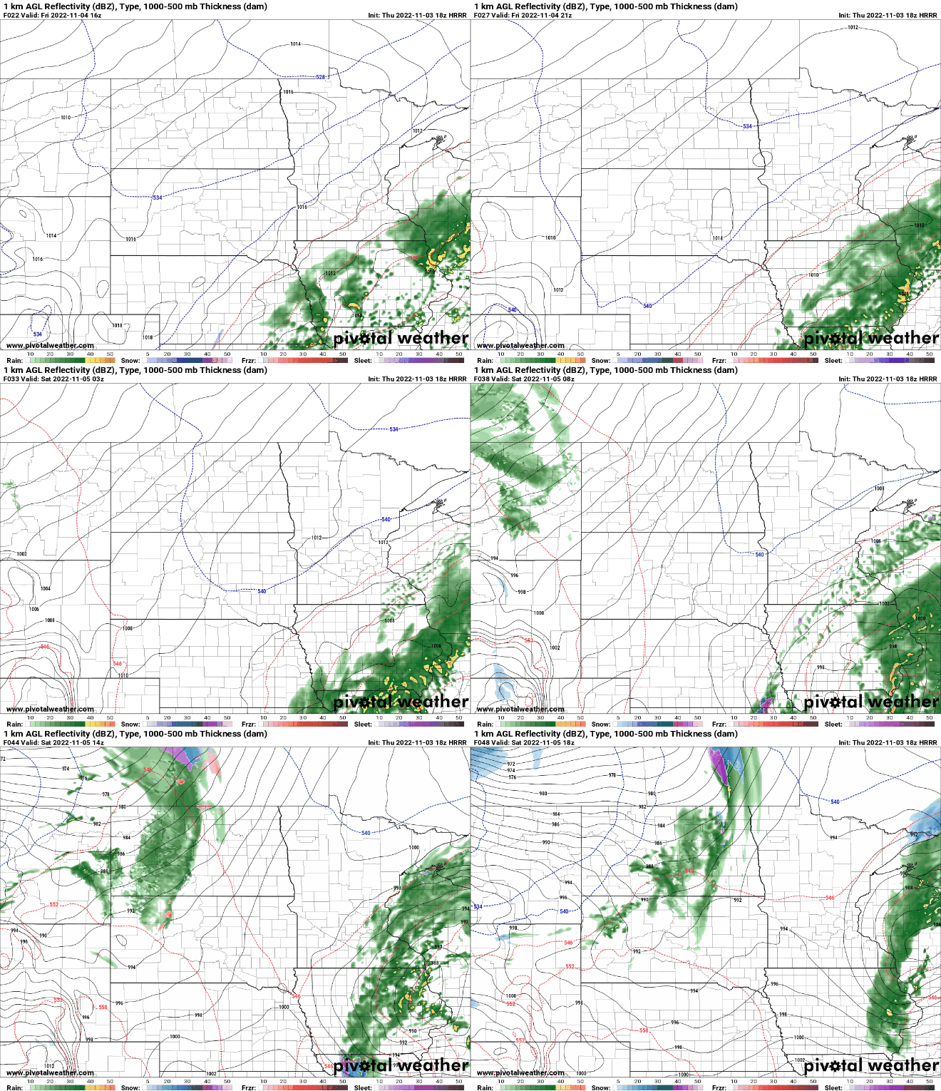
Friday will be cooler, cloudy with temperatures holding in the 40s and even upper 30s in northeast Minnesota. Another round of showers will move up from the south Friday night into Saturday affecting mainly southeast Minnesota.
Cooler, cloudy Friday before more showers
After some showers overnight Thursday night into early Friday, we’ll be in for a mainly cloudy, cool break during the day Friday. Highs will be about 20 degrees colder than Thursday, primarily in the 40s.

Despite being colder, Friday’s temperatures are actually within a couple degrees of normal for Nov. 4 but temperatures are a good 20 degrees colder than Thursday.

The next surge of moisture will move up from the south out of Iowa and pushing through southeast Minnesota into Wisconsin Friday night into Saturday. The Twin Cities area will be on the edge of these showers. There are even pockets of snow showers possible on the western edge Saturday.
Sunday will see skies clear and temperatures will be back above normal in the 50s south and 40s north.
Turn Up Your Support
MPR News helps you turn down the noise and build shared understanding. Turn up your support for this public resource and keep trusted journalism accessible to all.

