
More snow showers; much colder Thursday and Friday
Temperatures will continue well below normal

Go Deeper.
Create an account or log in to save stories.
Like this?
Thanks for liking this story! We have added it to a list of your favorite stories.


Occasional snow showers will continue, especially Wednesday night into Thursday again as colder air blasts across Minnesota into Friday and Saturday.
Highs will be in the low 30s Wednesday but will drop into the teens Friday. Wind chills will be below zero by Thursday night nearly statewide.
More snow showers possible
Snow showers continue to rotate around an upper level low Wednesday into Thursday.
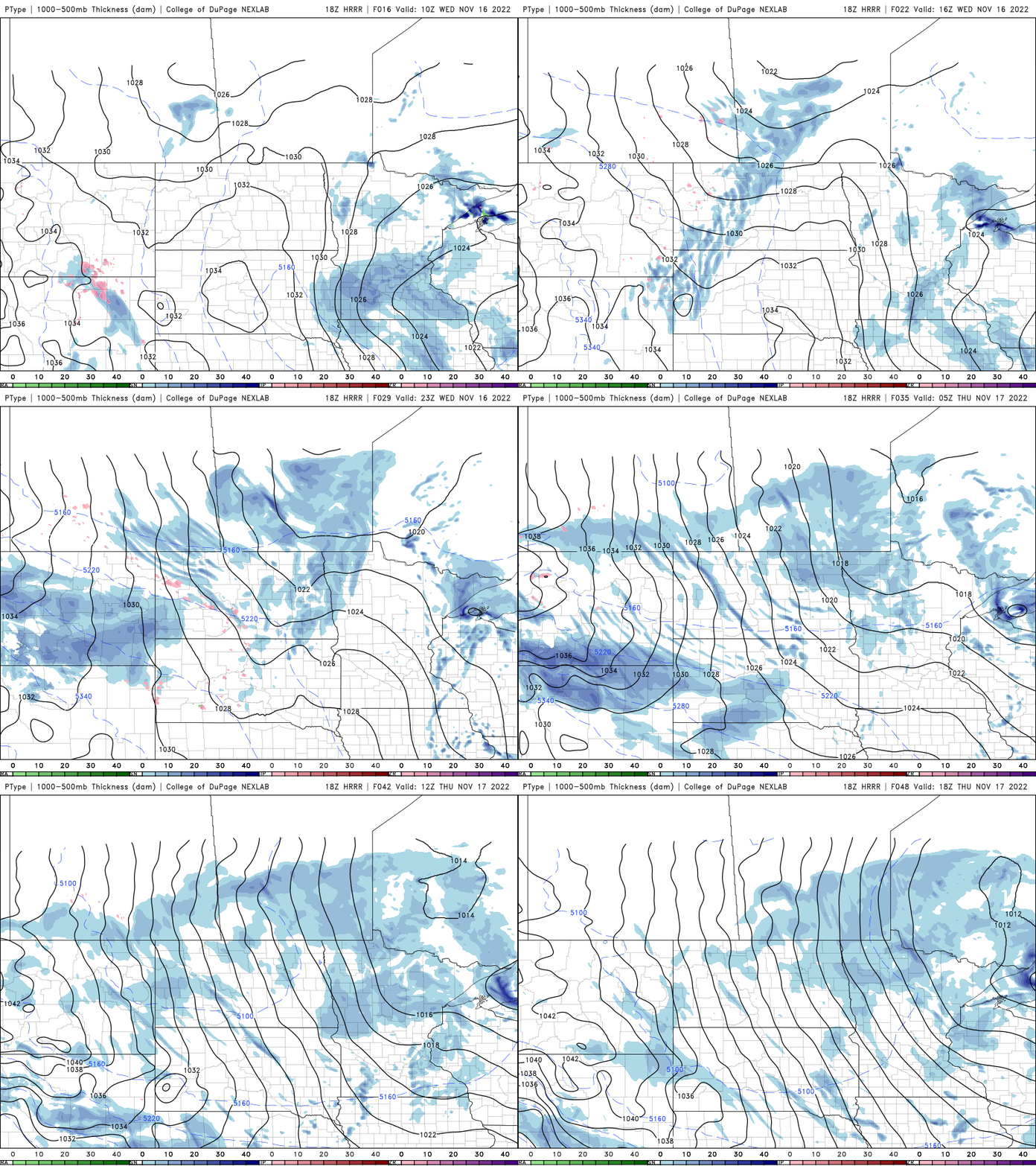
During the day Wednesday most of the steady snow showers will mainly be confined to the North Shore. Portions of the North Shore can expect several more inches of snow through Friday.
Turn Up Your Support
MPR News helps you turn down the noise and build shared understanding. Turn up your support for this public resource and keep trusted journalism accessible to all.

We’ll see another batch of snow showers develop Wednesday night into Thursday ahead of cold air moving in for Friday into the weekend.
Unseasonably cold blast Thursday into Saturday
Wednesday will be the milder day of the next several despite being colder than normal.

Colder air moves in starting Thursday and really settles in Friday into the weekend. Highs will be only in the teens Friday.

By early Friday morning we’ll have quite the shock with subzero wind chills for most.


