
One more cold night then a much warmer pattern develops
The next system Thursday could bring rain and snow to Minnesota

Go Deeper.
Create an account or log in to save stories.
Like this?
Thanks for liking this story! We have added it to a list of your favorite stories.


Temperatures will slip to near zero and just below across most of Minnesota Monday night but it will be the last one for a while. Temperatures will be near normal, in the 20s Tuesday and above freezing for most by Wednesday.
Last subzero night for a while
It’s been quite the cold stretch the past 7 days across Minnesota. Most of the state has been averaging temperatures 10 to 25 degrees colder than normal.

We have one more subzero night Monday night and that will be it for a while it looks like, even in northern Minnesota.

Warmer air ahead and possible rain, snow Thursday
Tuesday will bring temperatures finally near normal again with highs well into the 20s for most of Minnesota. Southwest Minnesota will already see some low 30s and northeast Minnesota may stay just below 20.

Look for even warmer high temperatures Wednesday with widespread 30s. We’ll have increased cloud cover as well however midweek as warmer air streams in.

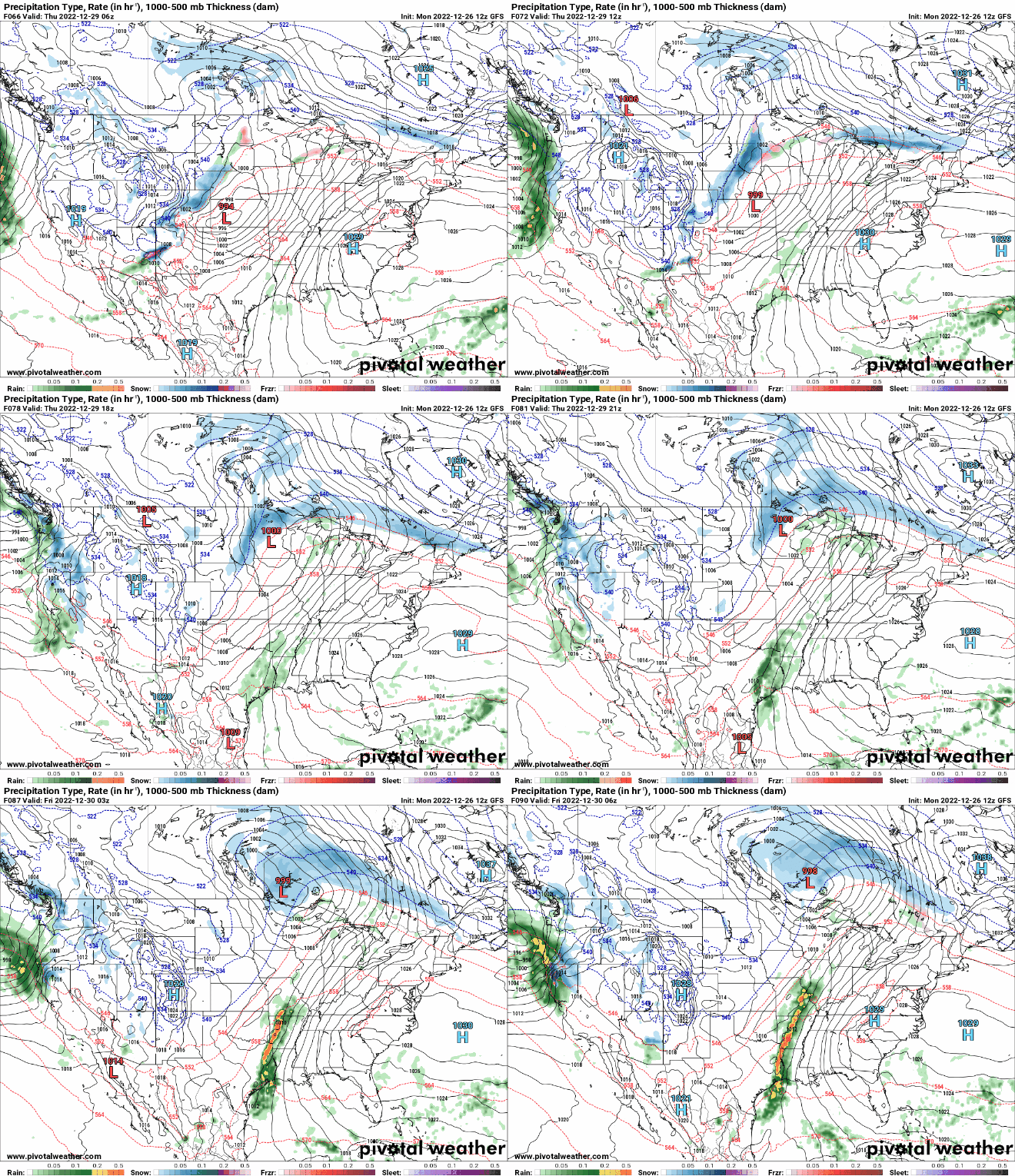
The next storm system could bring a few rain showers to southeast Minnesota Thursday into Thursday night while northwest Minnesota will be cold enough for a potential swath of snowfall accumulations.
Turn Up Your Support
MPR News helps you turn down the noise and build shared understanding. Turn up your support for this public resource and keep trusted journalism accessible to all.

