
Even warmer Wednesday with a wintry mix developing in some places
Rain and snow showers will be possible Thursday

Go Deeper.
Create an account or log in to save stories.
Like this?
Thanks for liking this story! We have added it to a list of your favorite stories.


Much of Minnesota will be above freezing Wednesday. Freezing drizzle and light rain will be possible north with a wintry mix possible Wednesday night into Thursday across portions of the state.
Above-freezing high temperatures Wednesday and Thursday
Wednesday will see high temperatures above freezing for most of Minnesota yielding a nice opportunity to thaw out some. Cloud cover has returned however and will be with us through likely Friday morning. Temperatures will be 10 or more degrees warmer than normal for a change.

Some freezing drizzle and a wintry mix of precipitation could develop primarily for northern portions of Minnesota Wednesday.
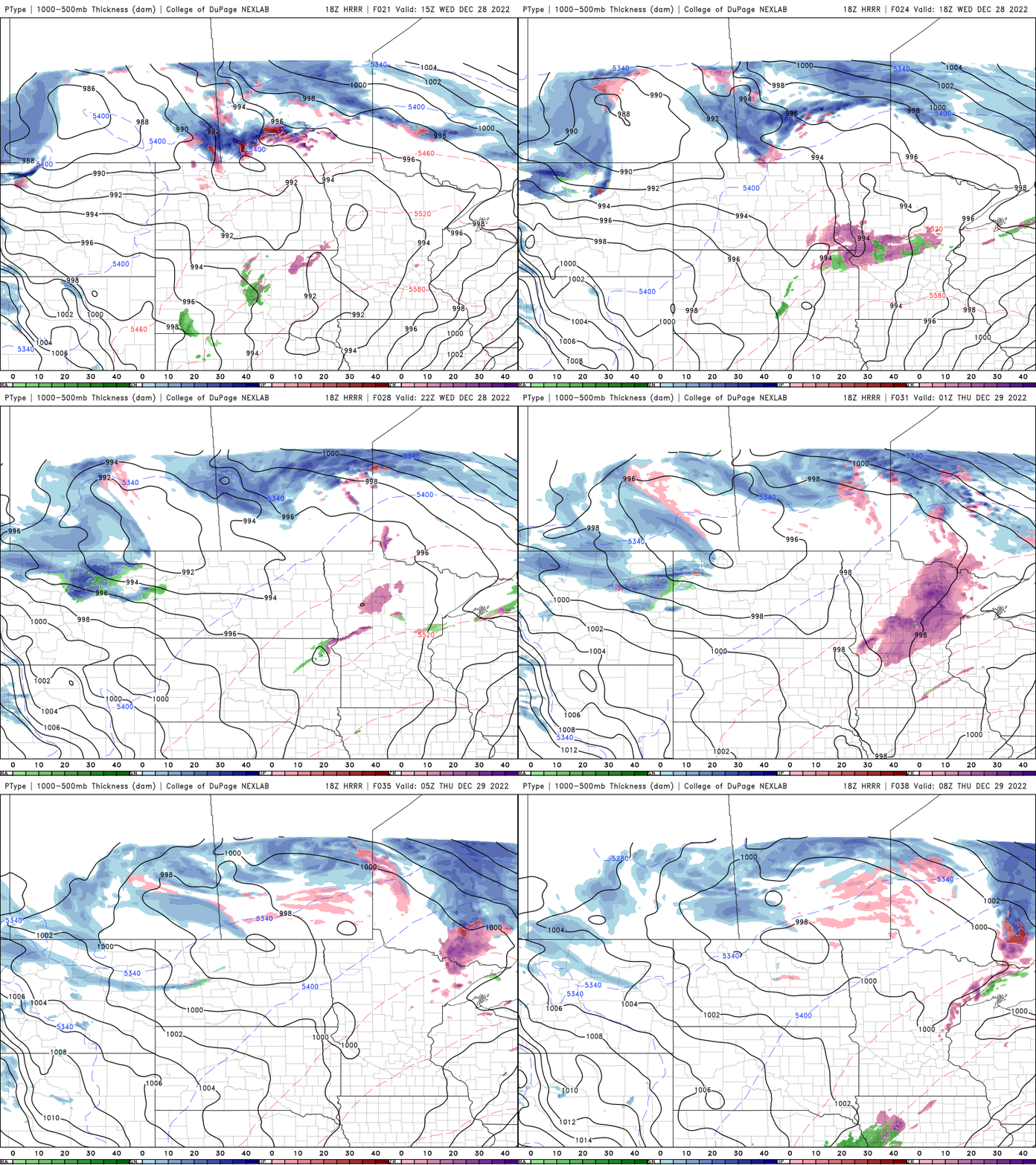
A wintry mix of precipitation develops
Overnight Wednesday night, southern Minnesota will see temperatures drop to near or above freezing while northern Minnesota will be just below the freezing mark.

Specific temperatures will matter as drizzle and light rain showers potentially develop. Where temperatures are subfreezing, a light icy coating is possible. We’ll have scattered rain and snow showers into Thursday night, turning to mainly snow.
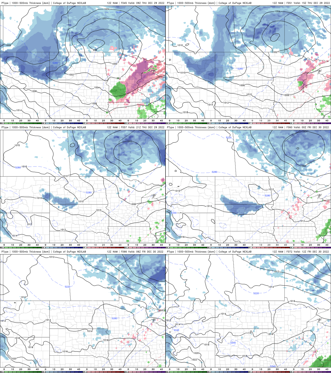
Snowfall accumulations will be possible in a narrow band late Thursday into Thursday night for portions of Minnesota.

Turn Up Your Support
MPR News helps you turn down the noise and build shared understanding. Turn up your support for this public resource and keep trusted journalism accessible to all.

