
A wintry mix of precipitation Thursday; colder Thursday night
Overall the mild pattern continues

Go Deeper.
Create an account or log in to save stories.
Like this?
Thanks for liking this story! We have added it to a list of your favorite stories.


Rain, snow and some freezing precipitation move through Thursday. It will still be mild with highs in the 30s southeast to around 20 in the northwest. It’ll be colder Thursday night with lows in the teens and even subzero in northwest Minnesota.
A mixed bag of precipitation moves through Thursday
We have areas of fog and some freezing drizzle and freezing fog in portions of northern and western Minnesota early Thursday. Some freezing precipitation is possible where temperatures are below freezing, but for most we’ll see a mix of some light rain showers and snow into Thursday night.

A narrow area of snowfall accumulation will swipe across Minnesota from southwest to northeast.

It will still be mild Thursday with highs in the 30s but colder air moves into northwest Minnesota. Highs there will be in just the low 20s.

It will be a bit colder Thursday night behind the system, especially in northwest Minnesota where a few spots could be near or slightly below zero.

A mild weekend with another storm next week
New year’s eve will be relatively mild with some scattered snow showers possible. Here’s a look at temperatures near midnight across Minnesota Saturday night:

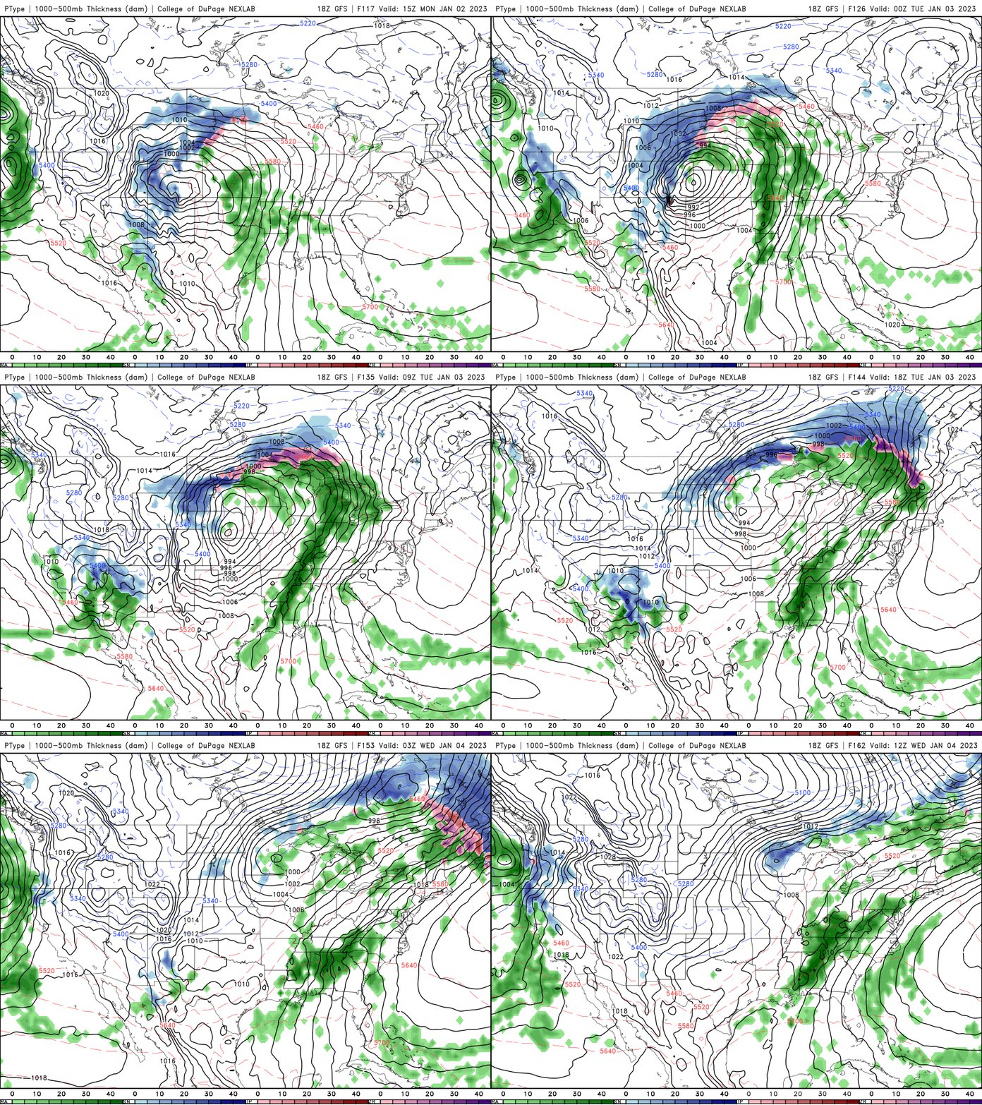
Another potent storm system is possible Monday into Tuesday next week. Some areas could see rain while others could see very heavy snowfall.
Turn Up Your Support
MPR News helps you turn down the noise and build shared understanding. Turn up your support for this public resource and keep trusted journalism accessible to all.

