
Cooler Friday, quiet weekend; big storm developing next week
Recent thaw took a bite of Minnesota's snowpack

Go Deeper.
Create an account or log in to save stories.
Like this?
Thanks for liking this story! We have added it to a list of your favorite stories.


Highs Friday will be near or slightly below normal in the teens and 20s across Minnesota with decreasing clouds. The weekend will be quiet, but early next week a big storm develops that could bring snow, rain and freezing precipitation.
Thaw took a bite out of the snow pack, now it’s briefly cooler
Temperatures are about 10 to 20 degrees colder Friday morning compared to Thursday morning. We’ll see highs in the teens and low 20s across Minnesota Friday afternoon.

Overnight lows will once again be in the teens and single digits, but close to normal lows.

This week’s thaw cut 3 inches of snow depth in the Twin Cities, while St. Cloud and Duluth lost 1 inch. Here’s a view of the snowpack at the start and end of this week:
Turn Up Your Support
MPR News helps you turn down the noise and build shared understanding. Turn up your support for this public resource and keep trusted journalism accessible to all.

Note the retreat of the snow on the southeastern edge in southern Wisconsin also.
Milder weekend; big storm next week
After colder temperatures Friday, milder temperatures slide back into at least southern Minnesota for the weekend.
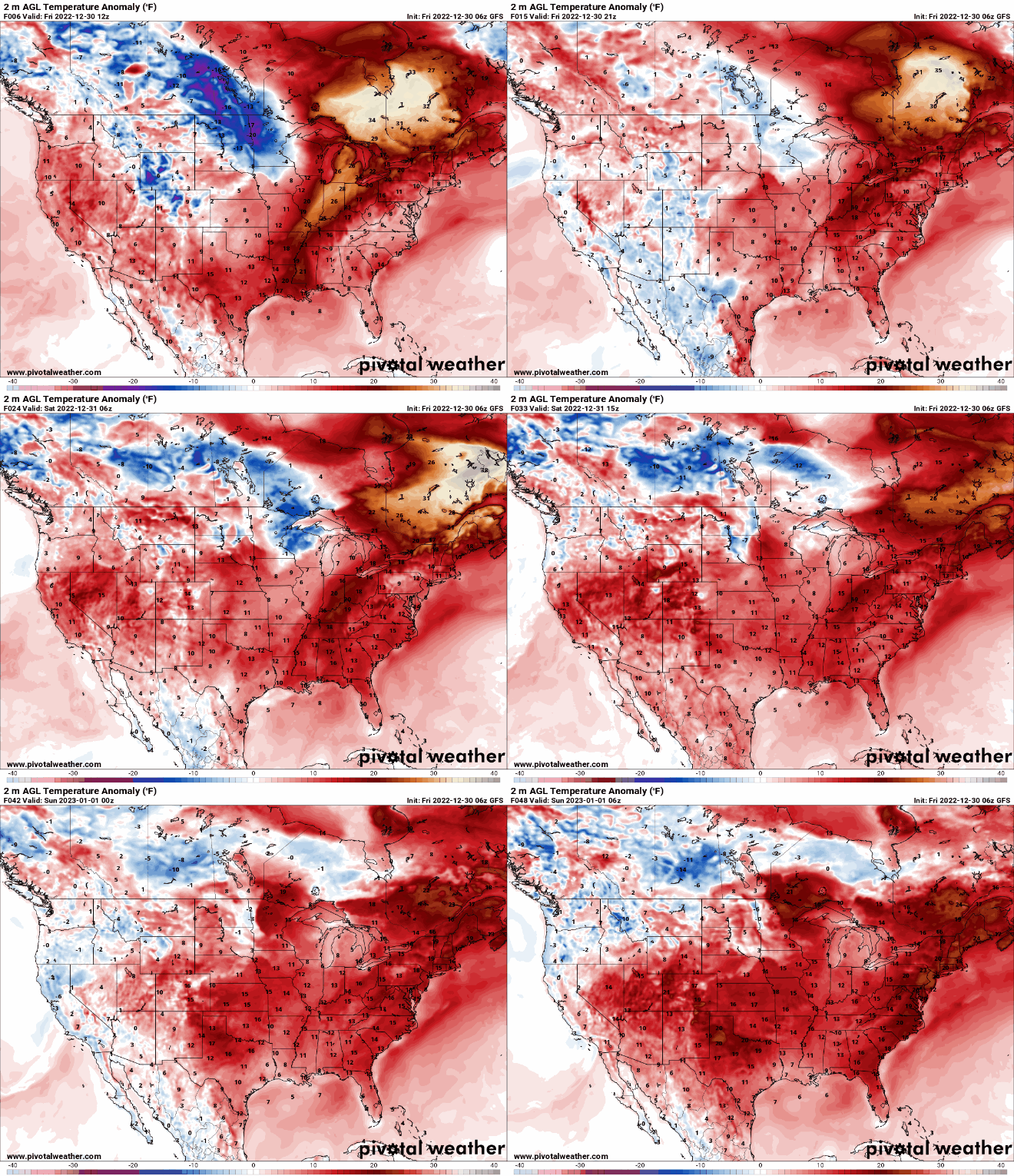
High temperatures will be back in the 30s across southern Minnesota and 20s in northern Minnesota.

We could have a few scattered light snow showers on New Year’s Eve, but it looks mostly like a dusting.

The bigger story will become the developing storm system for Monday into Wednesday next week. A large storm system with lots of moisture content will have the potential to create a lot of rain and heavy snow for the Upper Midwest.
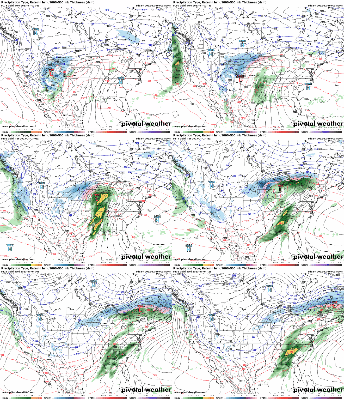
The track is still very uncertain as the models differ substantially and with warm air around, every mile will count. Here’s an example:

The National Oceanic and Atmospheric Administration’s Global Forecast System model (top) has snow much farther north into northern Minnesota with rain across southeastern Minnesota, while European and Canadian models have the swath snow south.
All the models create an area of possible ice in between the snow and rain.

