
Cooler Friday with milder air returning this weekend; uncertain storm track next week
Mainly 20s and teens for highs Friday

Go Deeper.
Create an account or log in to save stories.
Like this?
Thanks for liking this story! We have added it to a list of your favorite stories.


We’ll have one cooler day Friday with temperatures near normal; primarily in the 20s south and teens in northern Minnesota. We’ll also see some sunshine once again. Milder air moves back into southern Minnesota Saturday.
Brighter and briefly cool
Temperatures are colder early Friday in the teens, single digits and even some subzero readings north. High temperatures Friday will be near normal, but cooler than the previous few days. Expect afternoon temperatures mostly in the 20s with teens north. We’ll also have sunshine before clouds roll in yet again Saturday.
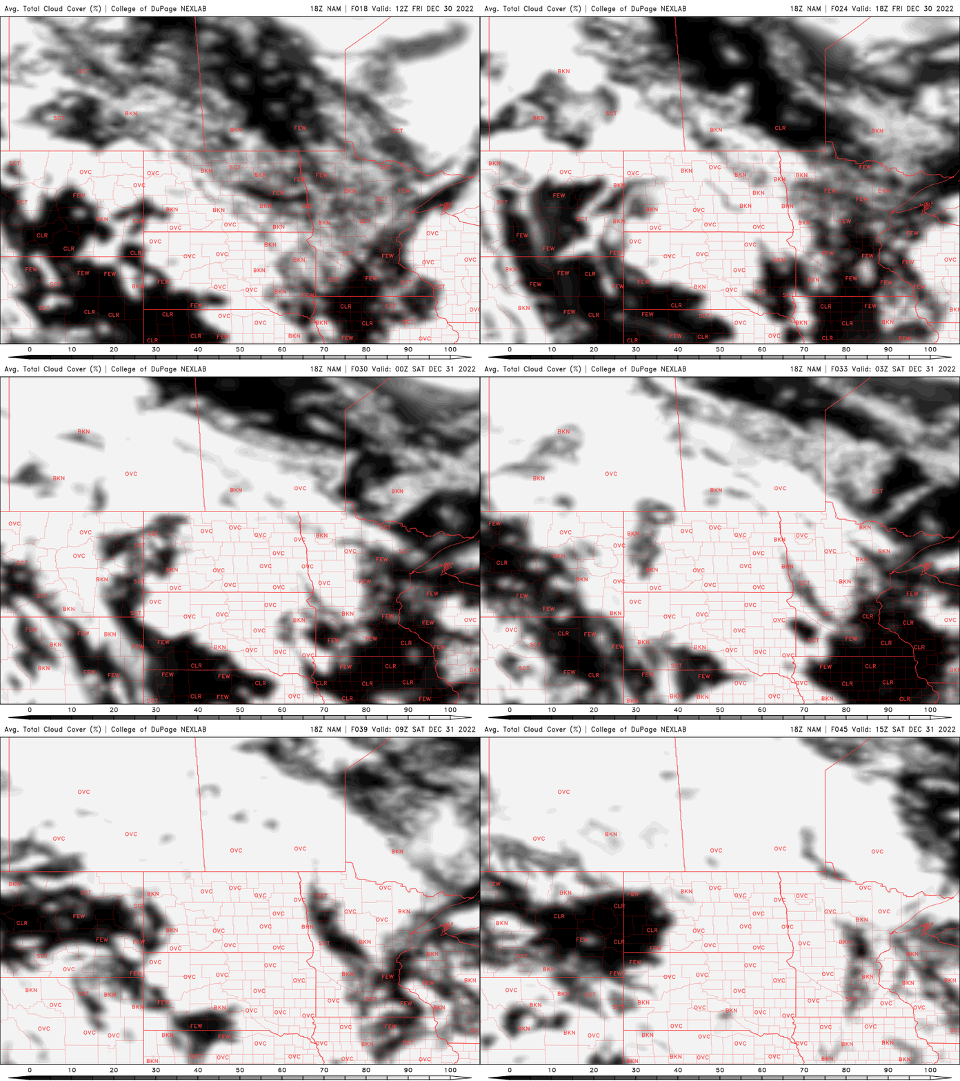
It’ll be a cooler night again Friday night with lows primarily in the teens south and single digits north.

A mild weekend, varying possibilities for next week’s storm
Milder air already returns Saturday and Sunday across southern Minnesota with highs mostly in the 30s. Northern Minnesota will be somewhat cooler, in the 20s.

We’ll see a few possible snow showers on New Year’s Eve but otherwise, the weekend will be mostly quiet.
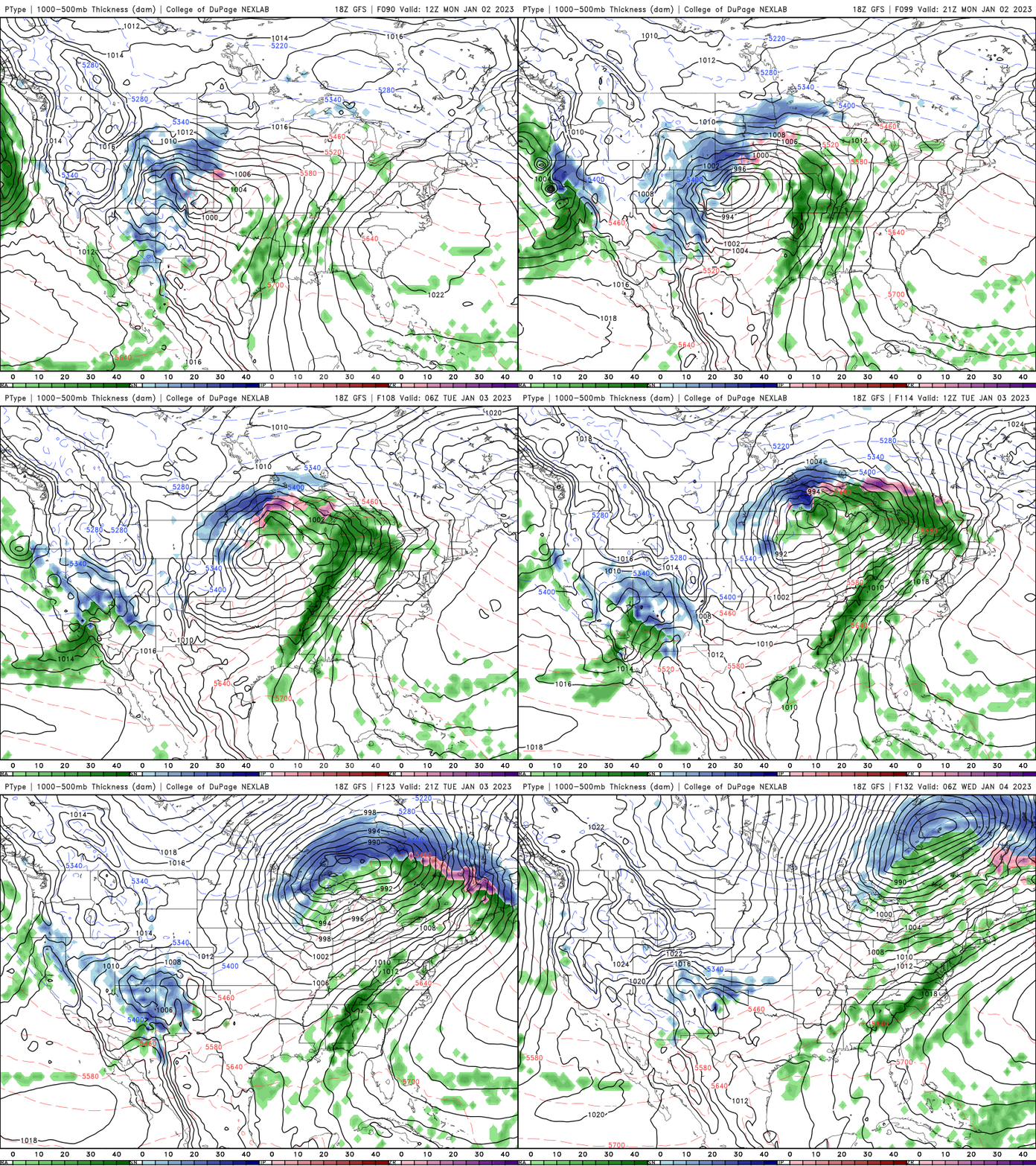
The next storm system continues to paint a rather uncertain track for Monday into Wednesday. A northerly track will bring rain to southern Minnesota and heavy snow north but a more southerly track may leave northern Minnesota dry and southeastern Minnesota clipped by heavy snow.
Turn Up Your Support
MPR News helps you turn down the noise and build shared understanding. Turn up your support for this public resource and keep trusted journalism accessible to all.

