
Lingering flurries move out, decreasing clouds Thursday
Temperatures will be cooler after Thursday for Friday

Go Deeper.
Create an account or log in to save stories.
Like this?
Thanks for liking this story! We have added it to a list of your favorite stories.


Flurries will exit early Thursday with decreasing clouds from north to south. Temperatures will range from the teens in northwest Minnesota to around 30 in the southeast. Temps will drop in the southeast into the 20s. Thursday night will be colder.
Flurries, light snow exit; clouds decrease Thursday
The last of flurries and light snow showers will exit Minnesota and western Wisconsin early Thursday.
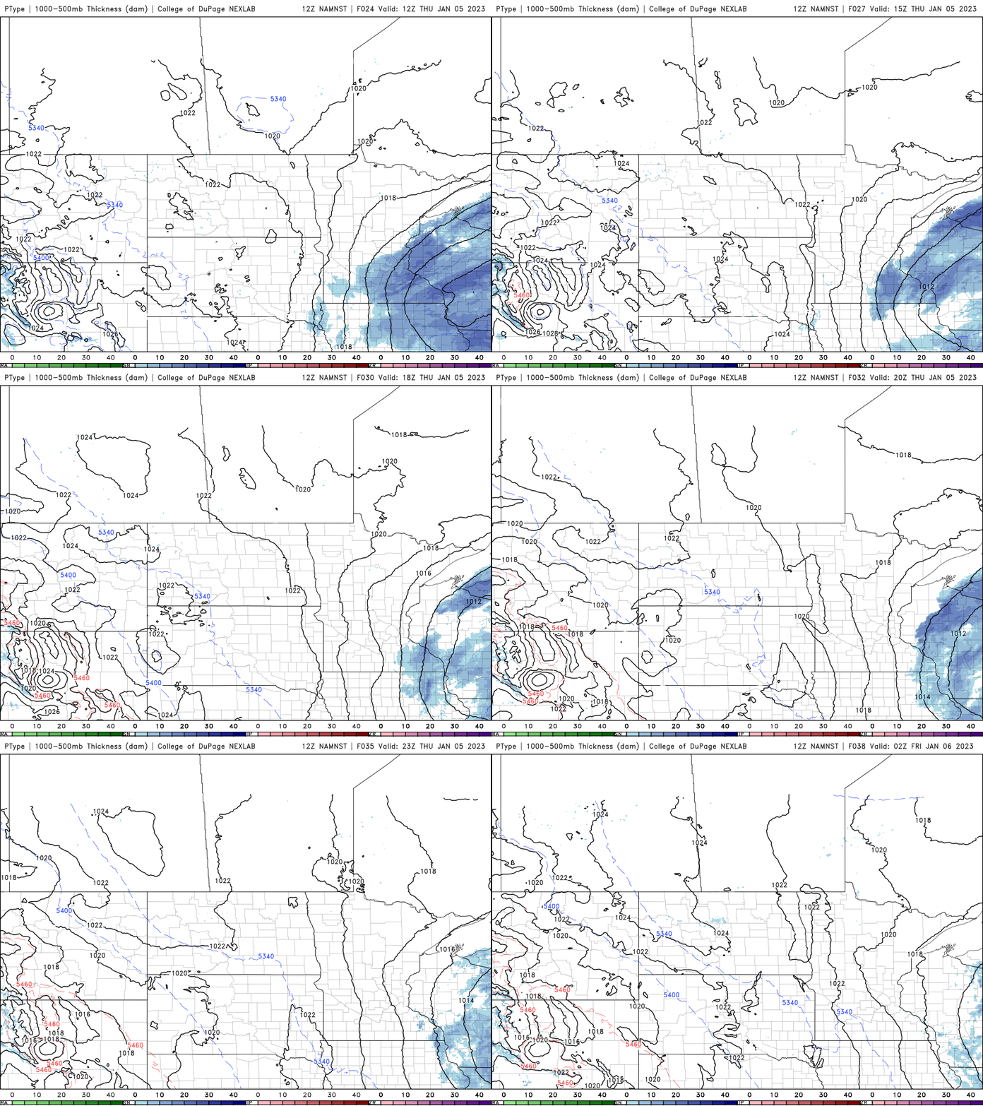
Clouds should decrease into the afternoon from north to south allowing peeks of sunshine and relatively mild temperatures to easily melt snow on paved surfaces.
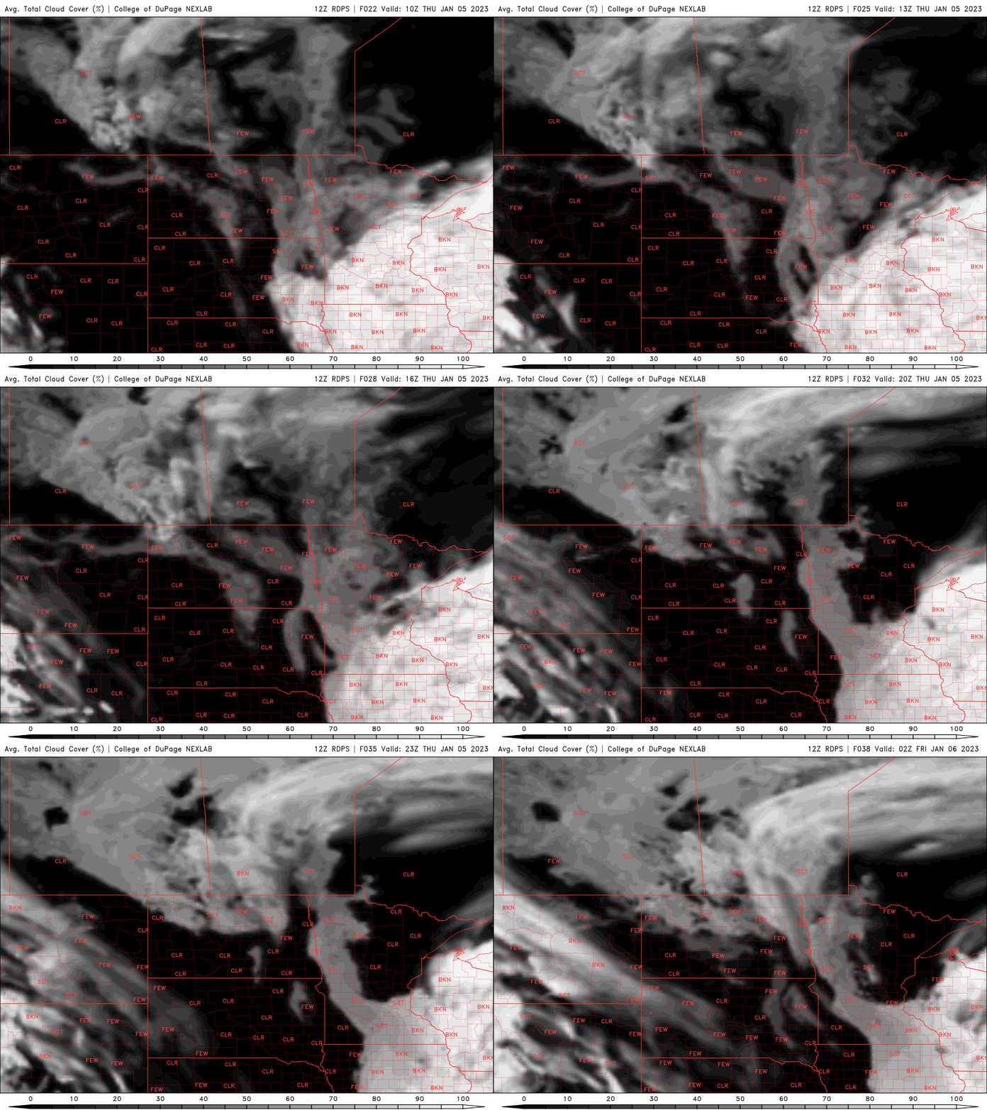
Temperatures will be chillier in the north and west, in the teens but drop from around 30 into the 20s in southeast Minnesota Thursday afternoon.
A cooler stretch into the weekend
Look for a few colder nights ahead, but not brutally so. Lows will be mainly in the single digits (to around 10 perhaps in the Twin Cities) Thursday night and into the weekend overnights. Parts of northeast Minnesota will drop a degree or two below zero.

Highs Friday will be around 20 in the south to the teens north and those similar readings will persist into the weekend with partly cloudy skies.

Overall the trend calls for above normal temperatures again next week. We’ll also remain dry through midweek. The next chance of snow potentially moving into Minnesota again is next Thursday.
Turn Up Your Support
MPR News helps you turn down the noise and build shared understanding. Turn up your support for this public resource and keep trusted journalism accessible to all.

