
Freezing fog, poor air quality continue; clearer skies, colder air coming
Longest stretch of poor winter air quality since December 2005

Go Deeper.
Create an account or log in to save stories.
Like this?
Thanks for liking this story! We have added it to a list of your favorite stories.


Areas of freezing fog and poor air quality continue Wednesday. Highs will range from the 20s to the 30s with colder temperatures and more wind Wednesday night. Lows will drop into the teens and single digits with northwest winds increasing to 10-20 mph.
Foggy, smoggy still Wednesday
Overnight light freezing rain and a wintry mix have made for some slick areas and linger into the early to mid morning hours for parts of the region. A winter weather advisory is in effect through 9 a.m. Wednesday.

The stagnant weather conditions allowing poor air quality and fog the last several days continue early Wednesday. The air quality alert is in effect through 6 p.m. Wednesday. It’s the longest stretch of poor winter air quality since December 2005.
In addition to the poor air quality we have areas of freezing fog again through much of the morning Wednesday. That should improve through the day as it will be mild again Wednesday. High temperatures will range from the 30s southeast to the 20s northwest.
Turn Up Your Support
MPR News helps you turn down the noise and build shared understanding. Turn up your support for this public resource and keep trusted journalism accessible to all.

Rising winds, colder temps will clear the air
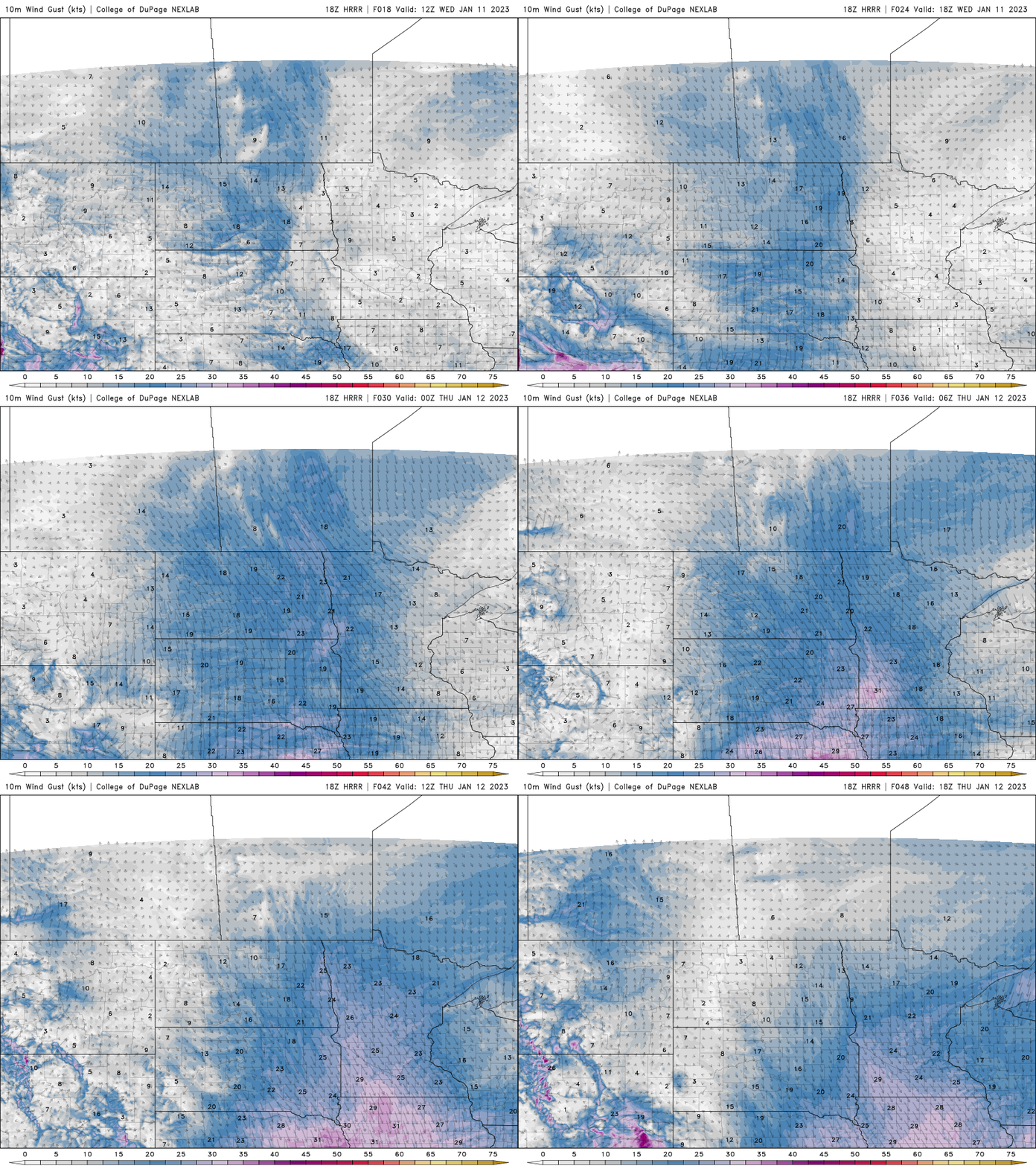
Cooler air is moving in behind the system that produce snow and a wintry mix Tuesday night. Winds will increase Wednesday night into Thursday. This will dramatically improve visibility and air quality again.
Winds will blow from the northwest at about 10-15 mph but increase to 20-25 mph in southwest Minnesota Thursday.
Low temperatures Wednesday night into early Thursday will fall into the single digits in northwestern Minnesota to around 20 in the Twin Cities.

High temperatures Thursday and Friday will be mainly in the teens (north) and 20s (south). Sunshine should start to break out Friday with more of it on Saturday.
High temperatures return to milder territory by the weekend also with 30s Saturday and even a shot at 40 in southern Minnesota by Sunday and Monday.

