
Cool Friday, milder weekend; 2 storms to watch next week
Near-normal temperatures Friday, warmer again Saturday
Go Deeper.
Create an account or log in to save stories.
Like this?
Thanks for liking this story! We have added it to a list of your favorite stories.


A cool Friday will be followed by much milder air already for the weekend. Highs will be above freezing for many Saturday with a chance at 40 Sunday south. Rain develops Monday with snow Monday night in southern Minnesota.
Friday morning lows varied dramatically
There was a big difference between west and east in Minnesota early Friday. Many places in western Minnesota were below zero with areas of freezing fog developing, while the clouds hung on and kept temperatures 10 to 15 degrees warmer in eastern Minnesota.

Friday will be cool again, with afternoon high temperatures mainly in the teens to around 20. We should see increasing breaks in the clouds allowing for some sunshine.
Warmer air moves in
Saturday will be brighter with more sun than clouds. Temperatures will already be warming back up as 30s spread across most of Minnesota.
Turn Up Your Support
MPR News helps you turn down the noise and build shared understanding. Turn up your support for this public resource and keep trusted journalism accessible to all.

Clouds roll back in Sunday but it will still be mild. In fact, it will be even warmer across southern Minnesota with the potential for 40 degrees.

Tracking two storm systems next week
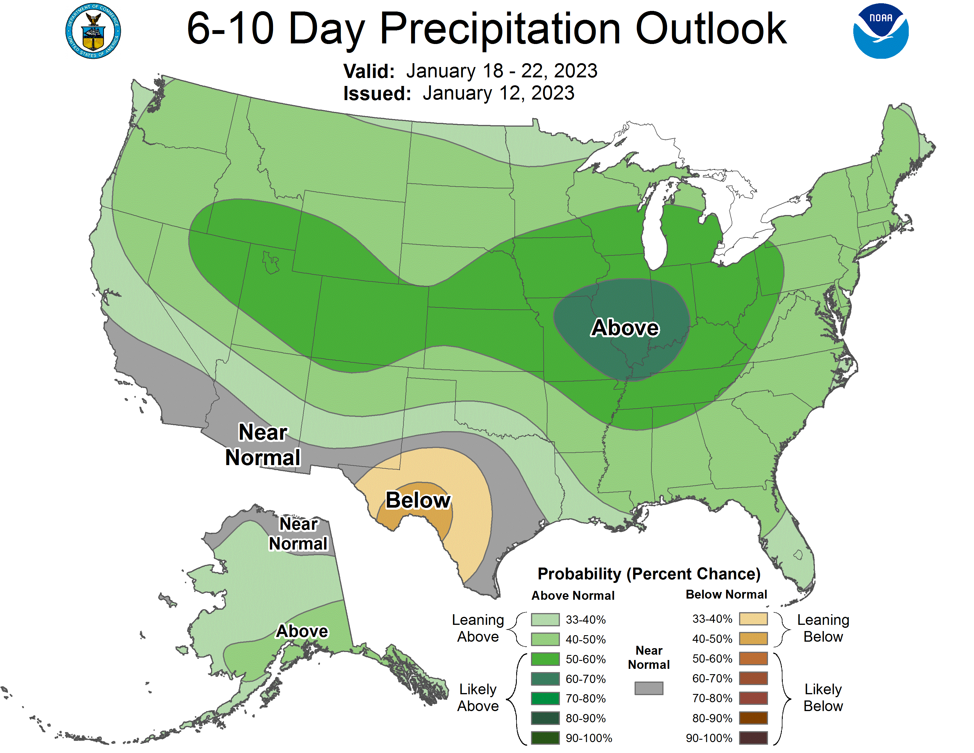
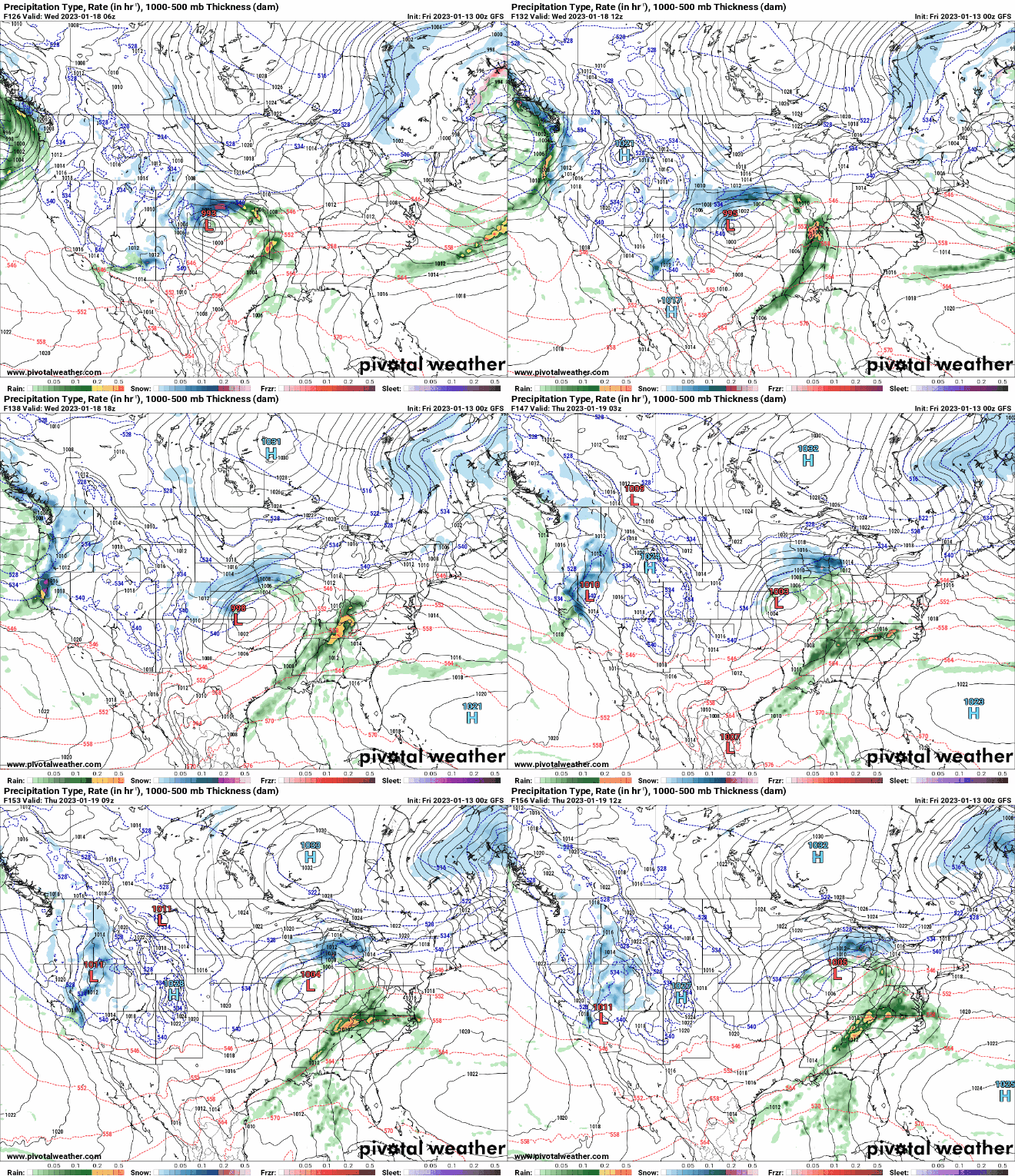
We’re tracking two storms next week as the pattern once again becomes more active across the central U.S.
The first storm system will develop rain showers Monday across southern Minnesota that likely change to snow Monday night.
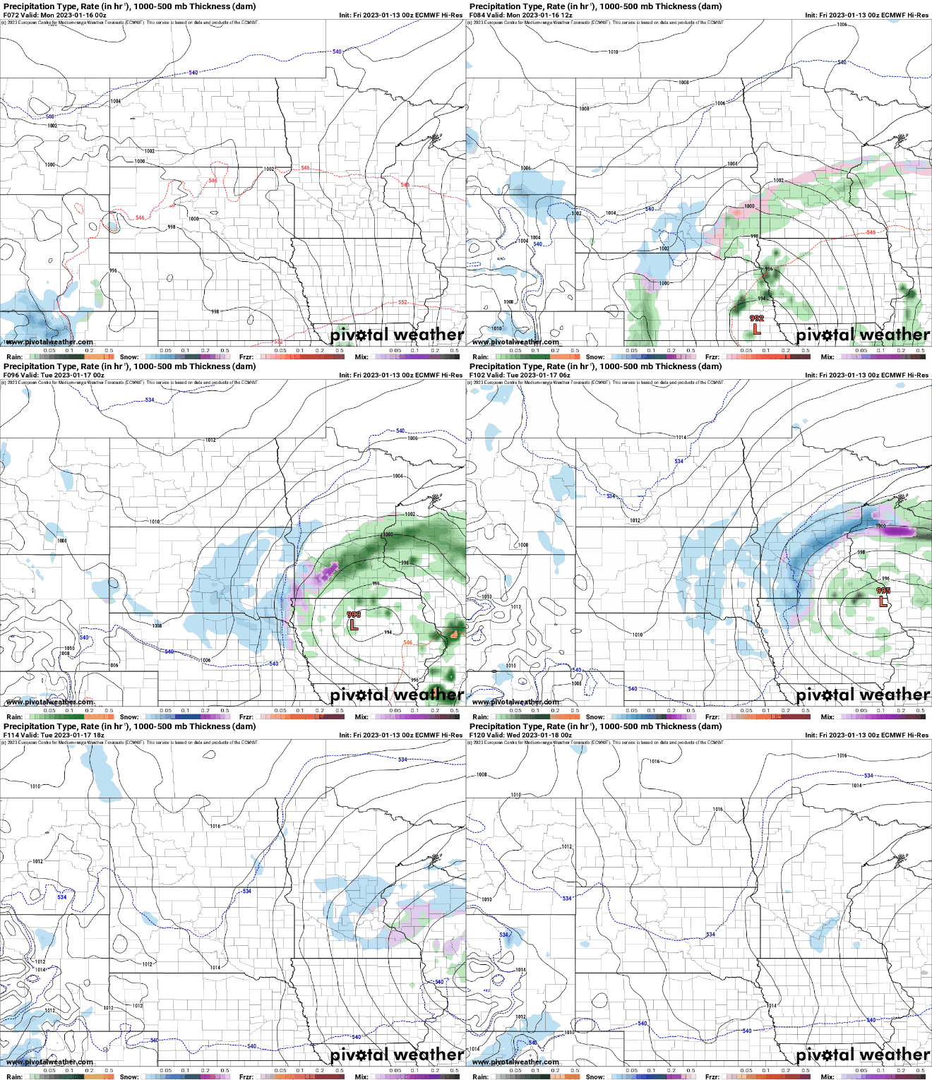
The next system develops Thursday. The track has varied but it does appear overall that the trend is to keep the heaviest snowfall more on a southeast track. It’s still six days out, however, and can easily change.
California hit with another ‘atmospheric river’
Another surge of moisture is hitting the saturated regions of California this weekend.
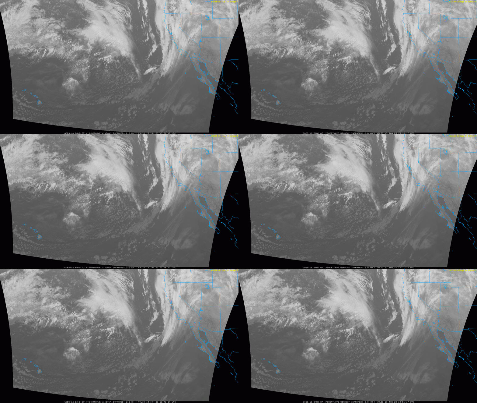
An atmospheric river — a large plume of moisture that originates in the tropical Pacific to the west coast of the United States — is bringing heavy rainfall and heavy snow in the mountains.


