
Expect 5-9 inches snow overnight in SE Minnesota, 3-6 in Twin Cities
Warnings, advisories posted across southern Minnesota

Go Deeper.
Create an account or log in to save stories.
Like this?
Thanks for liking this story! We have added it to a list of your favorite stories.


Snow will fall mainly Wednesday evening into Thursday morning leaving behind more than 6 inches of snow for parts of southern Minnesota. Temperatures will be cooler Friday into the weekend.
Storm warnings, advisories set to kick in
Winter storm warnings take effect by 6 p.m. Wednesday in southwestern Minnesota and by 9 p.m. in southeastern Minnesota. Winter weather advisories go into effect at 12 a.m. Thursday for most other areas, including the Twin Cities.

Snow will start in the early evening in southwestern Minnesota and spread north and east into the overnight with snowfall likely reaching the Twin Cities are by 10 p.m. Wednesday to 12 a.m. Thursday. The heaviest snow will fall around midnight into the early morning hours.

While we’ll see lingering lighter snow showers into midday and the early afternoon hours Thursday, the bulk of the accumulating snowfall will wrap up by the mid morning Thursday.
Turn Up Your Support
MPR News helps you turn down the noise and build shared understanding. Turn up your support for this public resource and keep trusted journalism accessible to all.
The heaviest totals will be along Interstate 90 from Worthington to Albert Lea to Rochester with less, but still significant snowfall in the Twin Cities area.
Cooler temps ahead
We won’t quite see an arctic blast, but cooler temperatures will run a little closer to normal Friday into the weekend with highs mainly in the 20s south and teens north. Those readings will still largely be slightly above normal.

It’s been a mild January thus far. Temperatures are running 13.4 degrees above normal in International Falls, 10.7 degrees above in Duluth and 7.6 degrees above normal in the Twin Cities.
Northwestern Minnesota hasn’t been quite as anomalously warm, with temperatures averaging about 3.1 degrees above normal in the Fargo-Moorhead area.

The models do bring in colder air by the middle of next week but differ on how cold it could get.
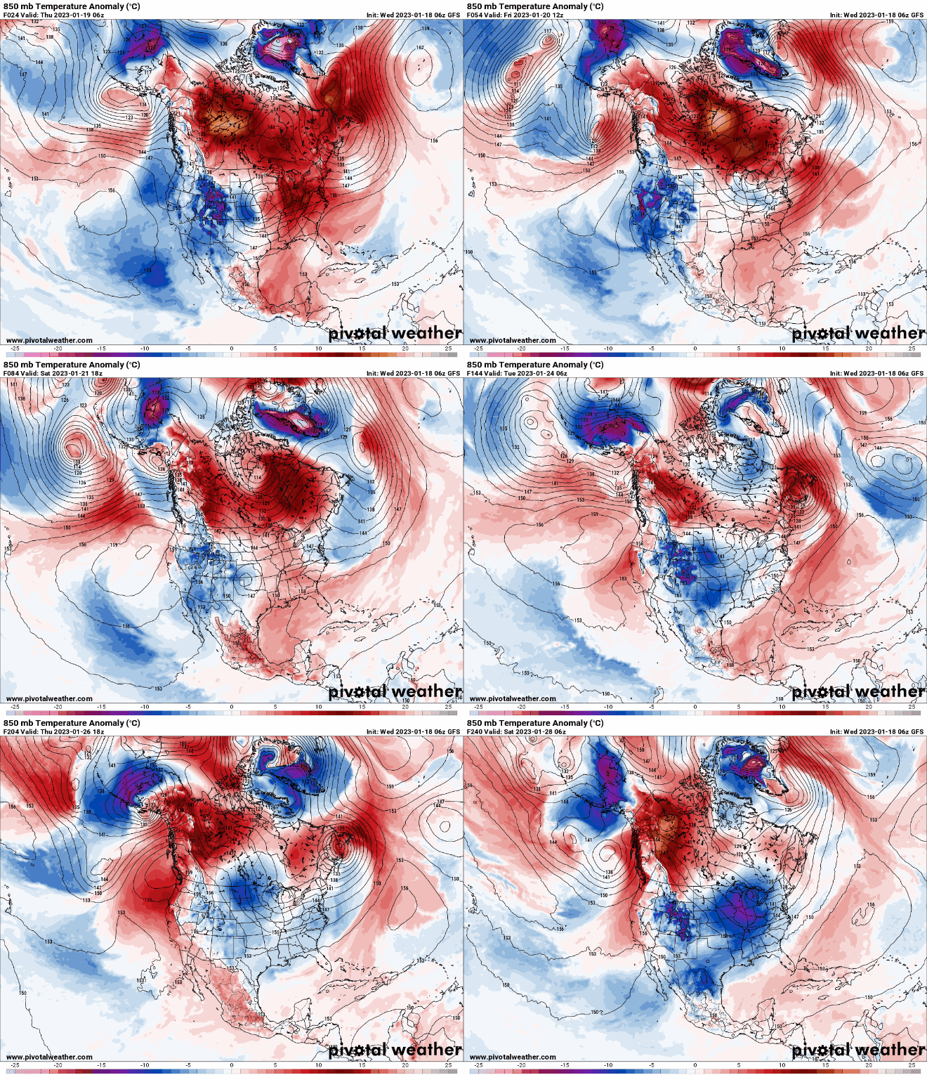
Here’s a comparison of two models with rather different temperature outcomes for Friday next week:


