
Cooler Thursday with some sun; snow overnight into early Friday, then frigid
Another round of snowfall accumulation for most Thursday night

Go Deeper.
Create an account or log in to save stories.
Like this?
Thanks for liking this story! We have added it to a list of your favorite stories.


Temperatures will be colder Thursday, with highs in the teens east and 20s west but we’ll have some sunshine too. Snow showers will develop in northwest Minnesota late Thursday and spread across Minnesota Thursday night into early Friday.
Cooler Thursday; snow overnight into early Friday
It’s a colder morning Thursday with northern Minnesota below zero and single digits above zero in southern Minnesota behind Wednesday’s clipper system. We’ll see high temperatures in the teens east and 20s west.
We’ll also see some sunshine before the next clipper moves in.

Snow showers will again develop in northwestern Minnesota late Thursday afternoon as the second clipper of the week moves through. Snow showers will expand statewide overnight Thursday night into early Friday.
Turn Up Your Support
MPR News helps you turn down the noise and build shared understanding. Turn up your support for this public resource and keep trusted journalism accessible to all.
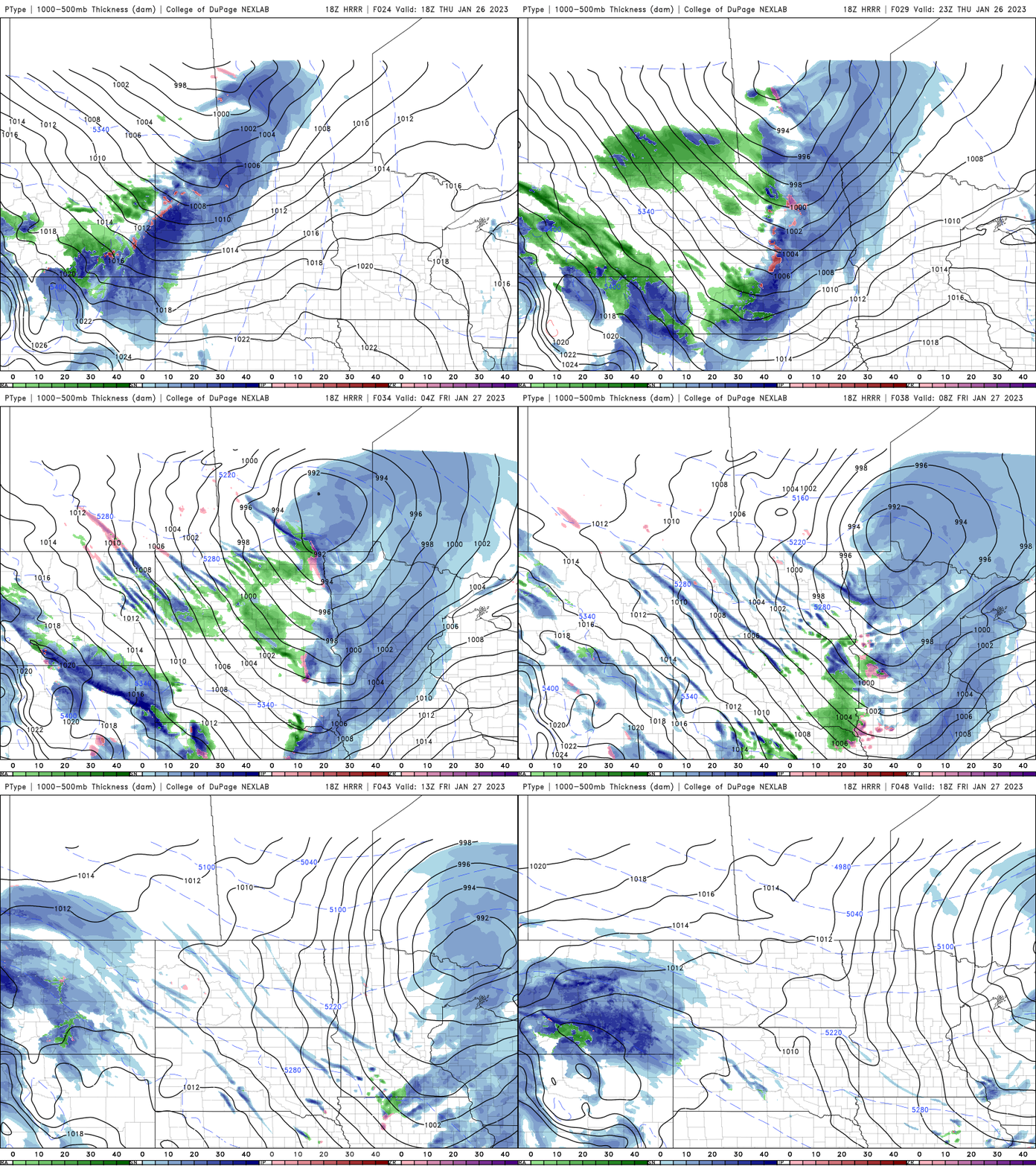
Most can expect another coating to as much as 2 or so inches of fresh snowfall.

Here comes the cold
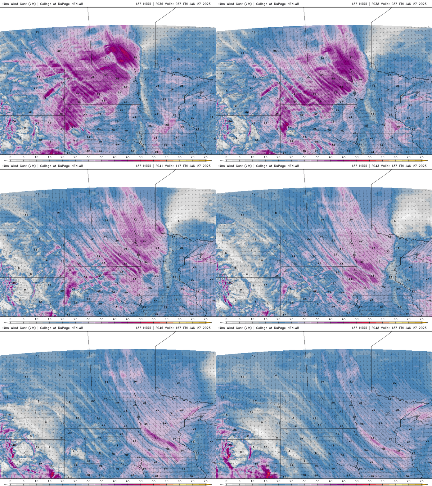
Winds will increase Friday behind this next clipper as arctic air plunges south. Wind speeds will be about 10-25 mph with gusts of 30-45 mph in southwestern Minnesota.
Temperatures will drop through the day from the 30s and 20s into the teens in southern Minnesota. Low temperatures Friday night will slip into the teens below zero for portions of northwestern Minnesota to barely the single digits above zero in southeast Minnesota.

Wind chill values will range from 10 to 30 below zero Saturday and even 20 to 40 below zero Sunday at their coldest in the morning hours.


